About real clouds, weather, cloud seeding and science autobio life stories by WMO consolation prize-winning meteorologist, Art Rangno
50 actual shades of gray
Huh, Sounds familiar. Well, 50 shades of gray is a theme here at cloud-maven.com. Those various shades brought 0.02 inches of rain this morning to The Heights. Here are yesterday’s 50 shades:
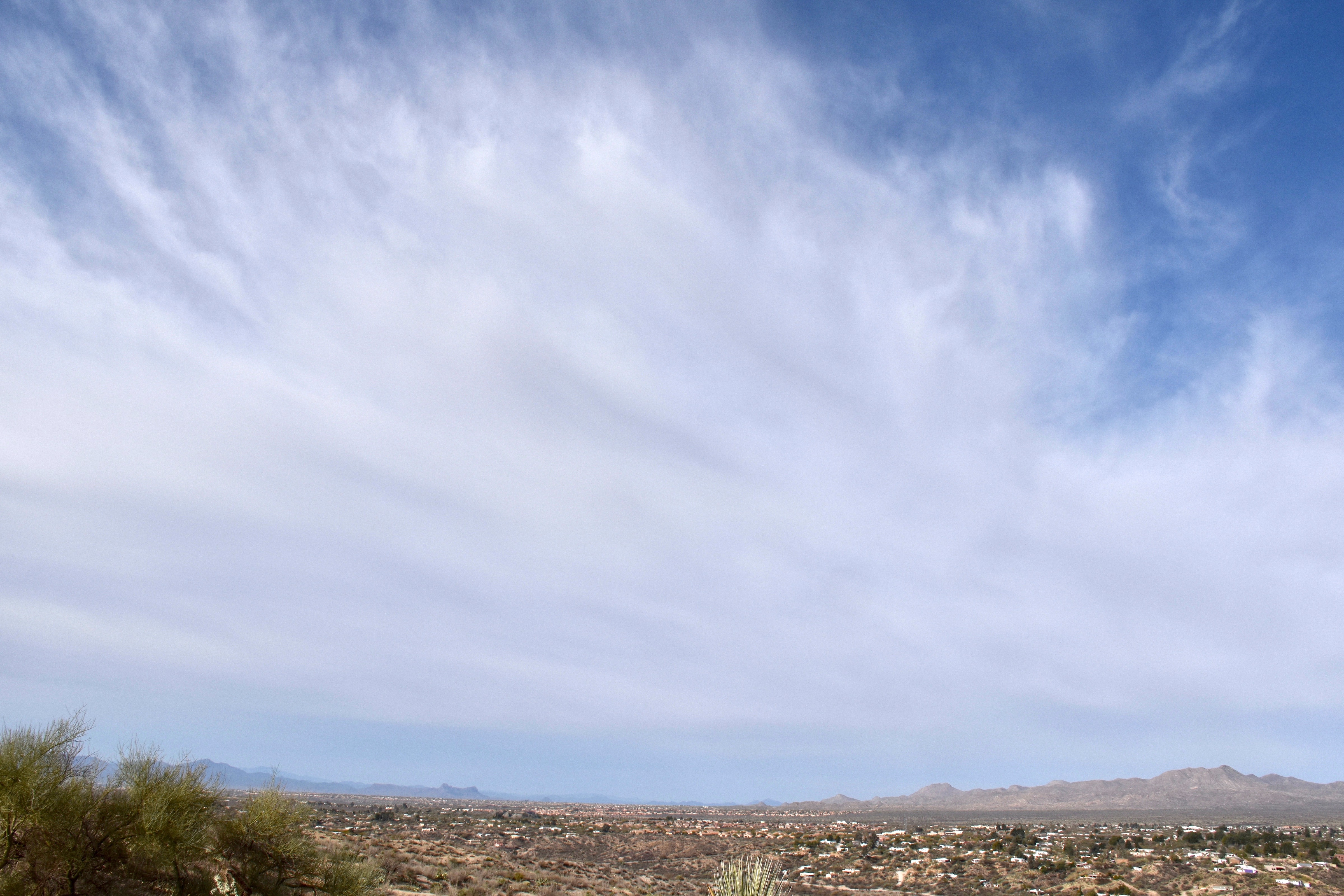
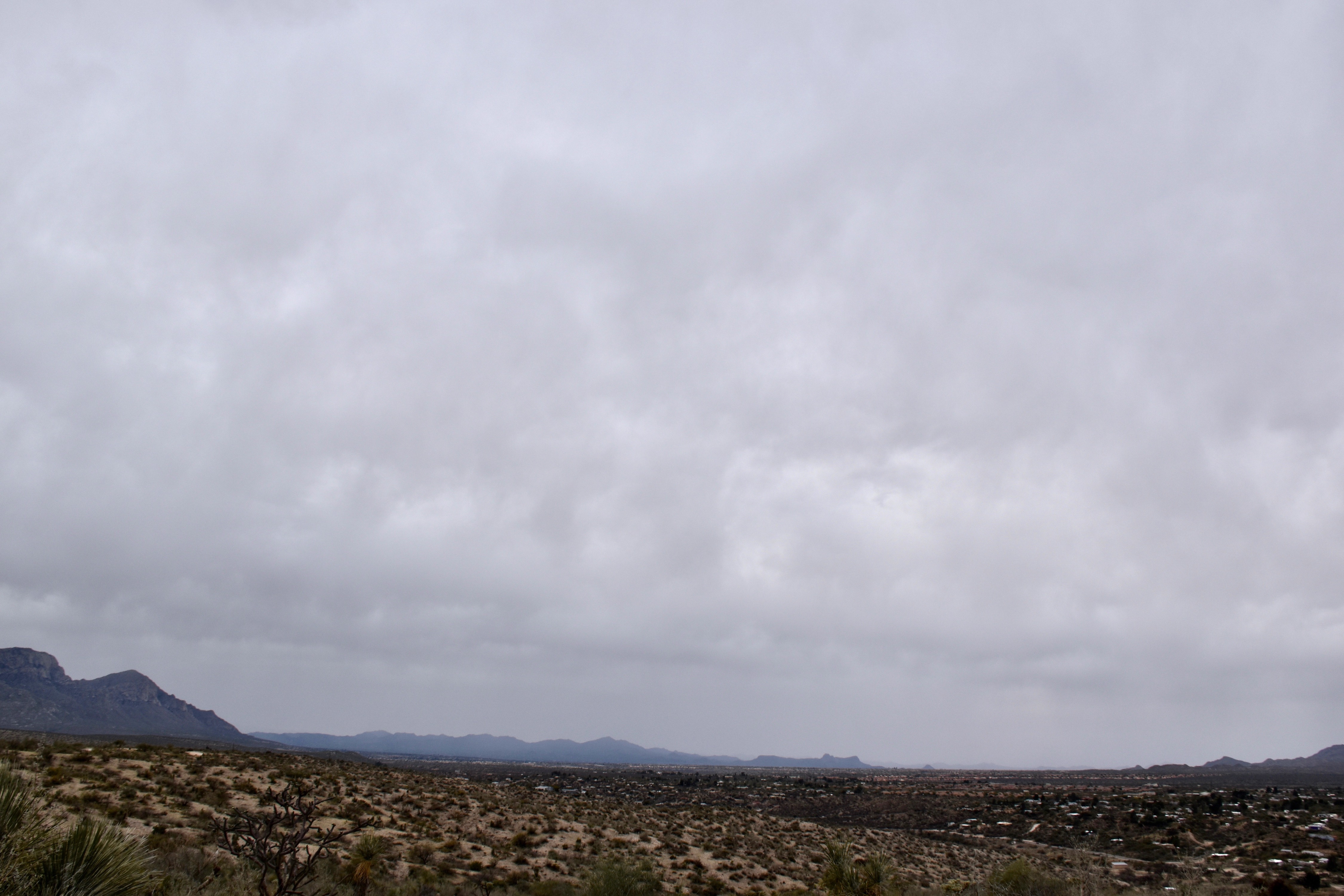
7:58 AM. Massive ice cloud advances on Catalina from the Tropics.
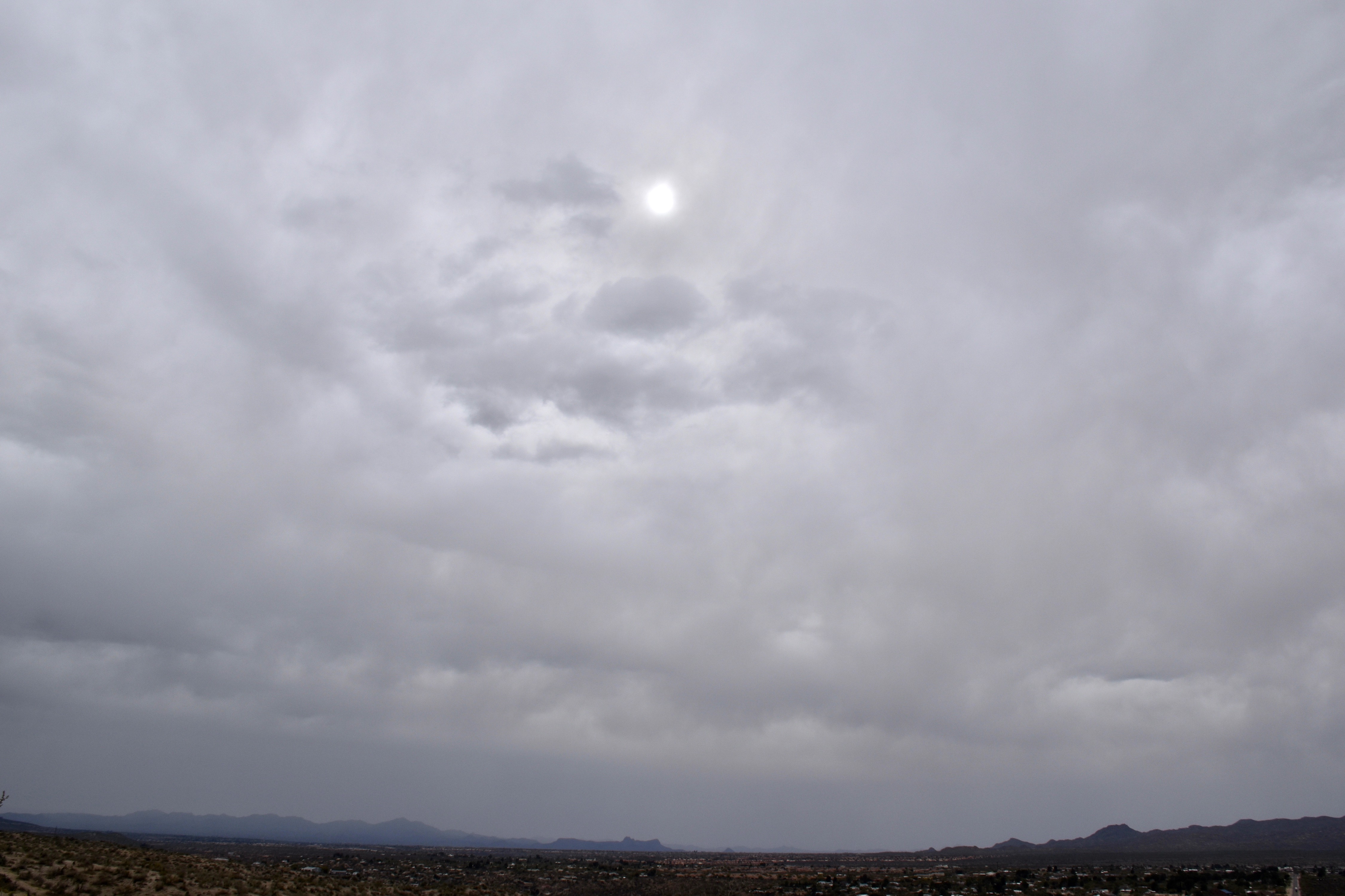
This Altostratus invasion covered the sky within about 15 minutes, and that was it for sun, except some “filtered sun” at times (when this layer is called Altostratus translucidus (the sun’s position can be seen). Its an all ice or mostly ice cloud.
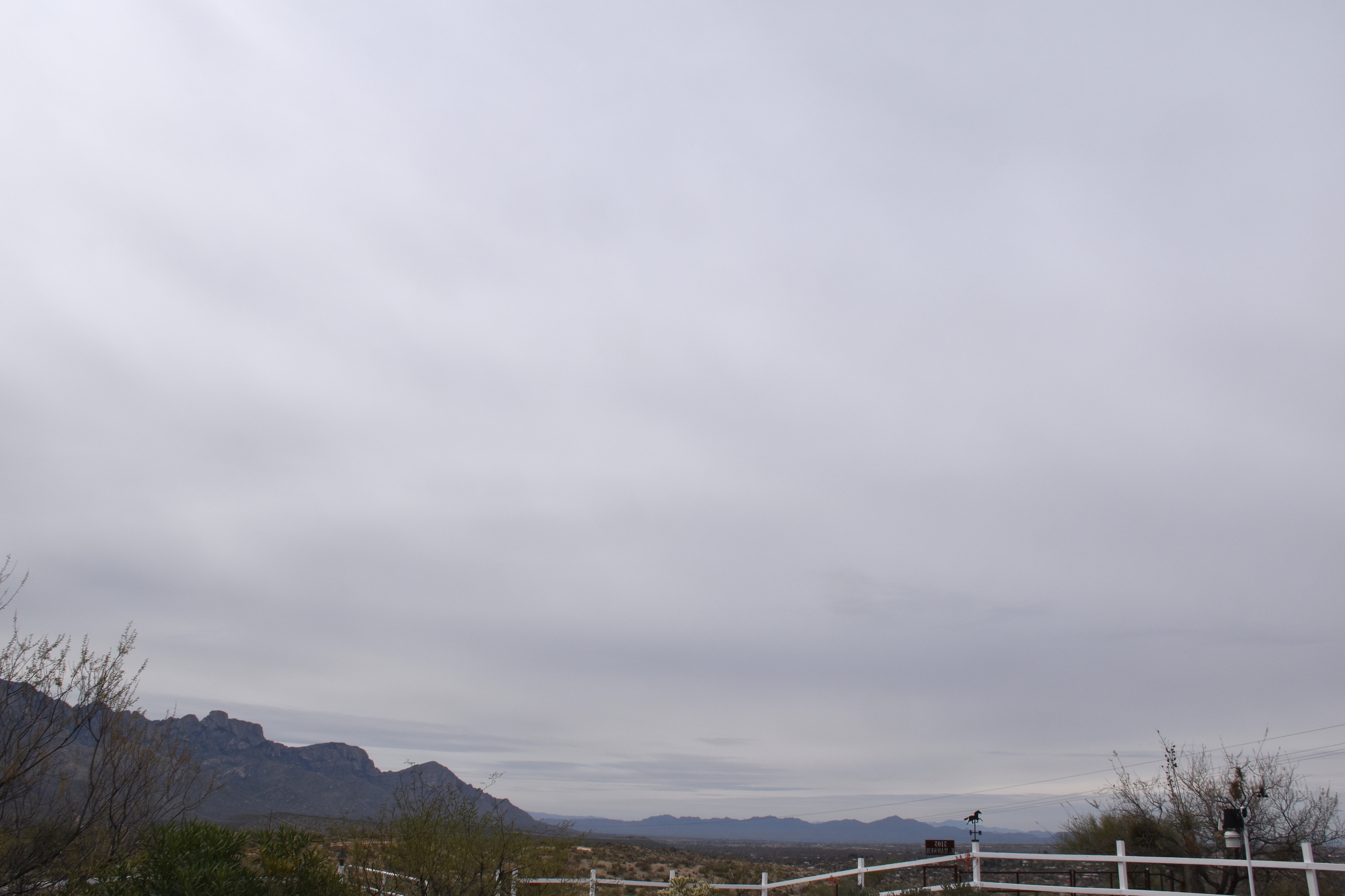
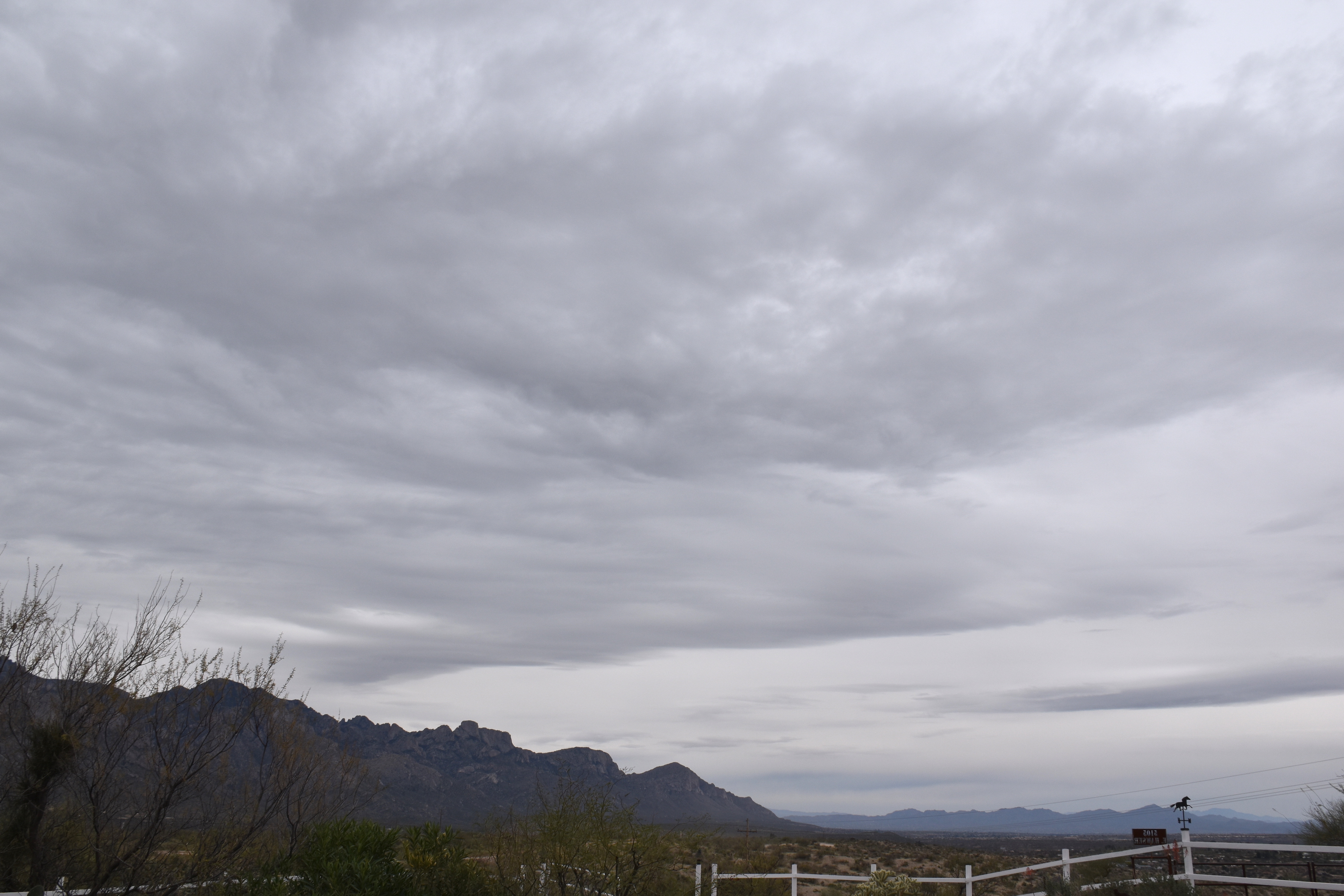
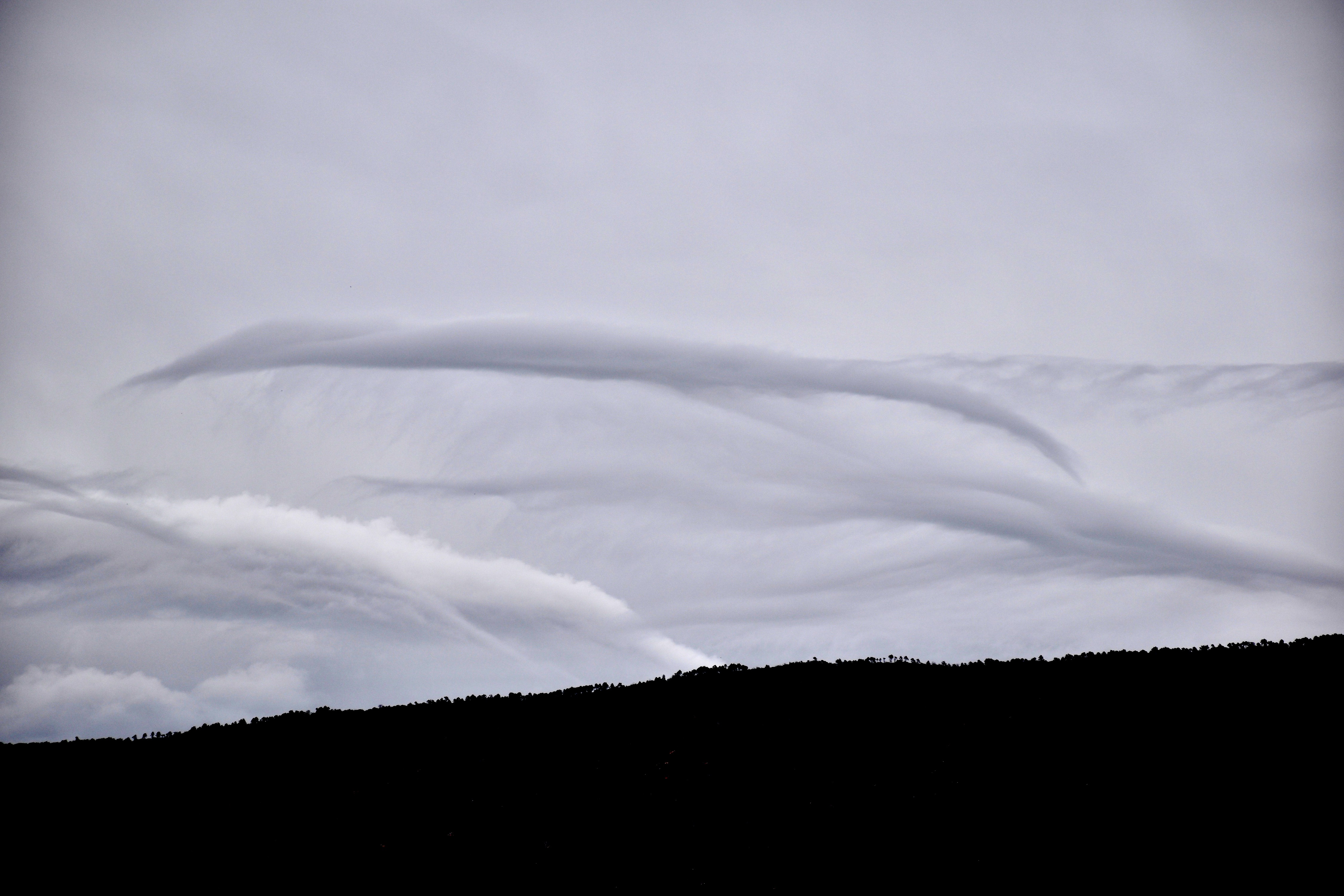
10:58 AM. Altostratus creates a pleasant gray sky.1:26 PM. Lower droplet clouds began to appear, high-based Stratocumulus. The globules are too large to be Altocumulus, though these were based at about 7,000 feet above Catalina, or a little above the height of Ms. Lemmon.1:26 PM. A UFO appears to be soaring toward Catalina with some kind with a trailing spider web. Other lenticular can be seen, this one was truly out of this world. But, from where? What world?1:41 PM. More lenticulars; more shades of gray.3:36 PM. Altostratus is now transitioning to Nimbostratus with lower bases as steady, but very light rain, moves in toward Twin Peaks. What you’re looking at here is mostly virga, and, as the relative humidity increases below virga bases, the virga is able to drop to lower elevations. The humidity is increasing due to gradually rising air that is accompanying an upper level trough. Got pretty wind about this time, too, before calming down. Not sure what that was from except maybe virga falling into very dry air ahead of the rain.3:42 PM. Classic look of Altostratus translucidus. “Opacus” (too thick to see the sun), just ahead. Those darkest areas near the sun are droplet clouds. Most of the scene is ice cloud.4:16 PM. Finally, as very light rain began to fall, we now see the most perfect view of Nimbostratus you’ll ever see. I hope you took plenty of shots of this scene cloud maven juniors! (Nimbostratus, the deep, deep cloud producing steady rain and snow is almost ALWAYS partly or totally obscured by lower Stratocumulus clouds so you can’t really see it. But, not here!
The weather ahead
Pretty much a sure-thing rain (we, unprofessionally forecast at least a 90-100% chance of measurable rain then) will move in late on the 16th or on the 17th. Should be a significant, vegetation-boosting rain, too–by that I mean at least a quarter of an inch–unlike this rain this morning. It looks,. too, like a second rain might move in a day or two after that one. Quite strong support in the ensembles (“spaghetti plots”) for that to happen, too. How great would that be? Very great, of course.
After that, the models are showing even more troughs affecting AZ, but the ensembles aren’t sure about it. Neither am I (CMP).
The End
By Art Rangno
Retiree from a group specializing in airborne measurements of clouds and aerosols at the University of Washington (Cloud and Aerosol Research Group). The projects in which I participated were in many countries; from the Arctic to Brazil, from the Marshall Islands to South Africa.