About real clouds, weather, cloud seeding and science autobio life stories by WMO consolation prize-winning meteorologist, Art Rangno
Sutherland Heights rain total ponies up to 1.10 inches!
That was about three times more than CMP (me) expected, and it was such a fabulous a rain! That soaking amount should start the spring greening that we love here. With more rains in the pipeline, eventually, after another longish dry spell, maybe the spring bloom won’t be as bad as it once looked.
As we who love the Sonoran Desert know, its a pretty special place when it comes to rain. But only recently did I learn that the SD is the ONLY desert in the world (!!!) with TWO rain seasons, so great for a cloud-loving meteorologist1, though three or four rain seasons would be that much better. Now, after some interesting information, clouds: yesterday’s, of course: a study in gray2, more or less.
Yesterday’s clouds
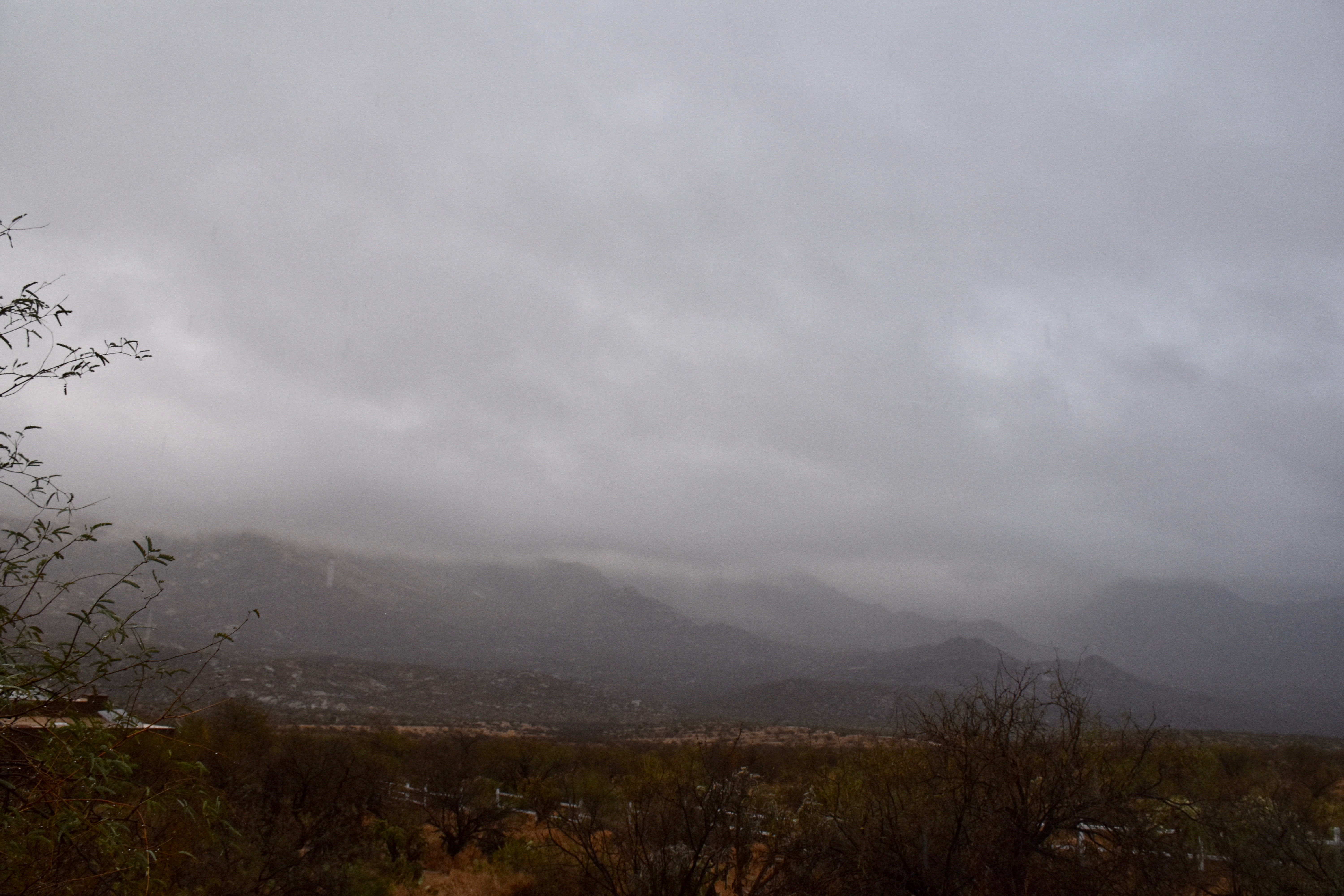
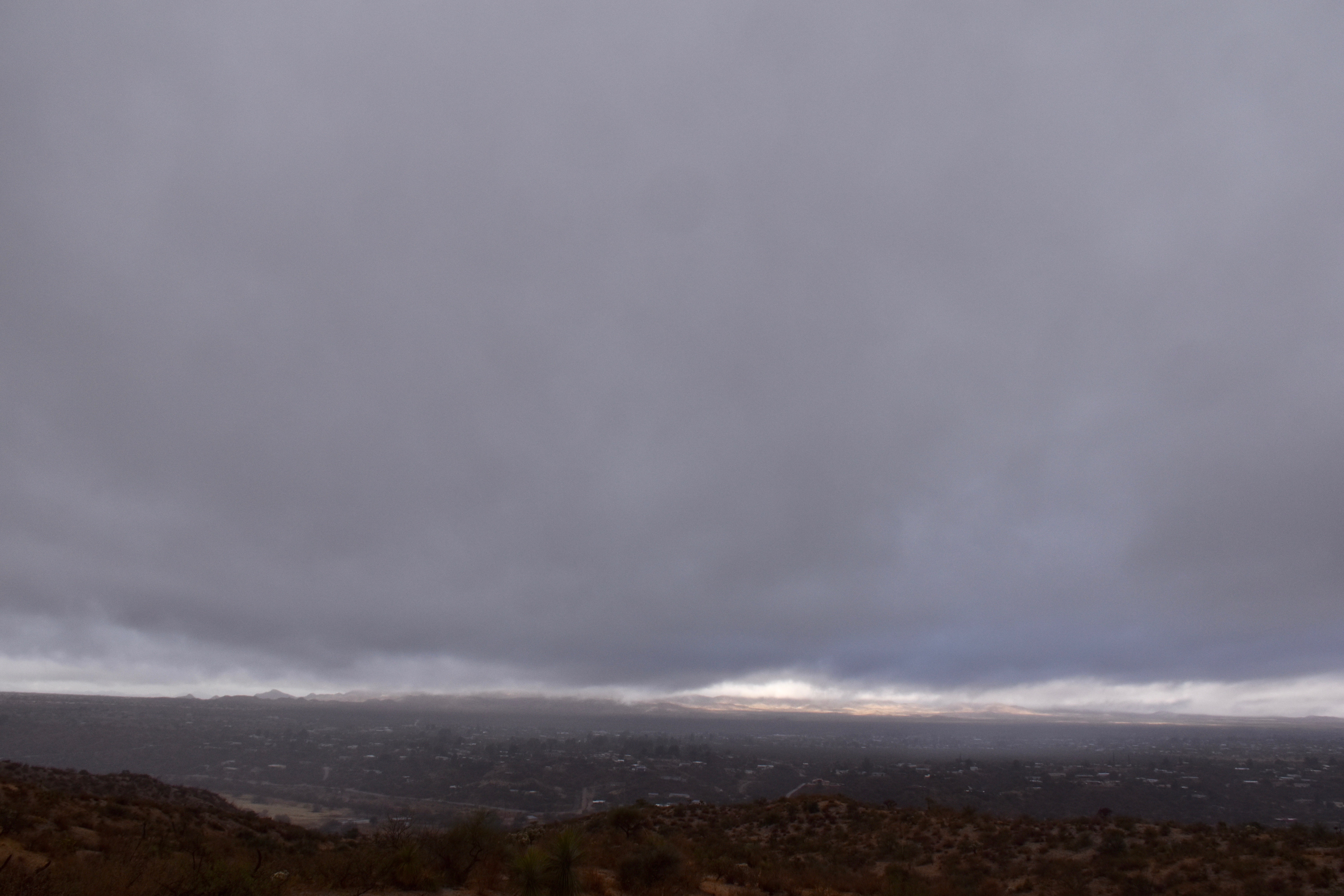
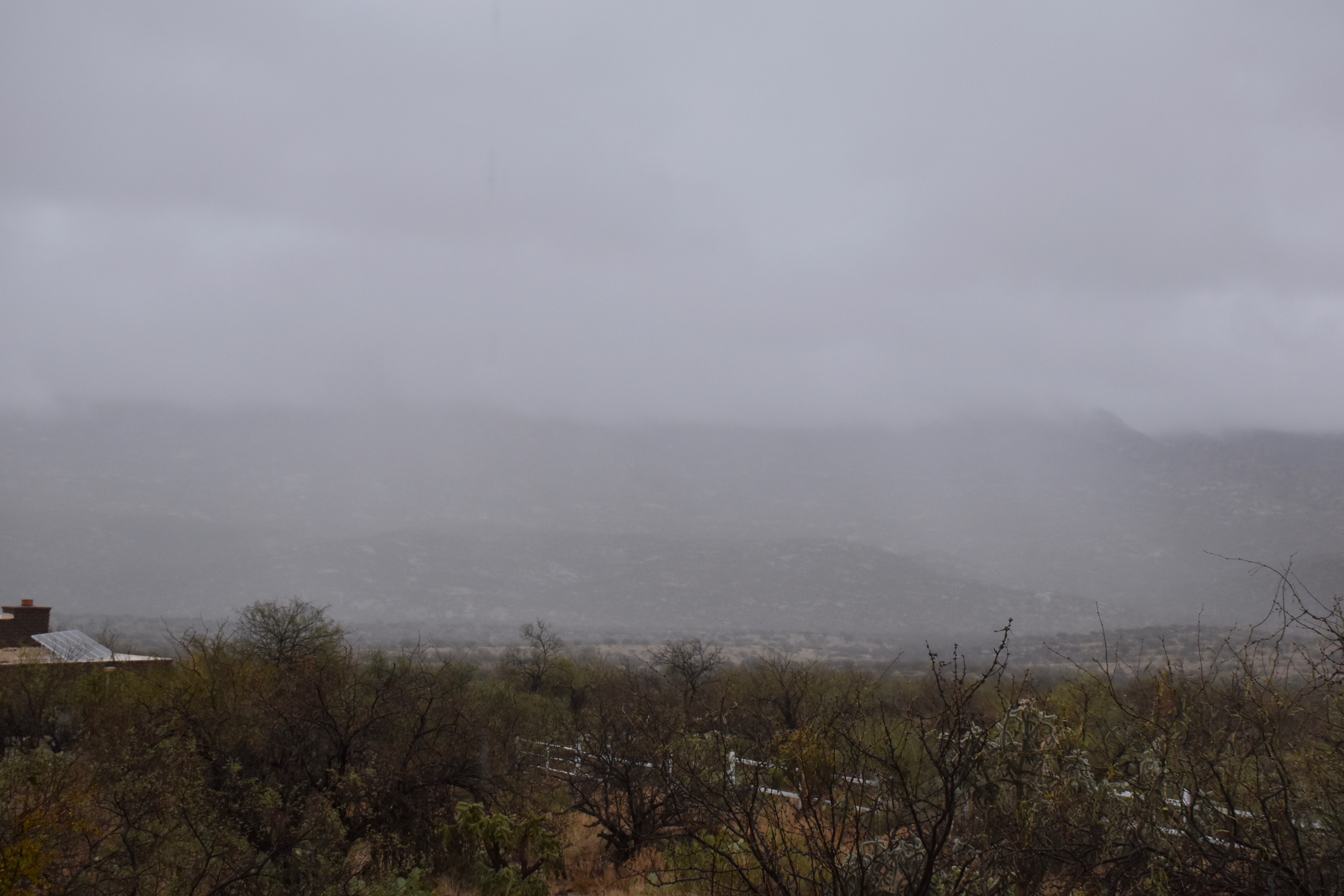
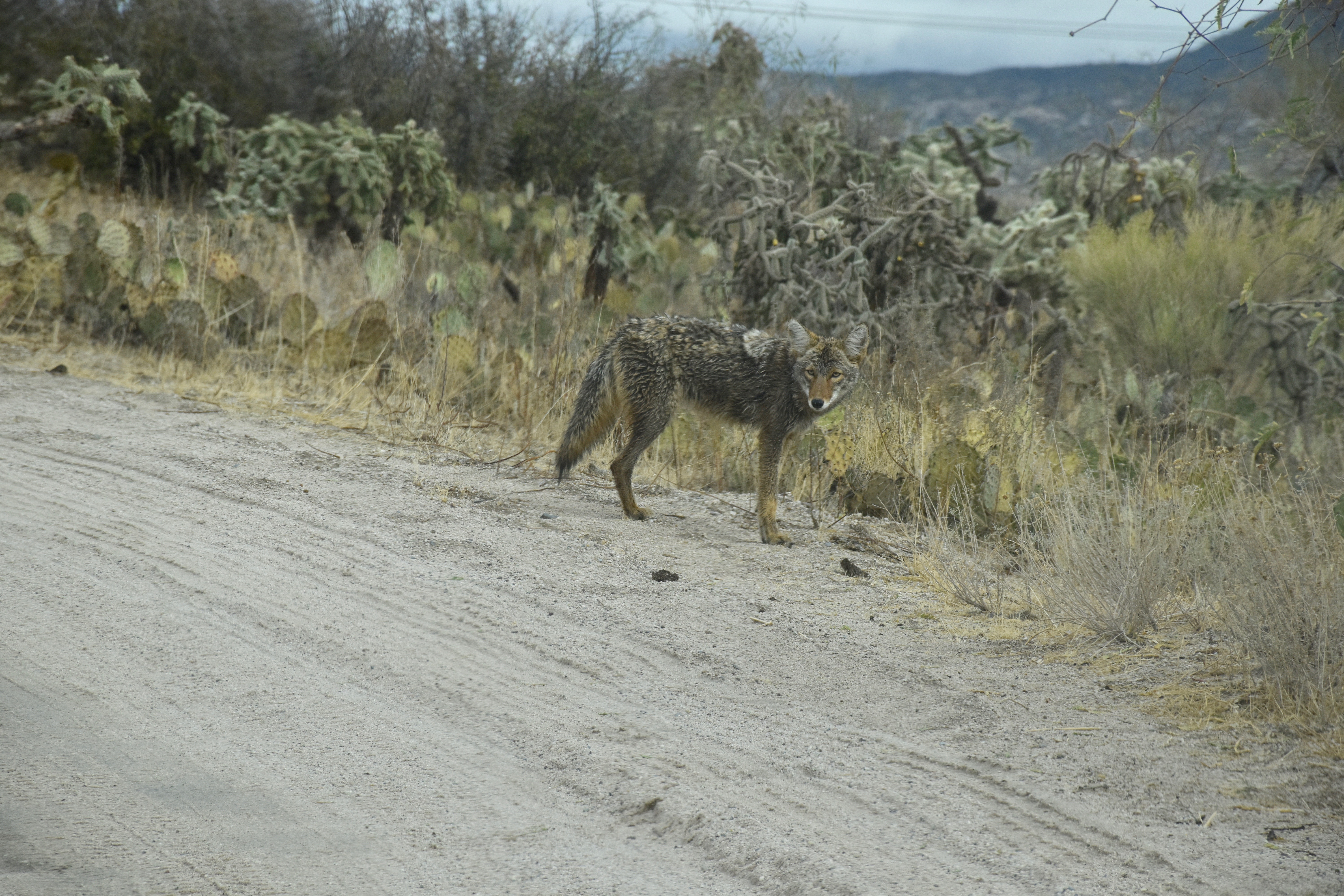
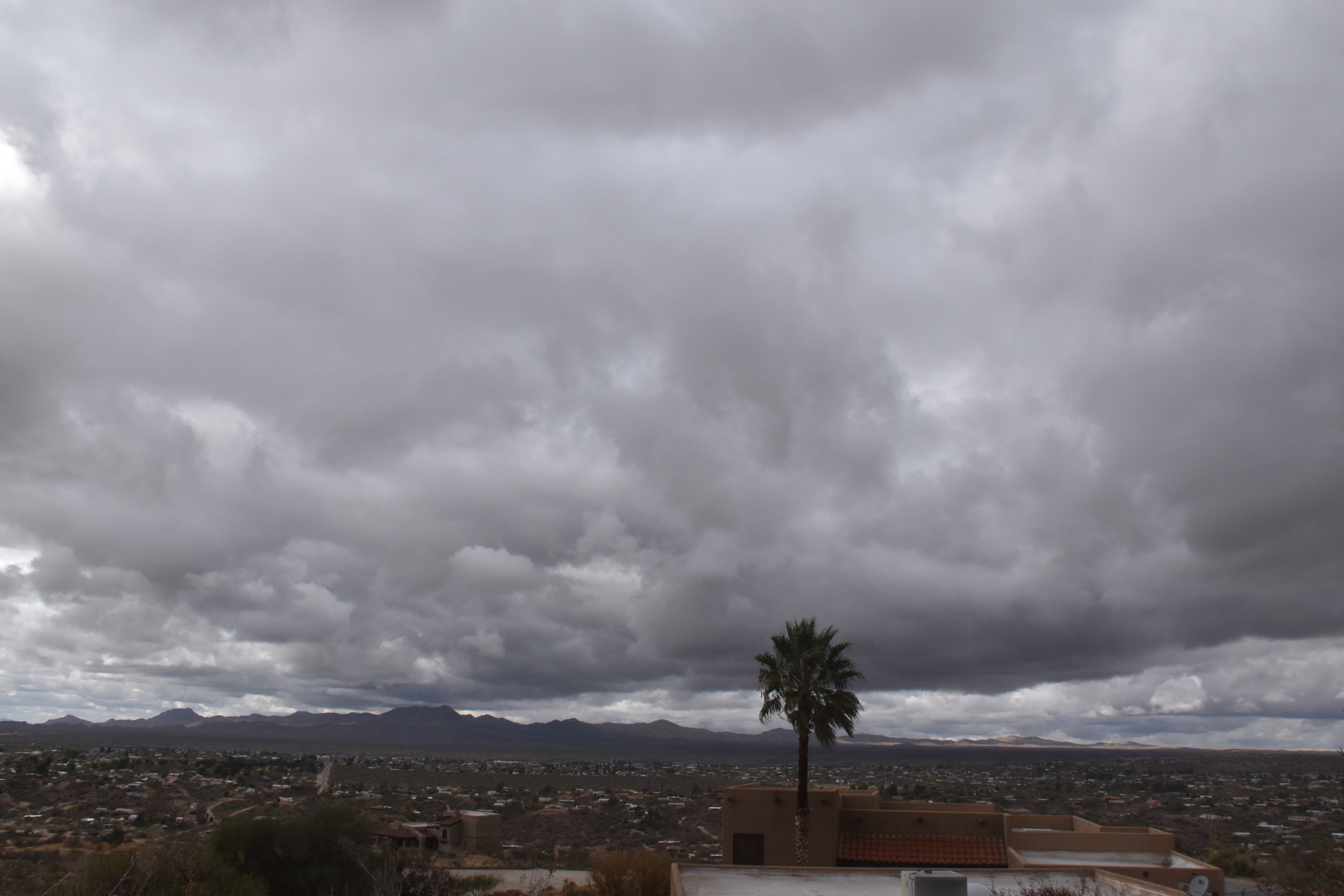
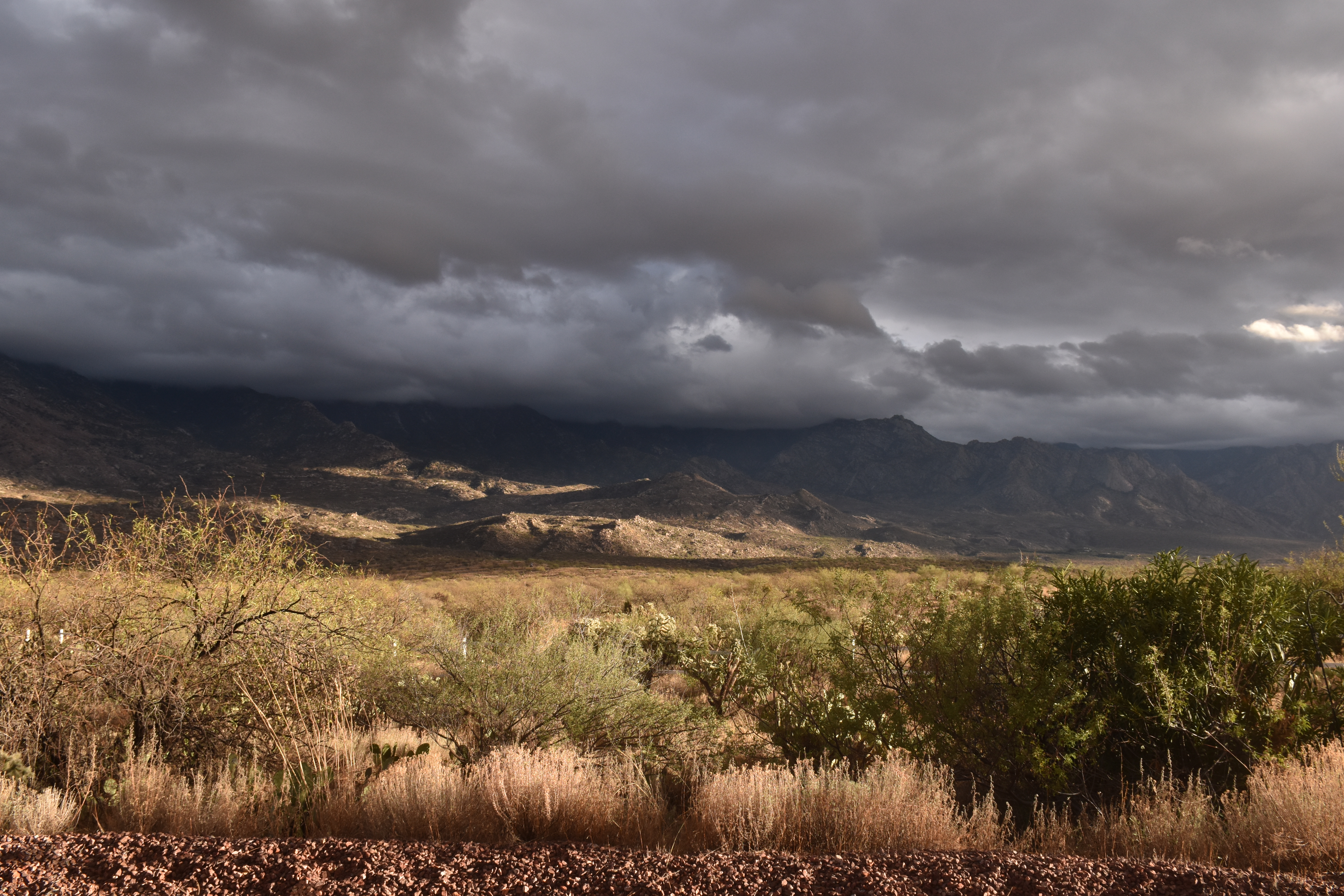
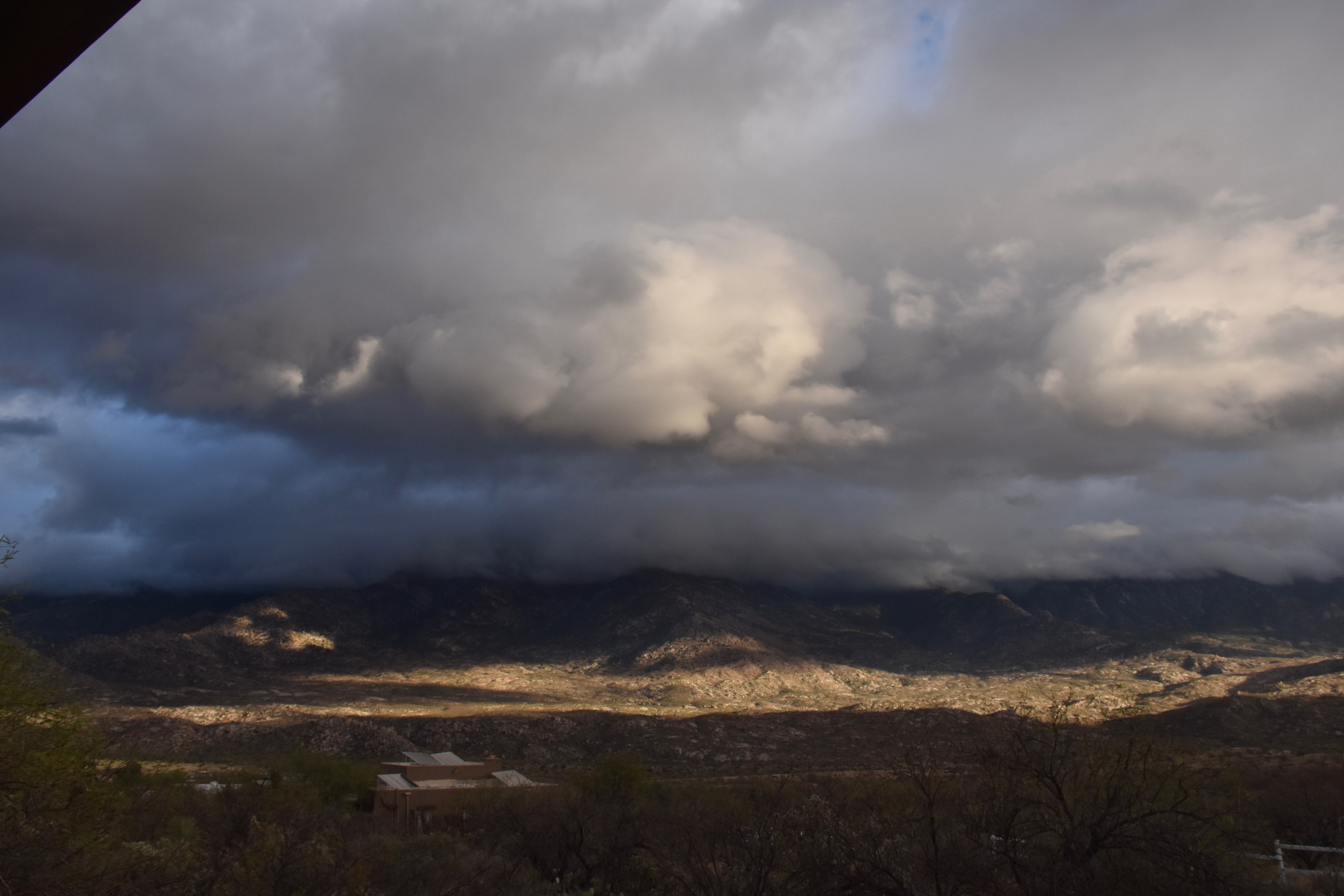
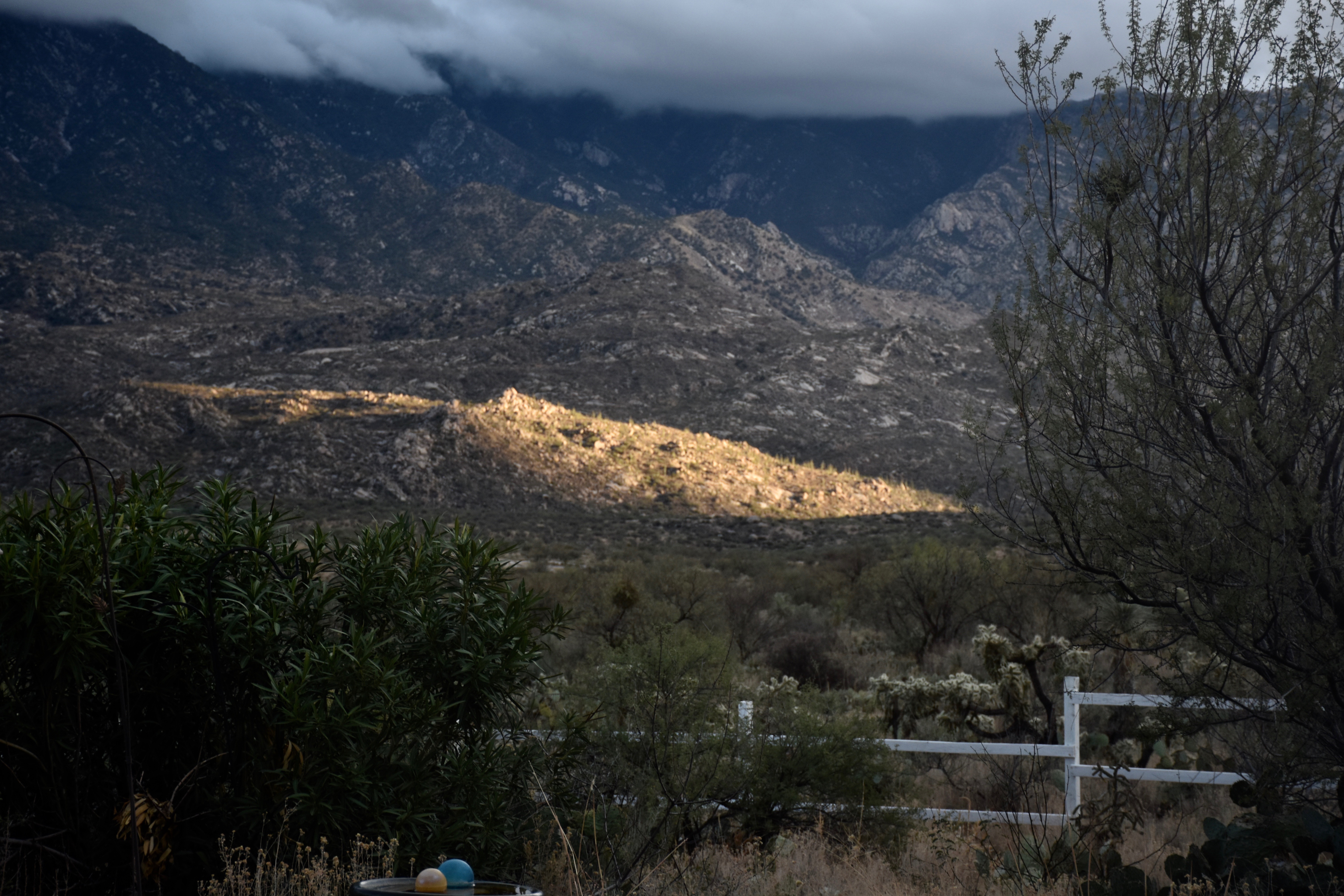
7:53 AM. The sky had kind of a mellow gray cast to it as the day started, not much detail as rain falling out of the gray clouds obscured the usually ragged bases. This is a very peaceful scene if you stare at it for ten minutes, letting your mind empty all of that clutter in it. This clutterless scene will help…8:11 AM. Misty rain continues to fall from Stratocumulus clouds, though Nimbostratus would be an OK name, too. Cloud tops were beginning to come down. Those shred clouds might be called, “Stratus fractus”, to add more unneeded detail.9:27 AM. A great example of Stratus, hardly any detail can be seen at the bottom. Also, drizzle was falling from this layer (as can be seen in the slight bit of “haze”). Tops were really coming down, and its likely that no ice was involved. For some reason, this scene, looking across Oro Valley, appeals to me, though it might not be for everyone. You felt you could almost reach up and grab some of of this Stratus, it was so low.9:31 AM. The study in gray continues. This heavier, but still light rain, implies that it formed in deeper, mounding tops. Still doubtful that ice was involved, but really don’t know. If I had that Lear jet at my disposal, I could have maybe gone up and been able to tell you. I wonder if crowd funding could get me one?12:44 PM. Am sensing gray fatigue in the reader, so need to break up the gray with something. This coyote was pooping in the middle of Equestrian Trail Road when I came around a corner. I felt I had to stop and let him finish. Then he just kind of sauntered off, in no hurry. Maybe he was thanking me, too.2:08 PM. All rain had ended, cloud tops descending below the ice-forming level, and the winds aloft were coming around from the west. Often a cloud street launches from the Tortolita Mountains in these situations as we saw yesterday.4:45 PM. Eventually the Stratocumulus began to open up and allow those wonderful highlights and shadows on the Catalinas. You can never tired of scenes like this! Well speak for myself, anyway.4:46 PM. Nice.4:46. Zoomed view of nice. Nicer.5:14 PM. We’ve been so long without low clouds, I have to overdo these lighting shots today.
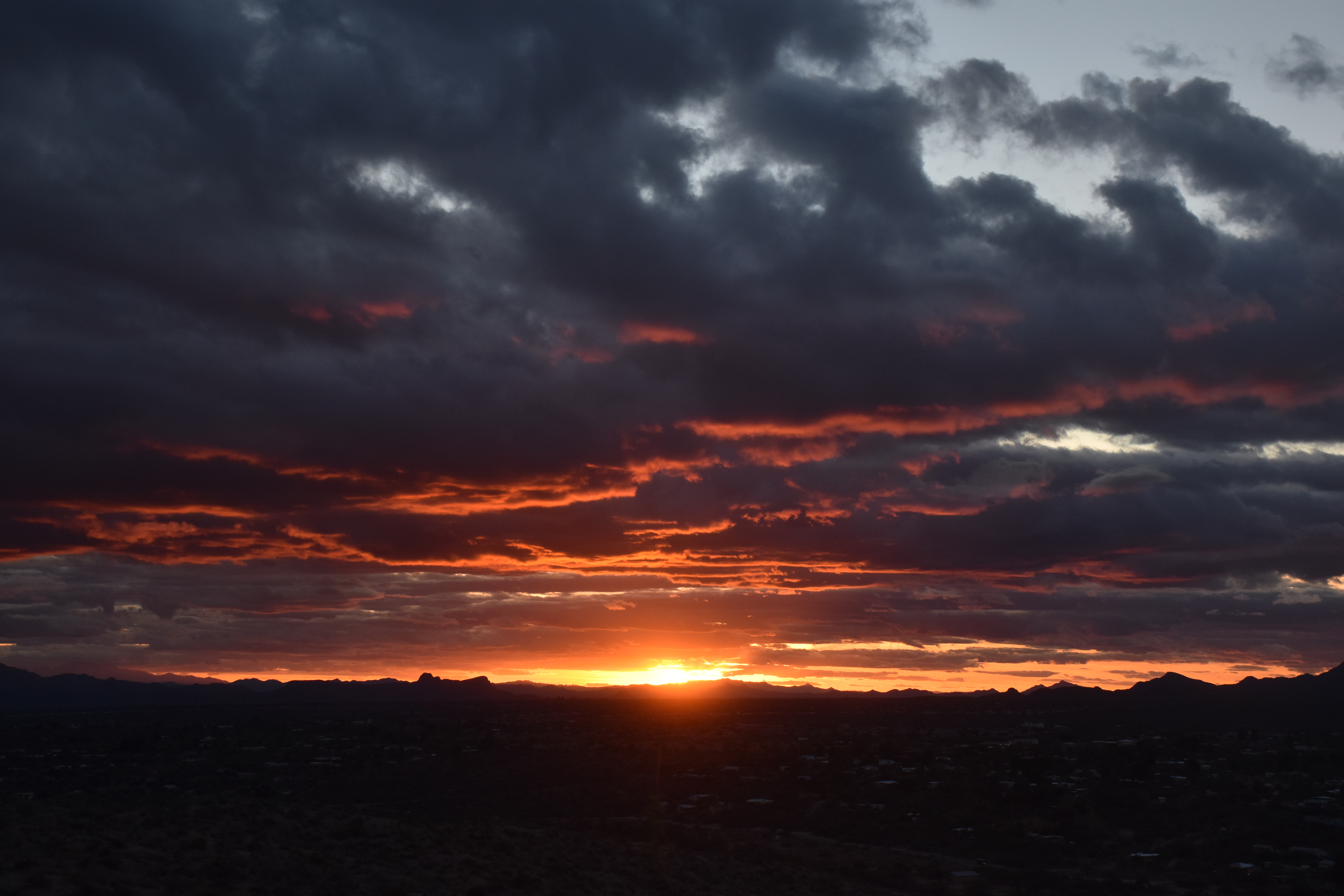
And then the great sunset of underlit Stratocumulus clouds…
5:46 PM. No words required.
Notice that in the afternoon shots, no virga or ice was seen in any cloud! What up with that? Well, of course, if you’ve been coming to this site, you will know its because the cloud tops have descended to something above -10° (14°F) or so where ice begins to form naturally in these parts on most days. (There are exceptions, such as when drizzle or rain drops form in clouds; then ice can form almost spontaneously and readily at temperatures higher than -10°C, and that may have happened as yesterday’s storm ended.)
But, in a further educational (?) diversion, here’s the TUS sounding launched from the U of AZ around 3:30 PM yesterday (goes up at about 1000 feet a minute, btw).
This demonstrates the fairly warm tops of clouds during the afternoon, ones showing no ice. I wanted to show this so I could be right about something after missing the rain forecast by a factor of three… In spite of all the clouds around, there were no echoes in practically the whole state of Arizona at this time! Pretty remarkable.
The weather ahead and beyond
Still looks like a regime change is in the works after our dry spell, one that ends around the 20th. At that time it still appears that winter will take on a more normal aspect; a few dry days followed by rain/snow threats, that is, not weeks of dry spells!
2One of the interesting things about me is that my favorite color has always been gray; even in grammar school when I crayola-ed gray skies instead of a blue one with the sun stuck on it somewhere like the other kids did.
By Art Rangno
Retiree from a group specializing in airborne measurements of clouds and aerosols at the University of Washington (Cloud and Aerosol Research Group). The projects in which I participated were in many countries; from the Arctic to Brazil, from the Marshall Islands to South Africa.
Yesterday’s clouds look a lot like the clouds I am seeing here-today. Unlike you, I have no love for the “colour” gray. I see it all too often up here! 🙁
Hah! I kind of felt the same way about gray after 32 years in Seattle, Roland. It was no longer so appealing. Here, that old fascination with such a boring color has been resuscitated. Hope more of it is coming!
a