About real clouds, weather, cloud seeding and science autobio life stories by WMO consolation prize-winning meteorologist, Art Rangno
Sutherland Heights rain: 0.97 inches and counting (as of 9:54 AM)! Thunder, too!
What an amazing and “productive” little rainband that was just after midnight! And more rain is likely with weaker bands just upwind here at 4 AM. Could we really approach an inch? Amazing. Didn’t seem possible in this small mind that we could amass that much. For a full regional rain table, go here to the ALERT gauge records.
Now, after this ends, a long dry spell has to be endured, at least until around the 20th of Jan, at which time we hope the troughs and rain threats at least, will begin to barge in every few days, namely, and pattern more typical of winter sets in.
Yesterday’s clouds
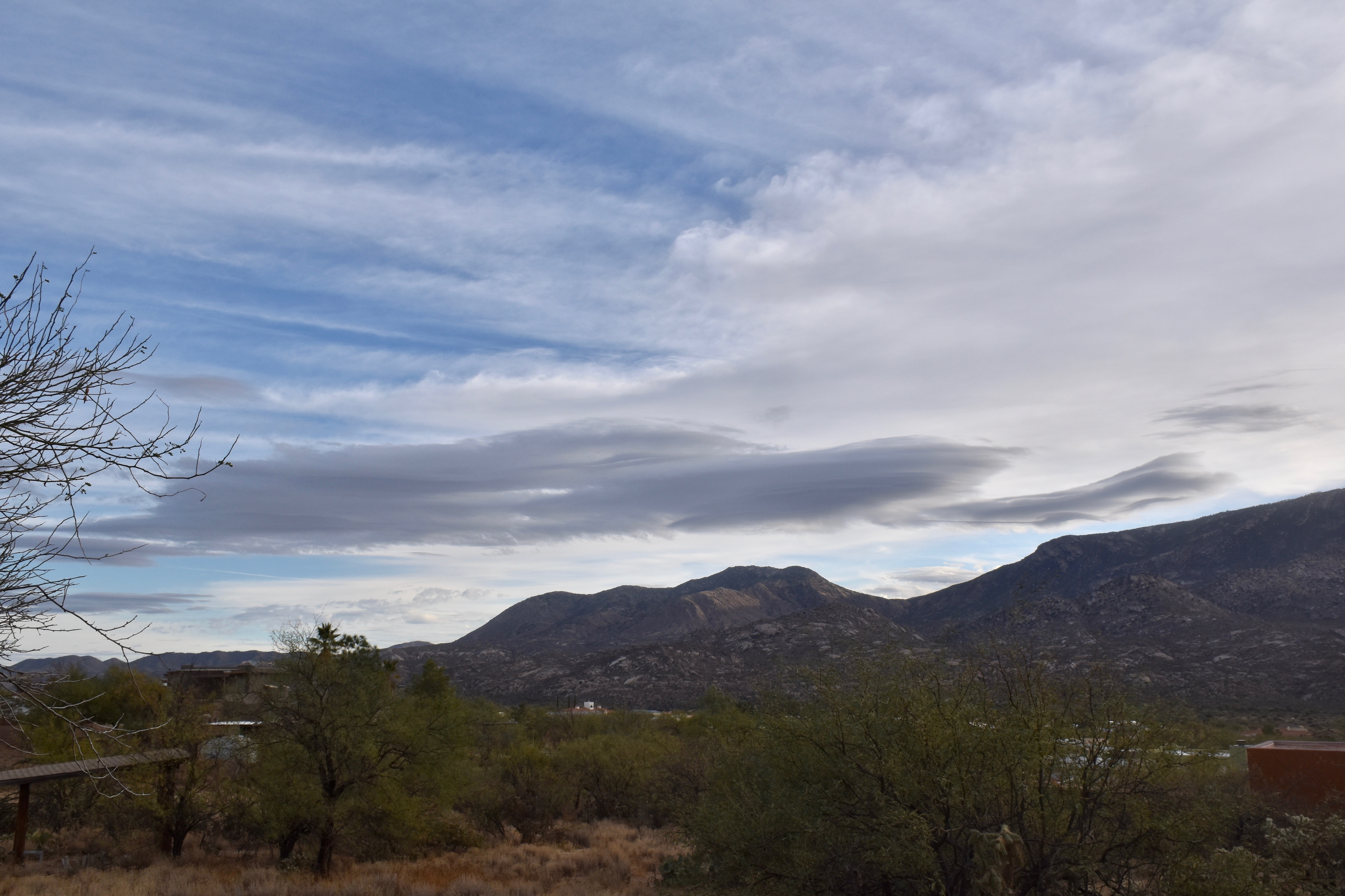
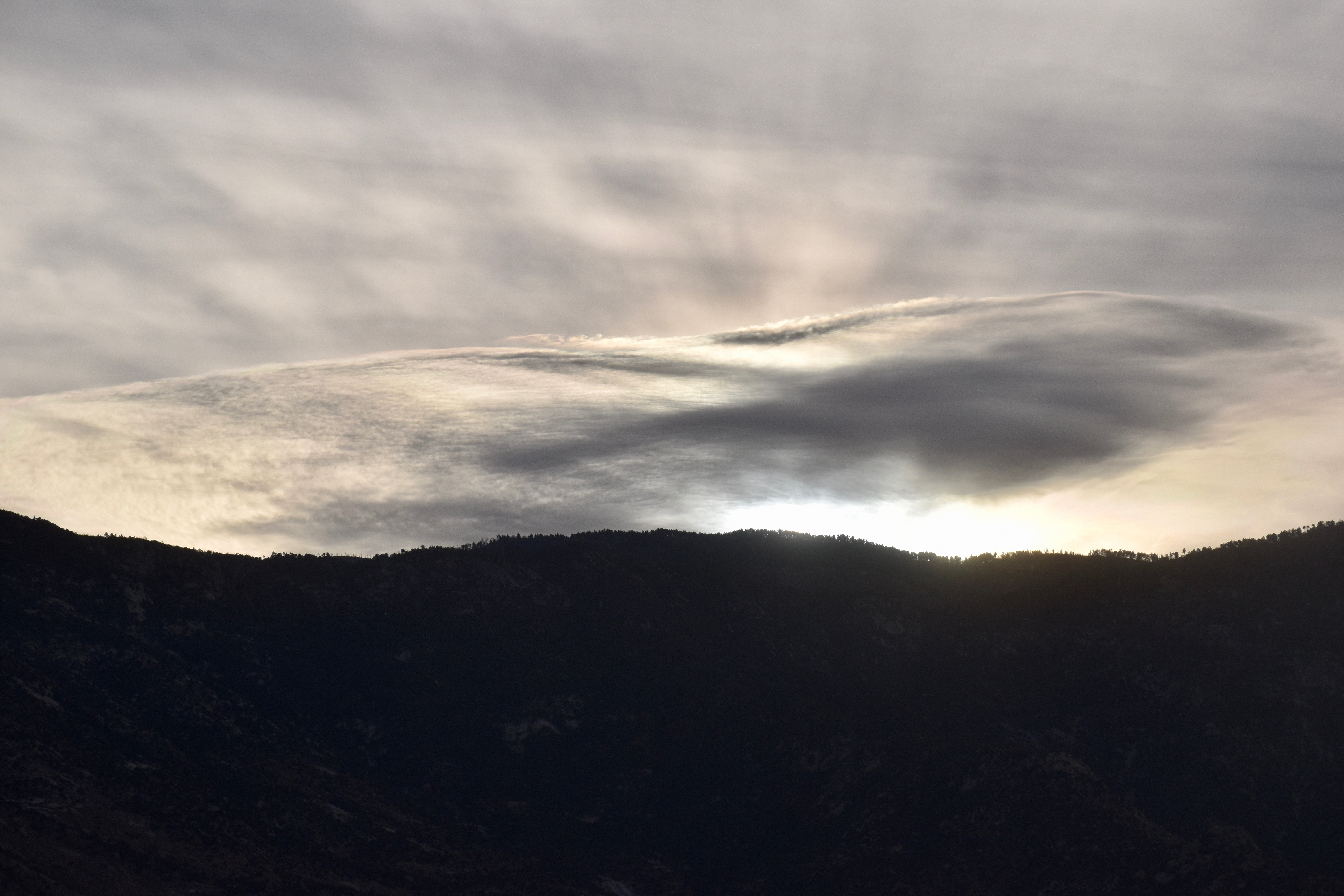
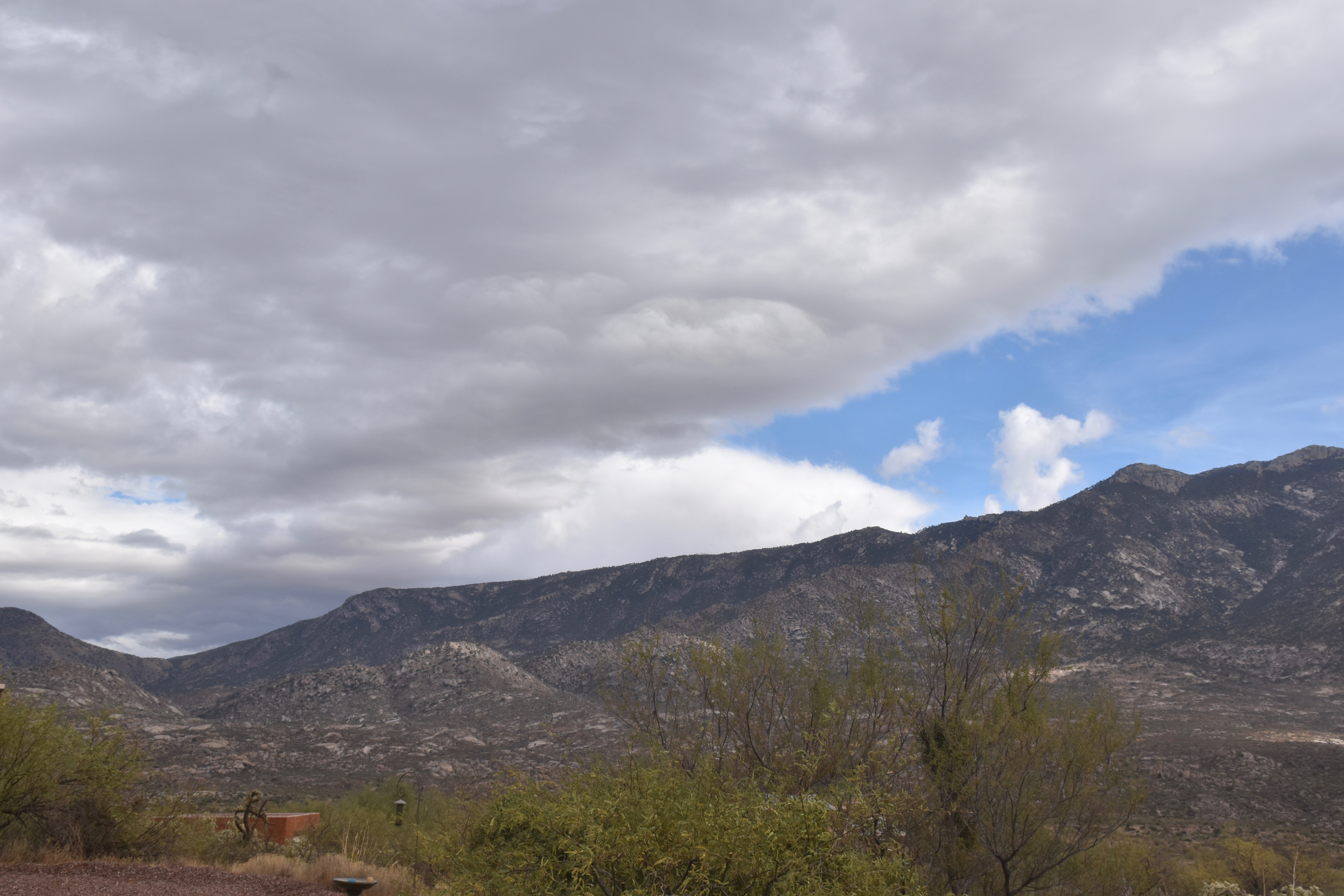
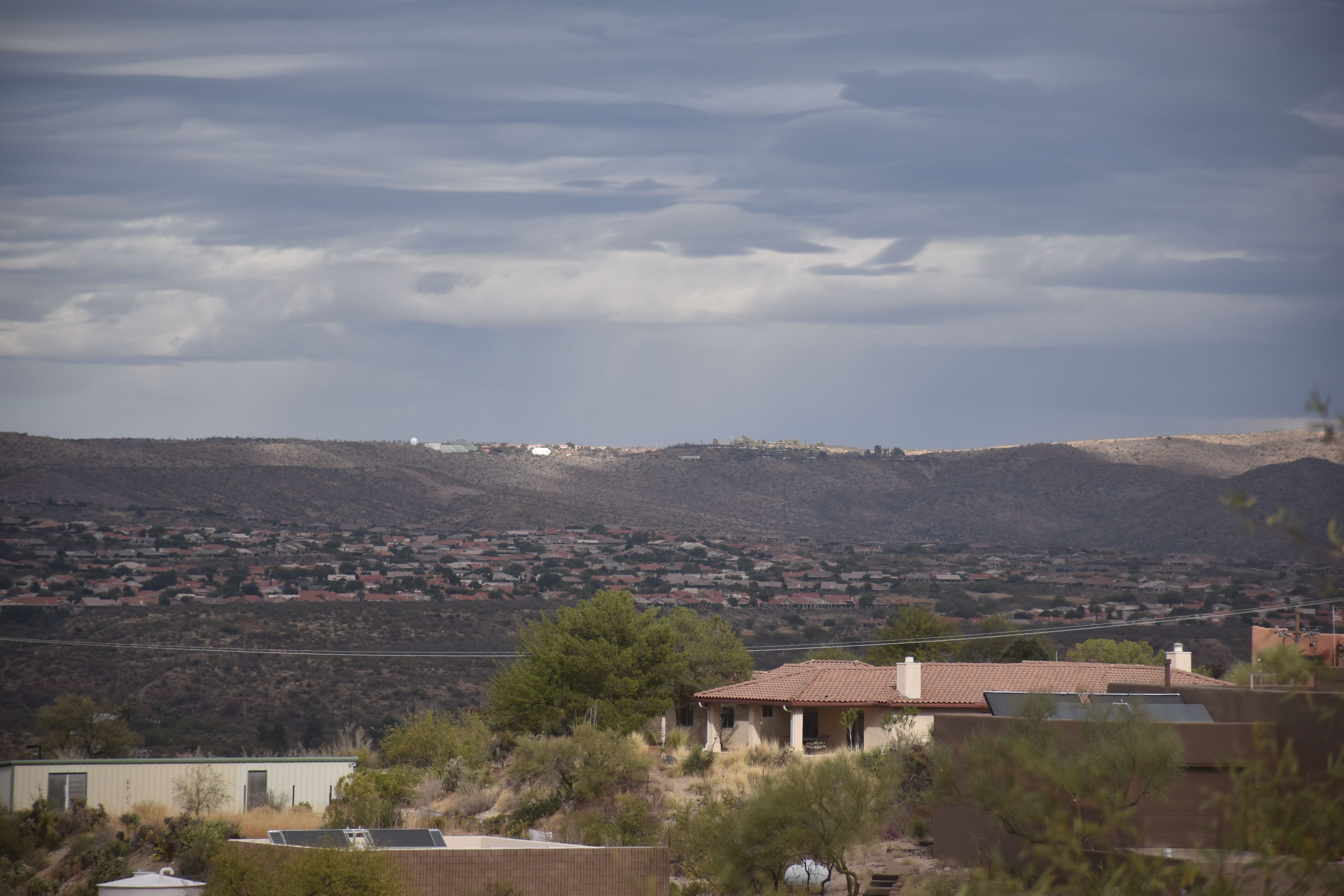
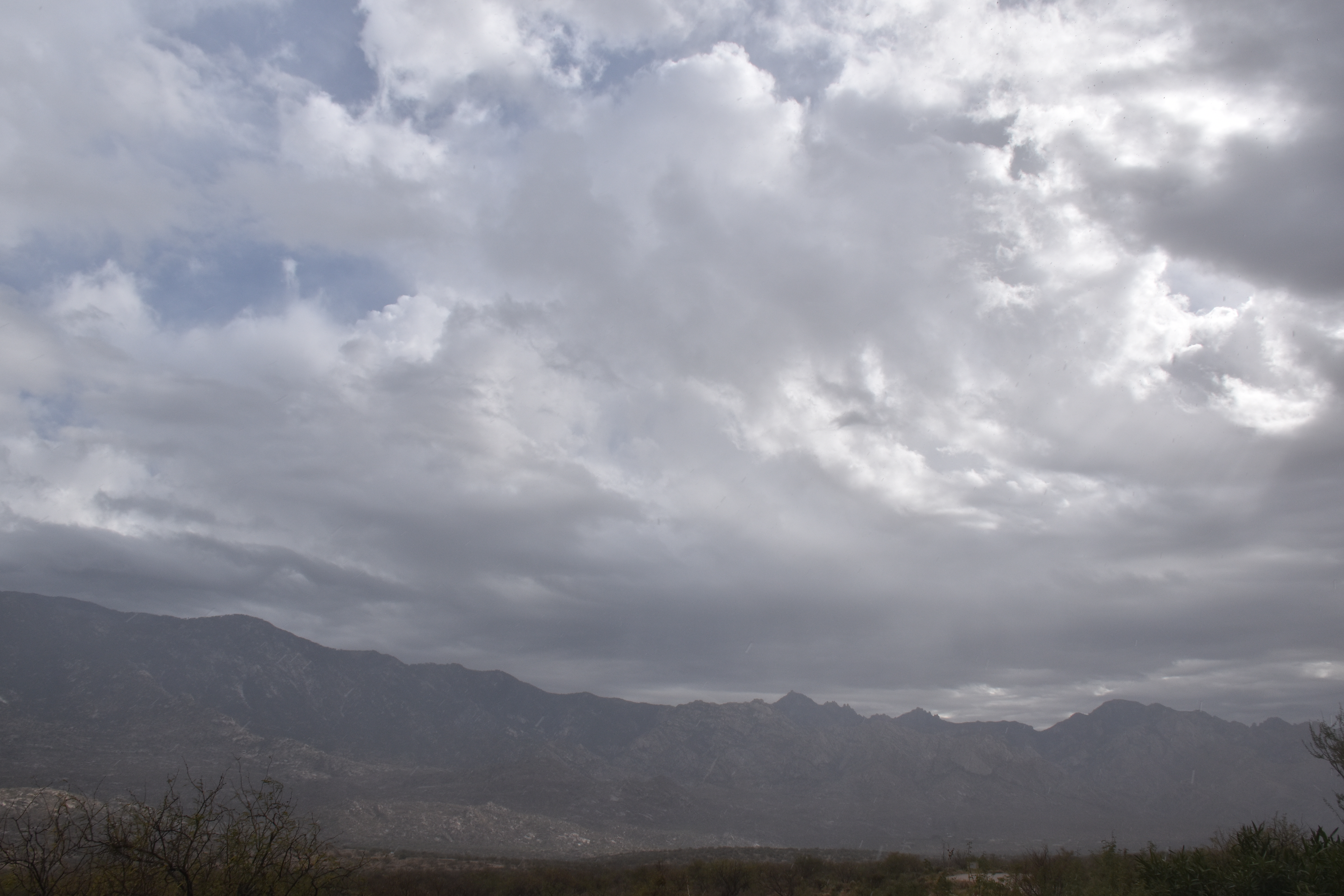
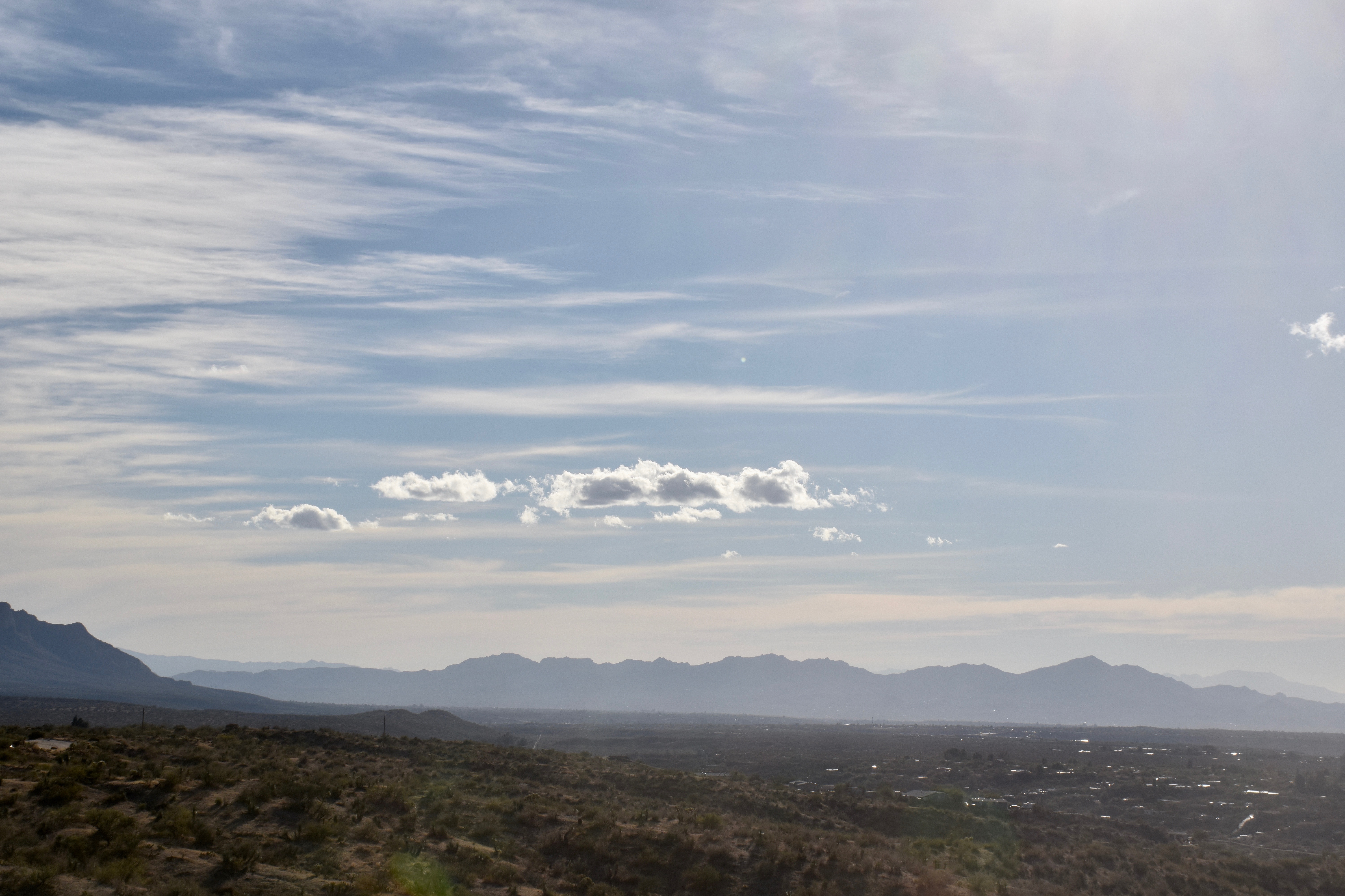
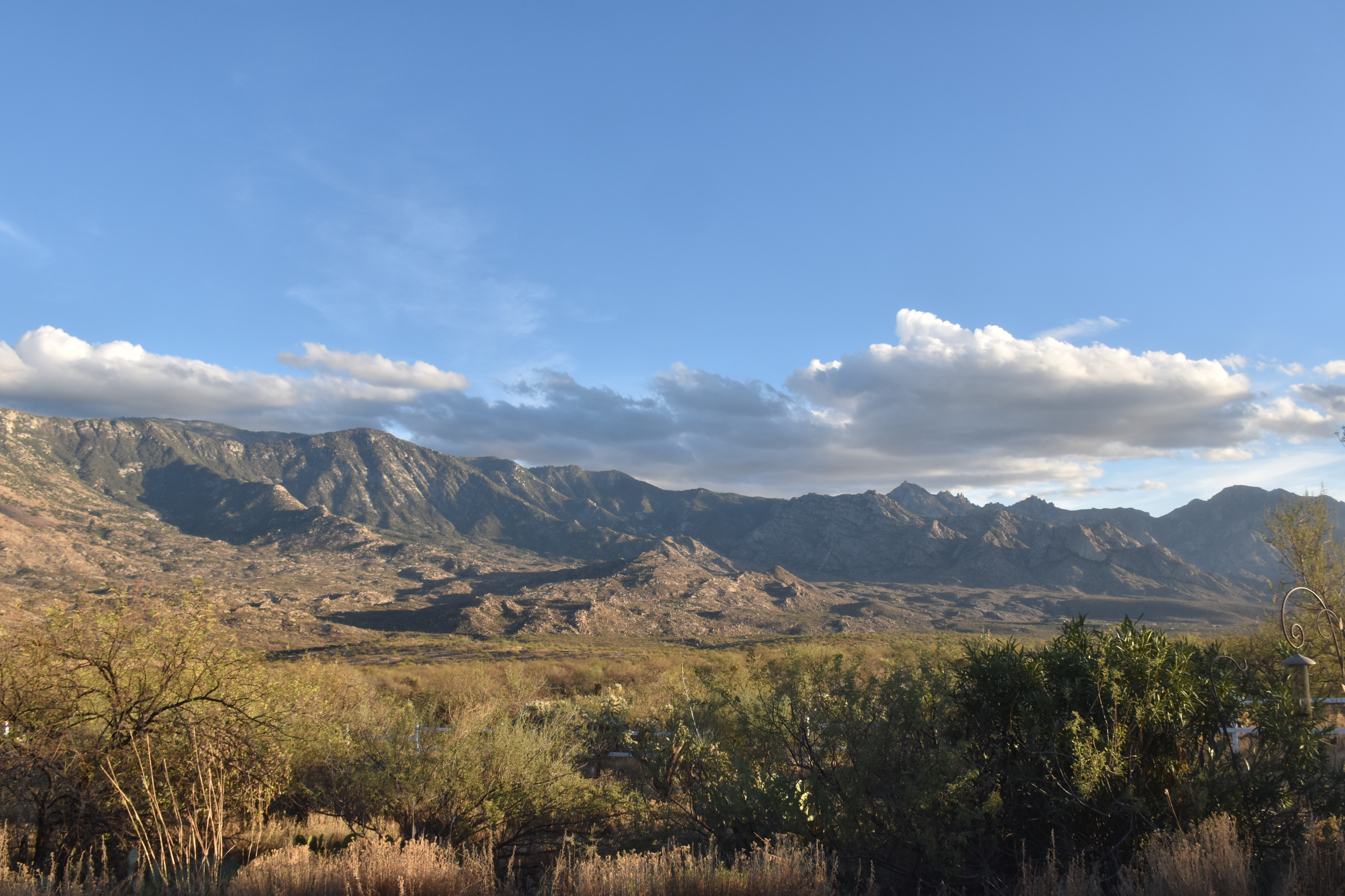
8:31 AM. Typically lenticular clouds form in the lee of the Catalinas as storms approach. Lenticular clouds are good signs of deteriorating weather ahead since they are usually accompanied by strong, moistening winds aloft.8:31 AM. Zoomed view of one lurking just beyond the crest of Ms. Mt. Sara Lemmon. The higher clouds were Cirrus (which can have grayness when the sun is low).10:24 AM. Wasn’t long before this deck of Stratocumulus raced over the sky, adding that feeling that rain is a comin’.11:32 AM. Some tendency to form the new supplementary cloud feature, termed, “asperatus undulatus” is shown here at the base of the Stratocumulus deck.1:13 PM. Got excited when ice began to show up, with virga and light rain showers here and there. Can you see that icy top receding from the Catalinas? It wasn’t that high and cold, either.1:14 PM. Nice highlighted view of Biosphere 2, with light rain showers in the background. Whodda guessed Bio2 would get 1.93 inches overnight? Not me!1:59 PM. Light rain showers began to fall from that Stratocumulus layer, now pocked with buildups (Stratocu castellanus?) as temperatures aloft above cloud top cooled. The haze is due to rain falling from overhead. It did not measure.1:59 PM. Looking upstream and the Stratocumulus deck whose tops were just ascending to the ice-producing level as they approached Catalina from the SSW. That clearing on the horizon maintained throughout this cloud and shower period suggesting it was caused soley by the lifting of the air as it approached the higher terrain of Catalina and the mountains. It was soon to disappear.3:02 PM. Falling apart.3:49 PM. Gone. Yes, once again, the clearing before the storm. A storm is approaching, 100% chance of rain within 10 h, and yet, the clouds are disappearing! This is a common here; a dry slot in the moisture field OFTEN precedes storms here. To some folks it may mislead them into thinking the storm’s a bust. But not to us CMP’s, who seen this happen over and over again.5:09 PM. Temperature’s in the low 70s; its getting to be a nicer day by the minute. Where’s that storm?5:43 PM. Our storm and cold front marches toward us from somewhere over the horizon, though visually you’d never know it. Wonder if the native Americans knew this odd sequence–probably.
The weather ahead
After the last drops fall today, we’ll suffer through another dry spell and warm up though about the 20th when a major trough passes by.
The End
Oops…. Have cameras ready for a great day of cloud shots once the sun breaks through.
Author: Art Rangno
Retiree from a group specializing in airborne measurements of clouds and aerosols at the University of Washington (Cloud and Aerosol Research Group). The projects in which I participated were in many countries; from the Arctic to Brazil, from the Marshall Islands to South Africa.
View all posts by Art Rangno