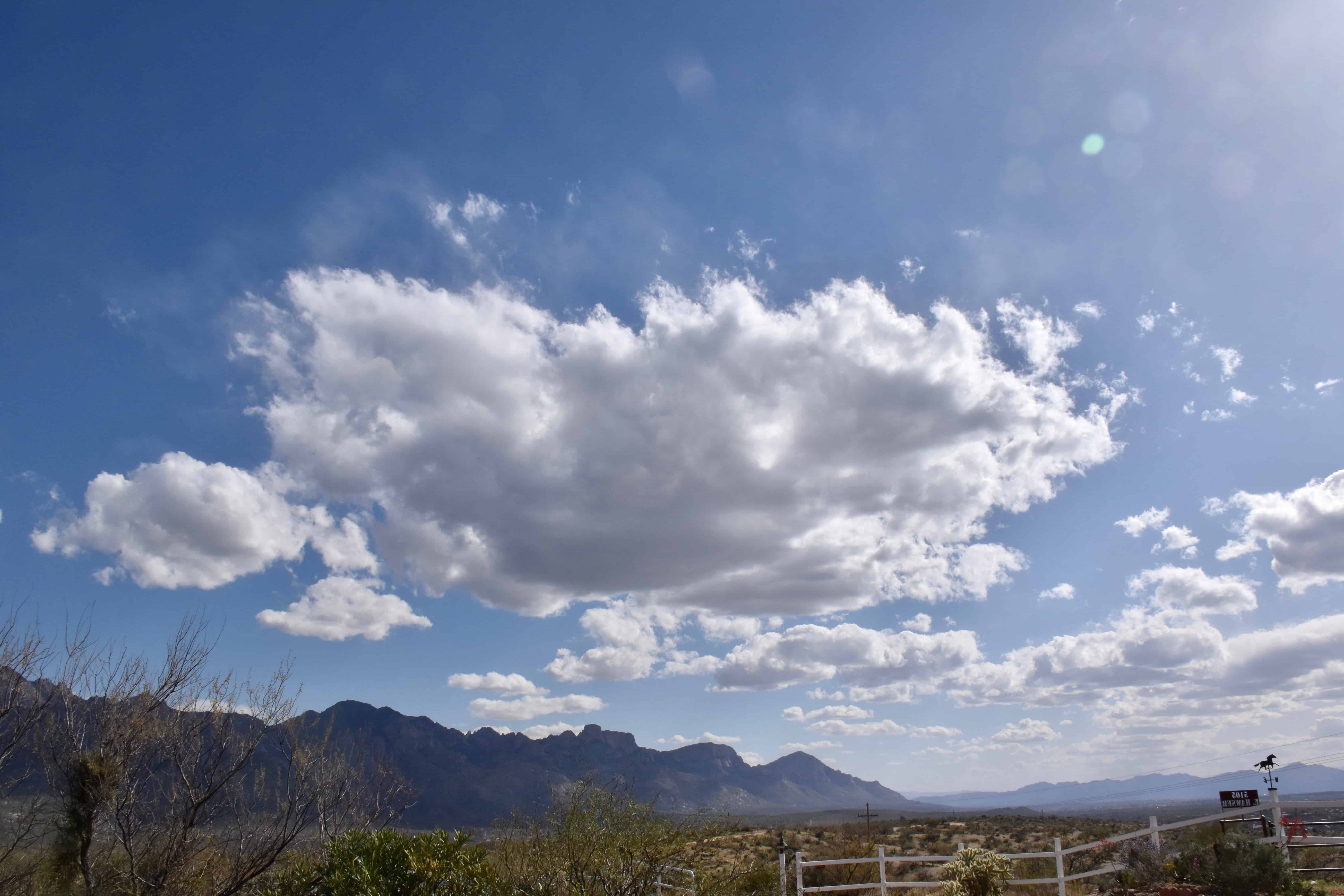
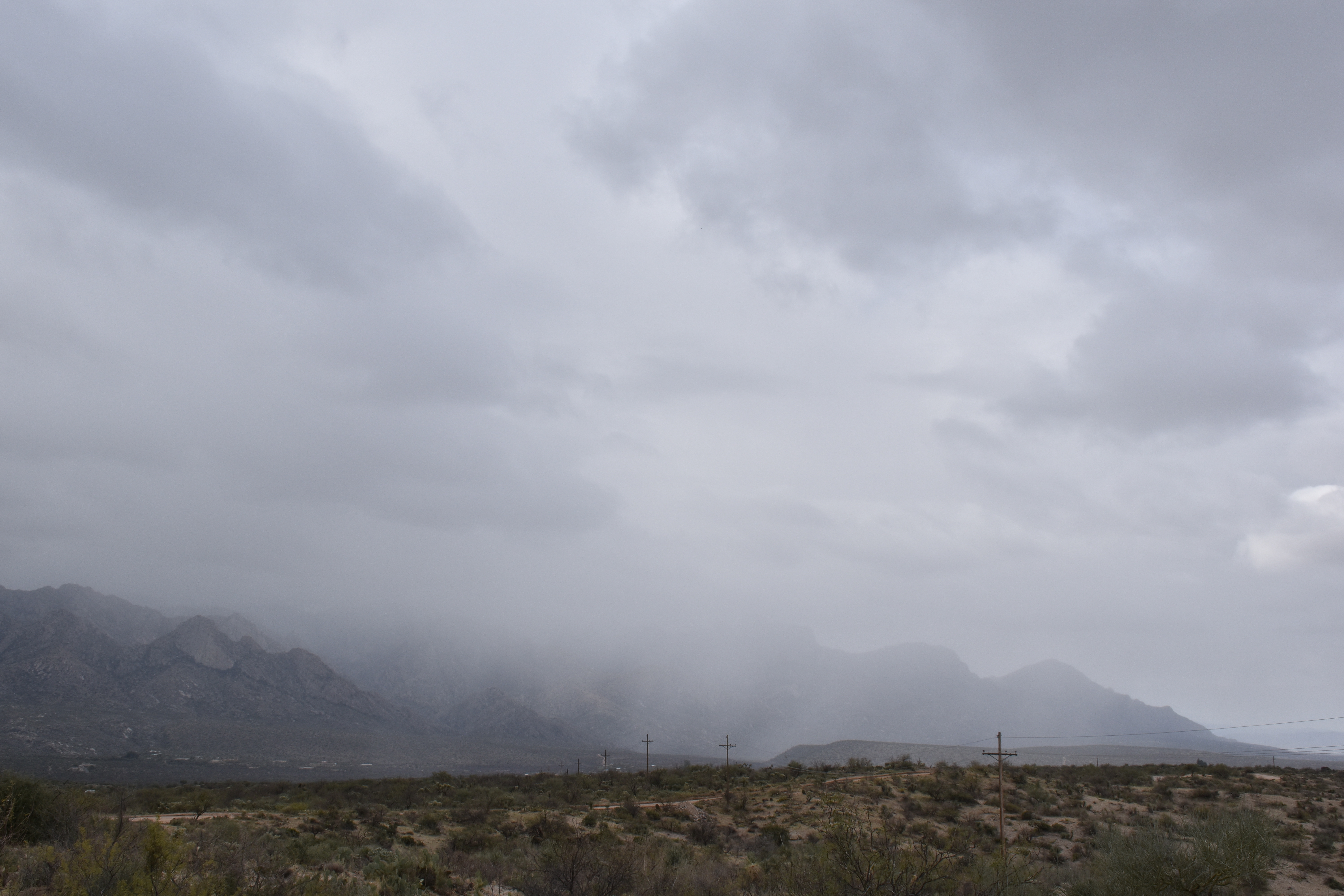
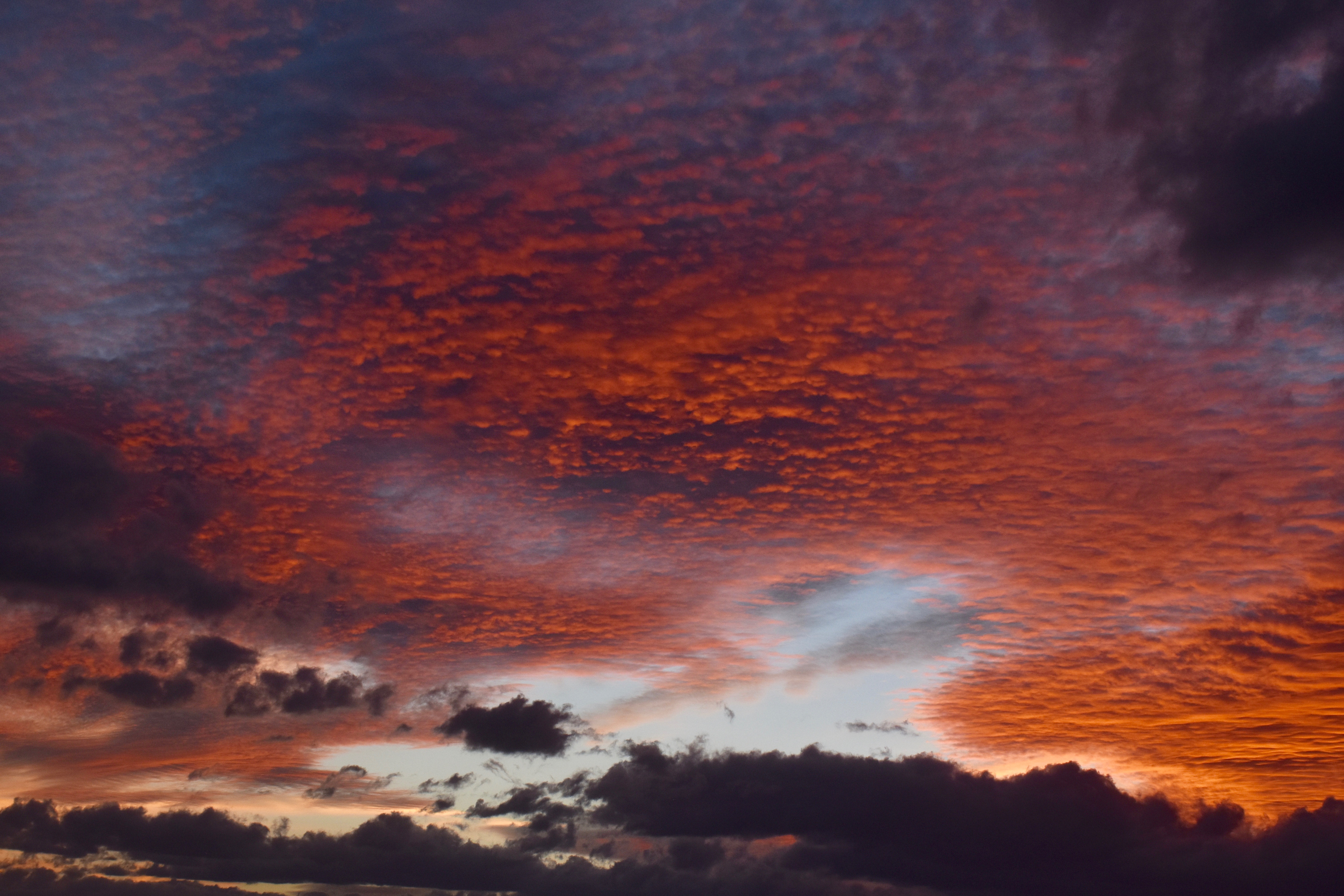
No NWS sounding from the U of AZ Weather Department yesterday afternoon, so’s we can’t really tell with solid data what the temperatures of yesterday’s frosty clouds were.
However, with a max here in the Heights of Sutherland of 71°F, and with a dry adiabatic lapse rate to the bottoms of the clouds (as is always the case on sunny afternoons with Cu), if we estimate how high the bottoms were with any accuracy we can get that bottom temperature.
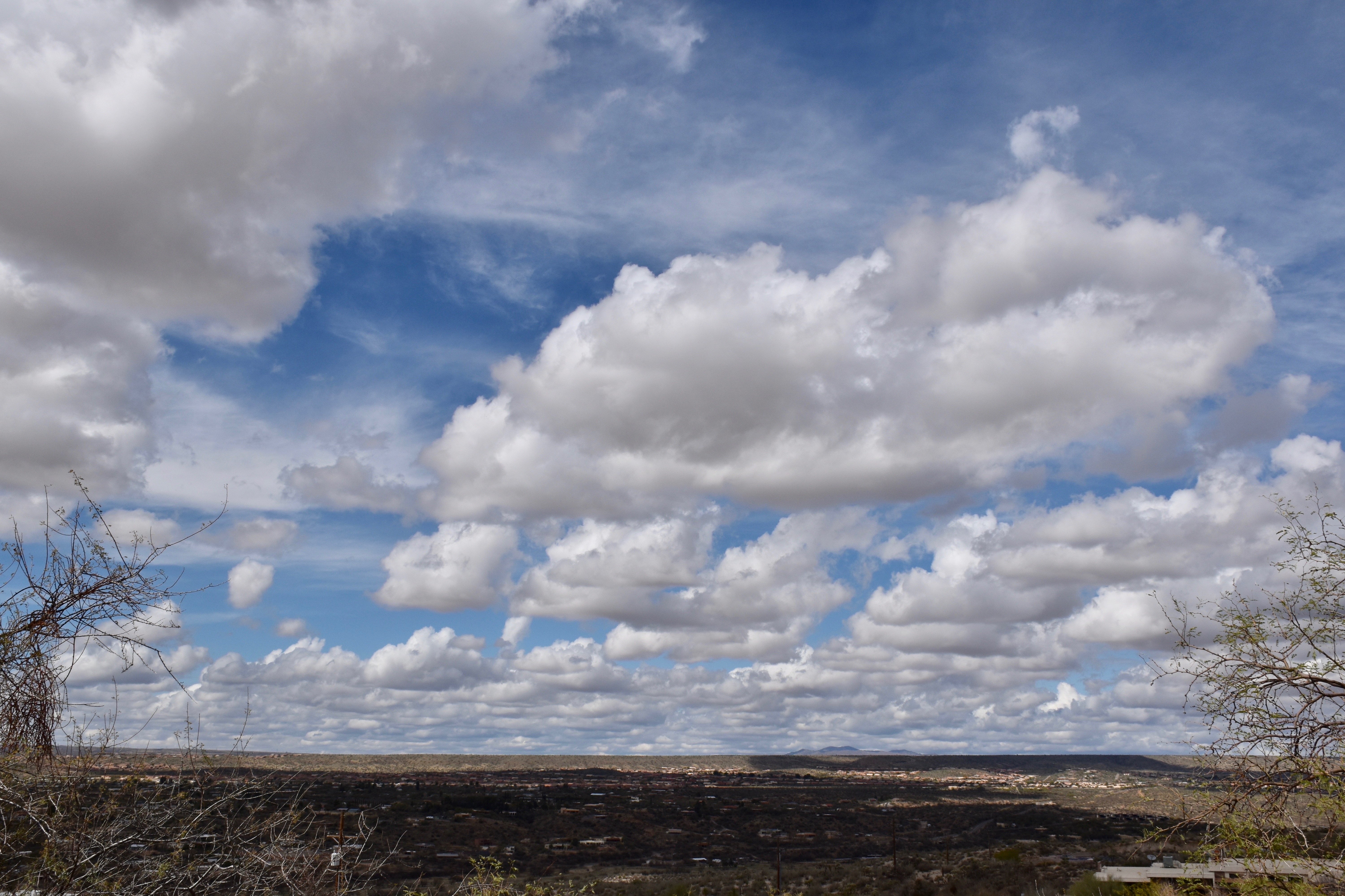
You already know as a well-developed cloud maven person that they were WELL below freezing which could see by noticing how far the snow virga extended below the bases of the Cumulus, at least 3,000 feet. and more from the larger clouds later on. So we have something,
Let’s say bases were at 14,000 feet above the ground over Catalinaland–they were way above Ms. Mt. Lemmon at 9,000 feet which you could probably tell. That would make the bases at about 16,000 to 17,000 feet above sea level in the free air, pretty darn high above us.
From a ground level of 3,000 feet, and with the dry adiabatic lapse rate of 5.4°F per 1000 feet, that would make the cloud bottoms a cold, cold, -2°F, or about -17° to -18°C! COLD! Then, tops, of clouds only 3,000 feet thick (about 1 km), would be -28° to -30°C (assuming a mix of the dry adiabatic rate with the “moist adiabatic” rate, given yesterday’s conditions, or about 4° per 1000 feet, “plus or minus.”
Addendum–corrections, hope nobody see’s ’em:
Later analysis and the next morning’s NWS sounding from the U of AZ suggests that bases were closer to -10°C because they were not as high as CMP estimated. Rather they were closer to 12,000 feet ASL. Tops would not be quite as cold, too, more like -25° C and colder in the deeper clouds, plenty cold enough for ice in even the small clouds, and for the long snow virga trails.
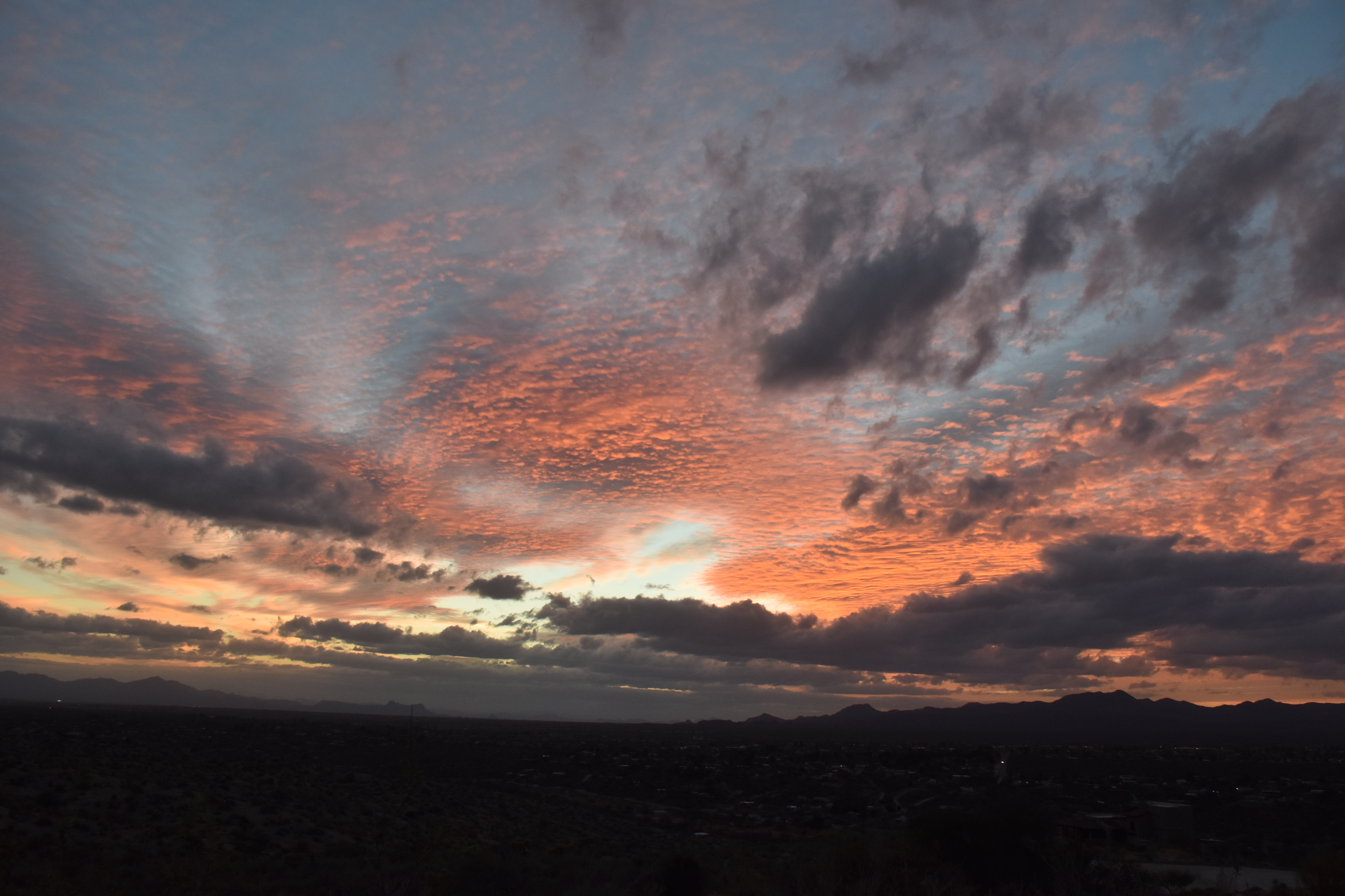
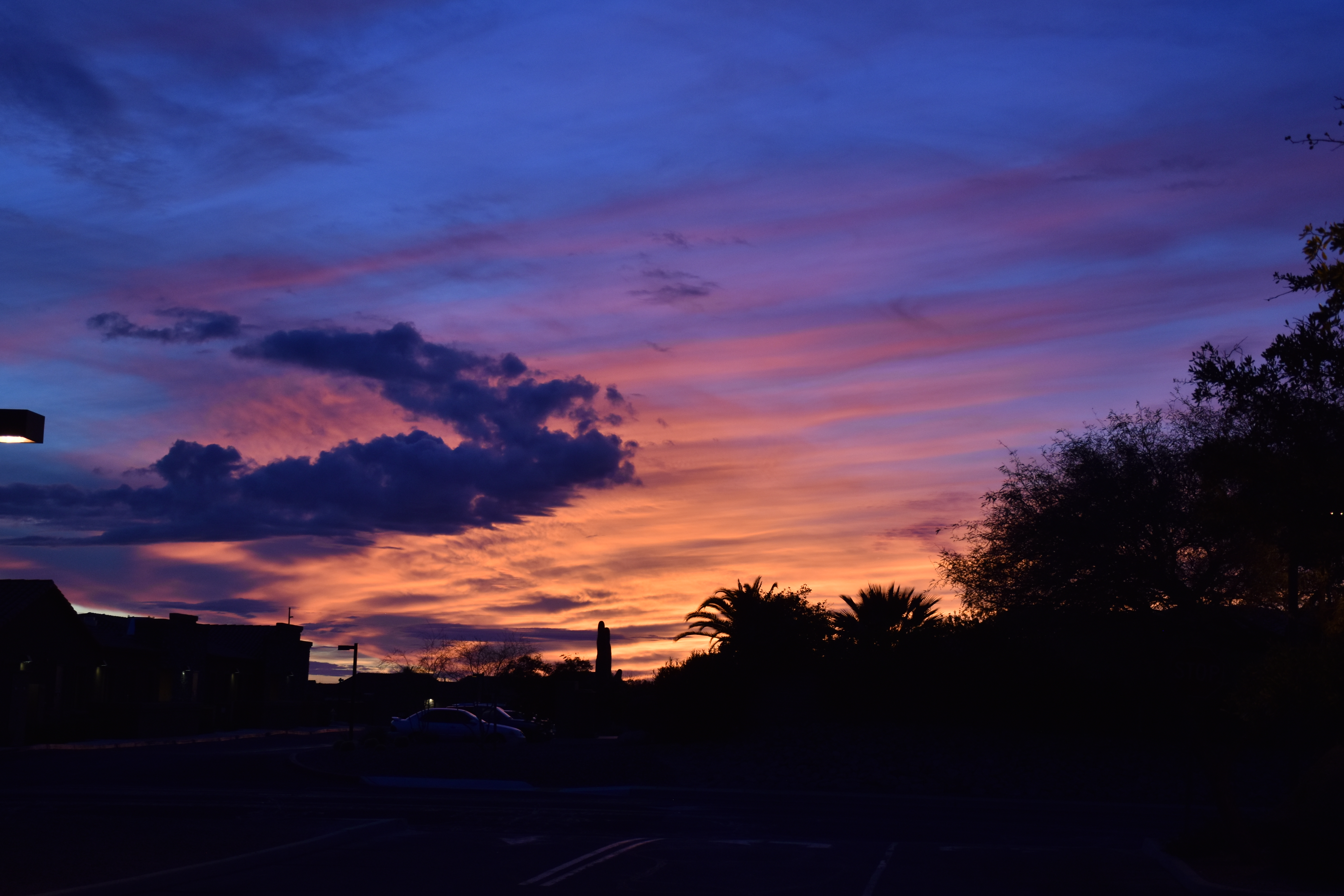
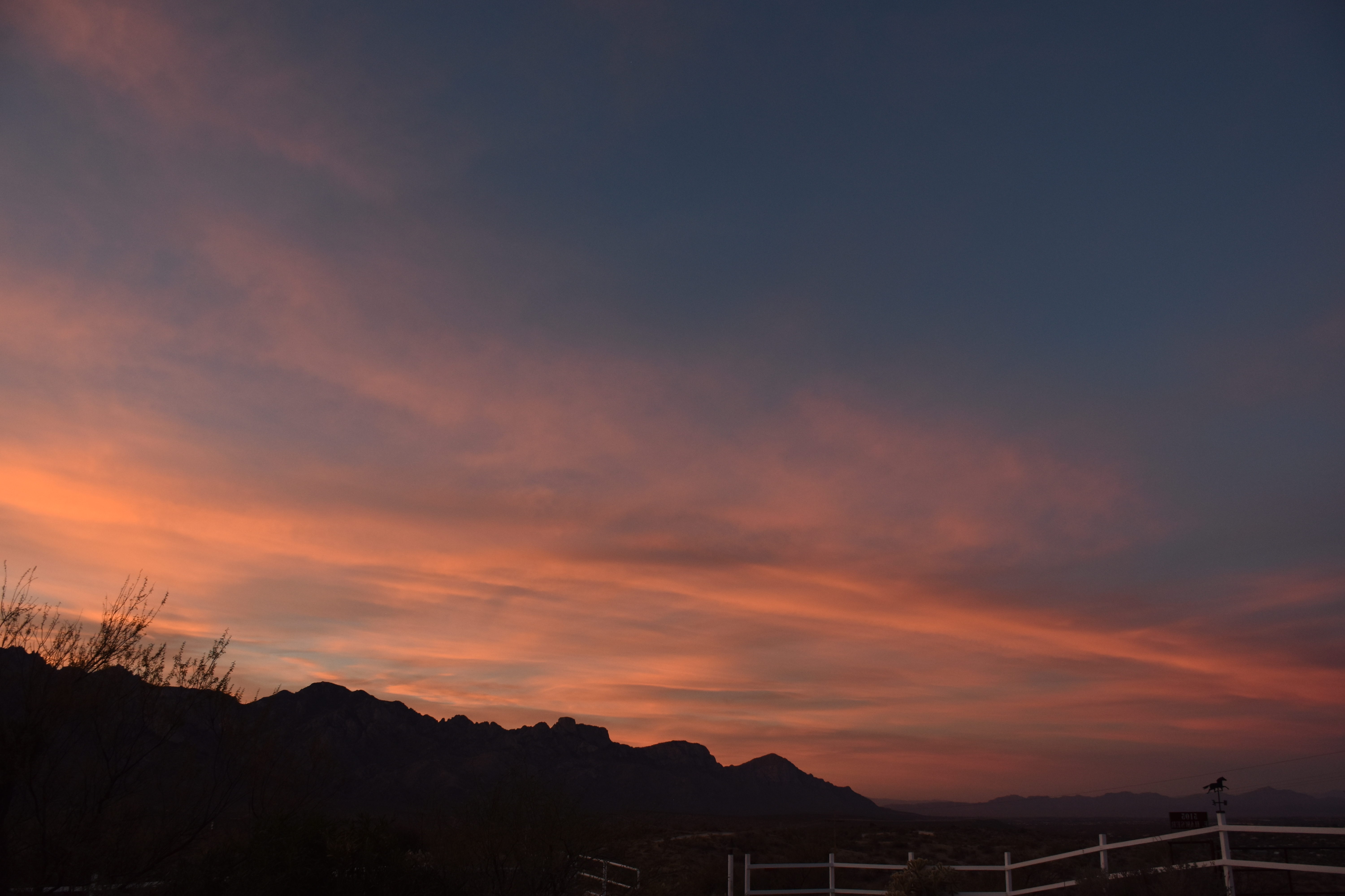
Below, some samples of Frosty the Cumulus (Cumuli, plural):
1:22 PM. Small Cumulus (humilis and fractus) begin to form.
3:40 PM. By mid-afternoon, the slightly fatter Cumulus clouds (mediocris) start showing ice crystals coming out the downwind side, which is what that bit of haze is above the cloud outline.3:41 PM. An ice haze is seen here, too, in the dissipating remnant of a humilis-sized Cu on the left edge, center.4:10 PM. Ice is appearing just about everywhere now as the air aloft cools a little more, and the Cumulus deepen upward some. The clouds are likely no deeper than about 3,000 feet or about 1 km. Tops, using the in-cloud lapse rate, typically a little less than the dry adiabatic rate, would be a frigid -27° C (-17°F) or so, which readily explains the ice-behaving nature of yesterday’s shallow Cumulus. Even deeper clouds formed later in the afternoon and evening hours. This image not left “blank” but has explanatory writing on it.5:23 PM. Raindrops from heavy virga were beginning to reach the ground in several areas as evening approached. Overnight, a few fell on Catalina! These Cumulus complexes were likely more than 2 km thick, 6600 feet) topping out at temperatures well below -30°C (-22° F)
Not much ahead now. Maybe a few more frosty Cu will form today… before things dry out and heat up.
No, this is not about Bonanza, the TEEVEE show, “Hoss”, or any of those ranching people, though that might be more interesting than a blog about clouds, gray ones. First of all, the word, “bonanza” would be capitalized (its not on my view of this edit, FYI) if this was a blog about it. Second, there was no “Bonanza” episode about Stratocumulus and drizzle, another clue.
Your cloud diary, for those of you still reading this blog:
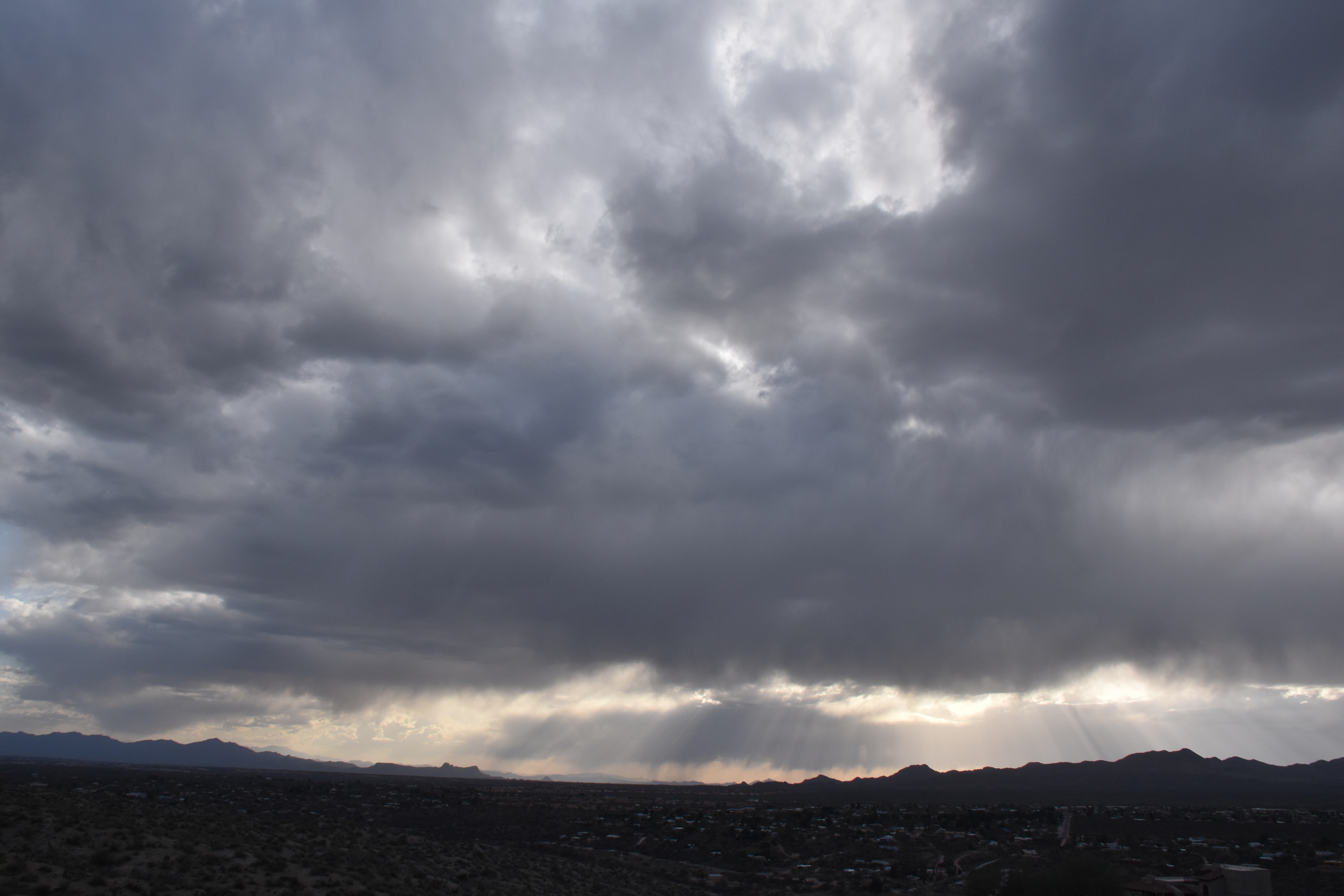
8:34 AM. An orographic layer of Stratocumulus tops Sam Ridge while a separate higher layer covering the whole sky sits on top of it. Neither one seem to be able to produce precip, ice or “warm rain”–precip without ice.8:34 AM. Stratocumulus. Light rain is falling from them on the horizon. What does it mean? Those clouds over there are just that bit thicker, tops higher and colder. Could be a warm rain (no ice involved) or a case of “ice multiplication”, a still continuing mystery in the cloud and precip domain where more ice forms in clouds than we can explain. Mostly occurs when the cloud top temperatures are higher than -14°C to about -4°C. Ice crystals can be in tremendous concentrations in such clouds but we don’t know quite why yet. So, models that forecast rain and snow, as good as they are today, could be that bit better if they could accurately the ice in clouds in that cloud top temperature range I just mentioned a few paragraphs ago. That’s probably the biggest payoff for really understanding how ice forms in clouds. At the University of Washington, me and Peter Hobbs were reporting that the consensus theory on how ice formed in clouds was not capable of explaining what we were finding in the clouds we sampled with our aircraft. There was too much ice in clouds, and it appeared too fast. We were on the outside looking in and our whole body of work was criticized as being wrong by two of the great professors of ice-formation in clouds, Alan Blyth and John Latham in 1998. They used our names in the title of the article, too, “the glaciation papers of Hobbs and Rangno.” I sent a copy to mom. This is what happens when you’re not part of a consensus, you eventually get criticized royally because no one believes you, they think without commenting about it that your work is bogus. At the same time, it was truly GREAT that Blyth and Latham took time to look into all of our work since we scientists don’t do enough of that kind of thing, look into the work of others we suspect might be wrong. But over the years, the concensus about how ice forms in clouds has weakened and new factors are being touted as important players like drizzle drops that fragment or explode when they freeze because at certain temperatures an ice shell develops on the outside of a freezing drop, and then when the water farther in freezes and tries to get out because it wants to expand, it breaks the ice shell, and maybe spicule or ice splinter comes out helping to produce extra ice we call secondary ice particles since they didn’t form on an “ice nuclei”, something we have a though time measuring anyway. Fragmenting drops as they freeze has been known about for decades, but now its being thought that maybe a lot fragments result, not just a few as was thought before. So those extra ice crystals end up creating concentrations of ice crystals we can’t quite explain in clouds here even in 2018, such as those ones over there that were raining north of Saddlebrooke to bring us full round in this photo. Caption too long? Let us not forget that this site originated the practice of novella-sized captions. I think many of you forget that a picture is worth a thousand words of caption, too. Here, we’ve only managed a few hundred.10:13 AM. Still raining way over there NE of Saddlebrooke and Bio2 if you look carefully, lower right. Can there be a better “classic” photo of Stratocumulus? I don’t think so. Cloud bases still running about the level of Sam Ridge, or about 3,500 to 4,000 feet above the ground.10:05 AM, maybe. Stratocumulus clouds spewing drizzle precip roared out of the west in a band, now enveloping the Catalinas toward Pusch Ridge. Drizzle is pretty rare in Arizona, so I hope you noted it in your diaries yesterday. Means the clouds overhead have low droplet concentrations, and the larger drops are greater than about 30 microns in diameter, which are those sizes that when they bump together they can coalesce into a much larger drop that collides with more and more drops to form ones that can fall out of the cloud instead of just hanging around up there not doing much. We call that process the “collision-coalesce” process of rain formation, or “warm rain” process, one that doesn’t involve ice. The formation of ice almost never results in drizzle, hence (is that still a word?), why CMP thinks it was a warm-rain process yesterday over there. Also, drizzle is often think enough to make it look like its a snow shaft, which is what we see over there, too. But we know the freezing level was really high yesterday, so it can’t be snow over there. Nor are the clouds Cumulonimbus ones that CAN produce dense shafts.
Well, let’s move ahead to sunnier conditions, those pretty scenes we see on the mountains when a storm begins to clear out.
12:27 PM. As the Stratocumulus broke up, you got a glimpse of the deeper clouds north of Oracle that had been, and likely were still raining. Estimating depth here at about 2 km, or 6600 feet. With bases at 4,000 feet above ground, that would put the tops at only around 11,000 feet, too warm for ice since it would barely be below freezing at that height. Will check now to see if that statement is true. Actually, the soundings from the U of AZ make it a little more ambiguous than what I was thinking about too warm for ice formation, and so there’s no point in showing those soundings where people might question what you just said.1:19 PM. So pretty. I am a lucky man to see scenes like this so often.1:29 PM. A cloud street with this fat boy formed off the Tortolita Mountains and it passed overhead of Catalina! I wondered if some big drops might fall out since it would be a Cumulus congestus if you could see it from the side, and with “warm rain” having fallen earlier, there was still a chance that the drops in this guy, toward the tops, would reach sizes where they coalesced into drops.1:29 PM. Nice. One of our photo niches is cloud bases, and here’s one of the best. Am waiting outside for big drops, not Godot. Can’t go inside because they might only fall for a few seconds or minutes, it surely won’t be shaft. And what if no rain had fallen earlier? I might need to report a trace.1:41 PM. It wasn’t too much longer the drops began to fall, finally thinking to get a photo in case no one believed me that rain had fallen from that cloud.2:11 PM. Cumulus humilis and Cu fractus are all that remain of the gray skies of morning.3:59 PM. Just enjoy.6:37 PM. The sun, completing its weary journey around the earth, finally goes down.
The End
PS: The agonizing delay from typing then seeing words appear 5-10 s after you stopped typing, disappeared when I jettisoned Firefox for Safari. So, all these months of agony, were due to a Firefox bug, not a WordPress or GoDaddy hosting service problem. Unbelievable. This problem I think began when I downloaded the latest version of Firefox, which also came loaded with pop up ads and web site diversions it previously was free of. Dummy me never connected it to the venerable Firefox web browser. So, Firefox has been trashed from this computer!
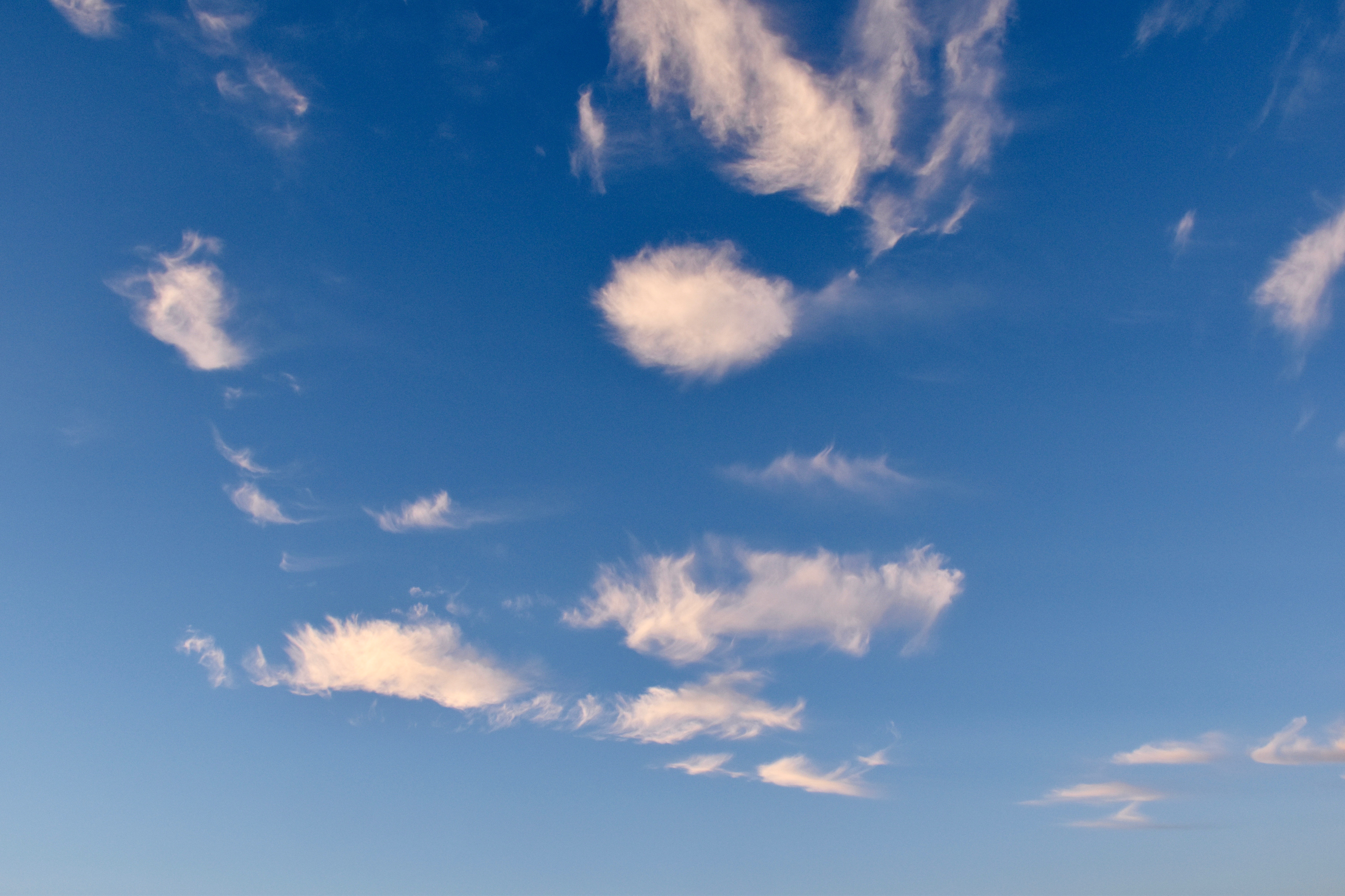
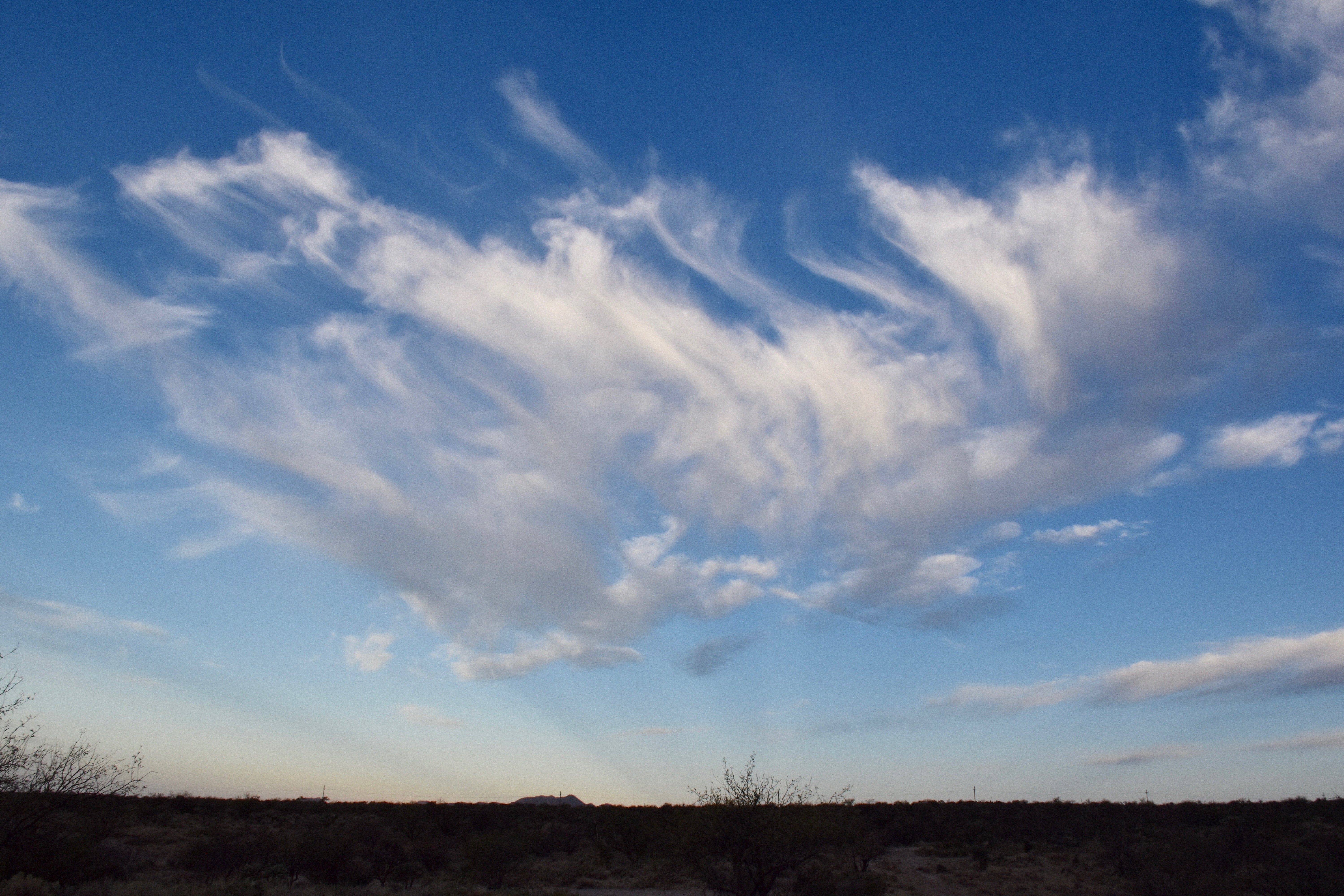
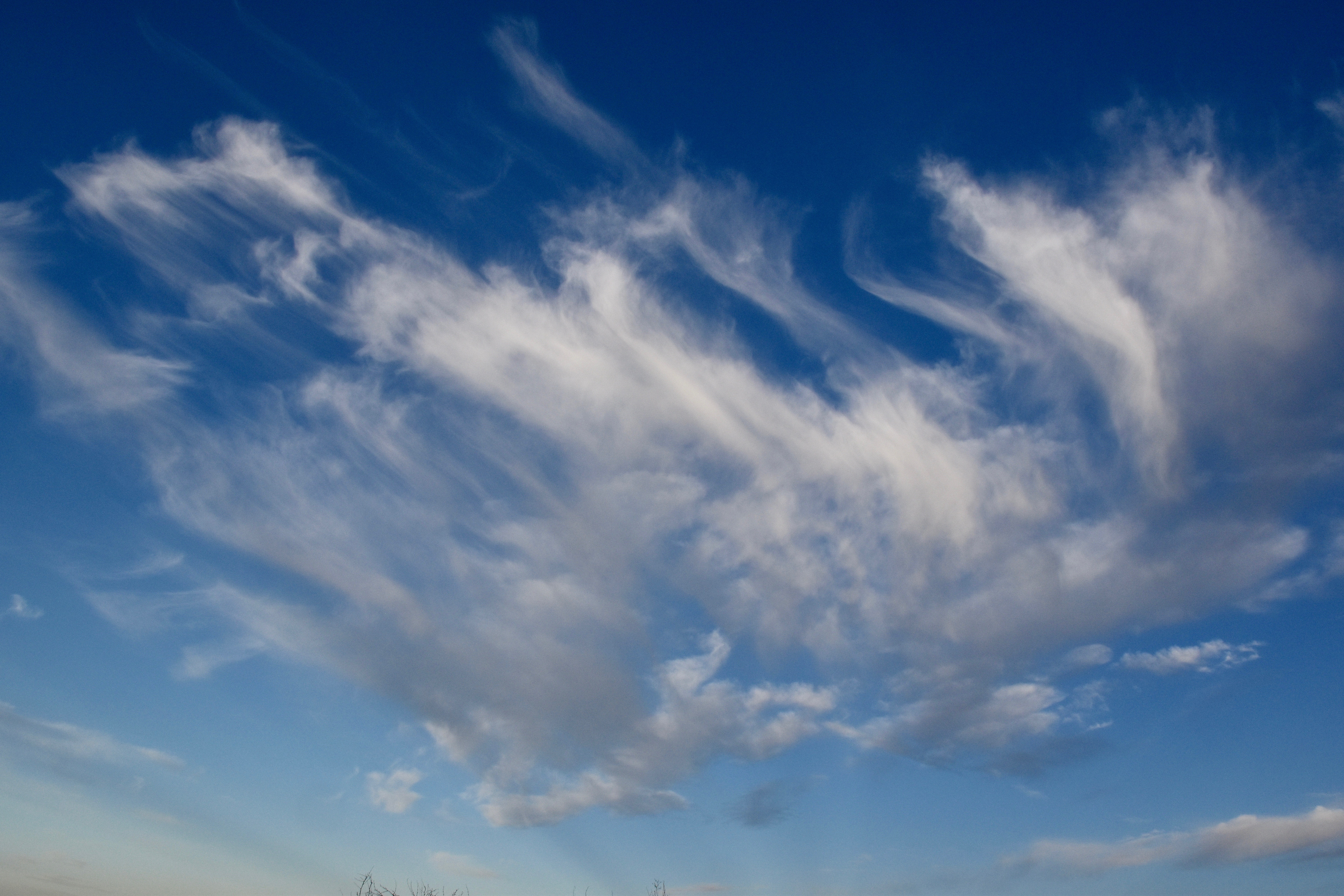
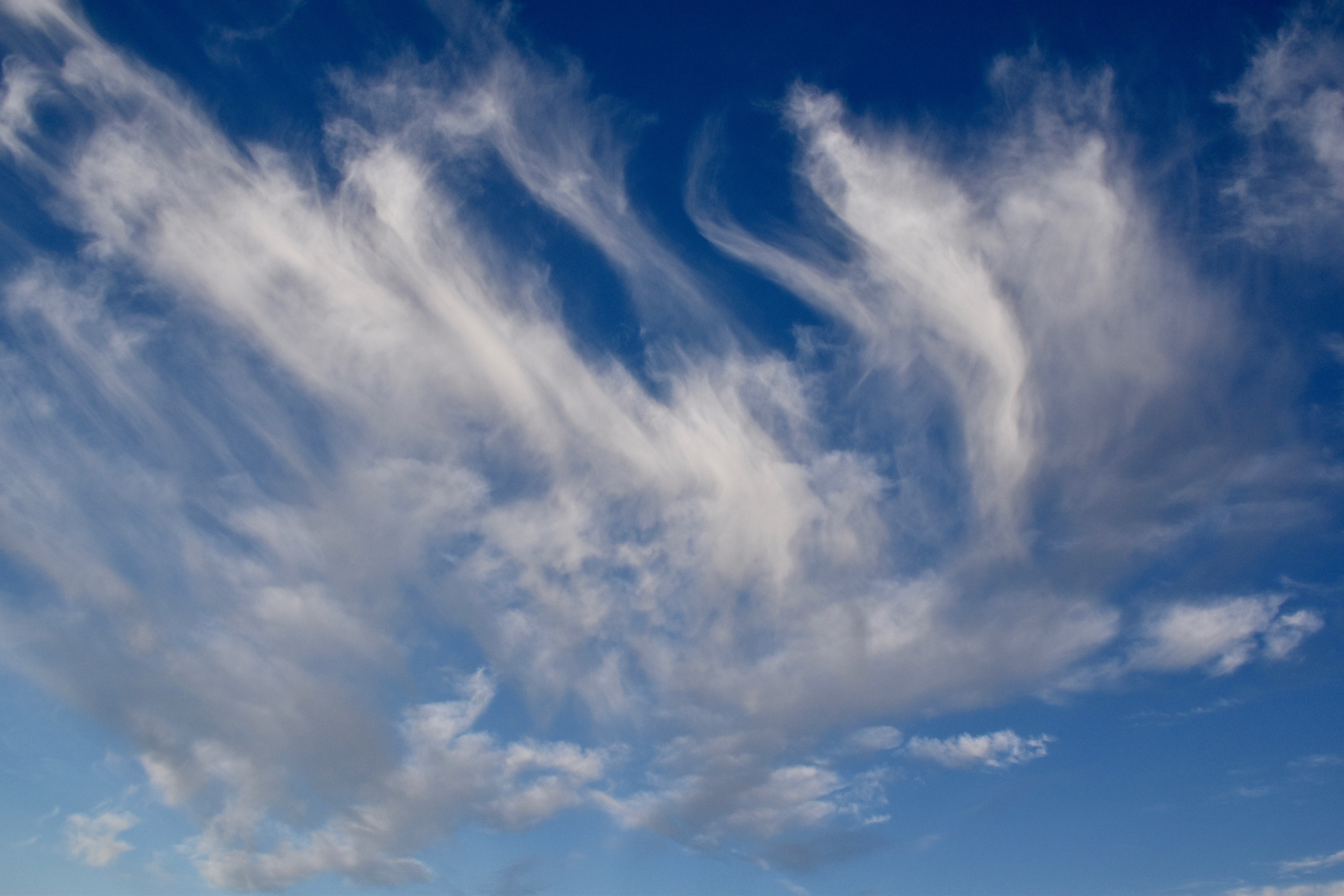
We often have phony dramatizations suggested by titles with exclamation marks, and frankly, today is no exception. I do like Cirrus, though. Hope you do, too.
Why like Cirrus1?
They provide a lot of nice sunrises and sunsets. EOM.
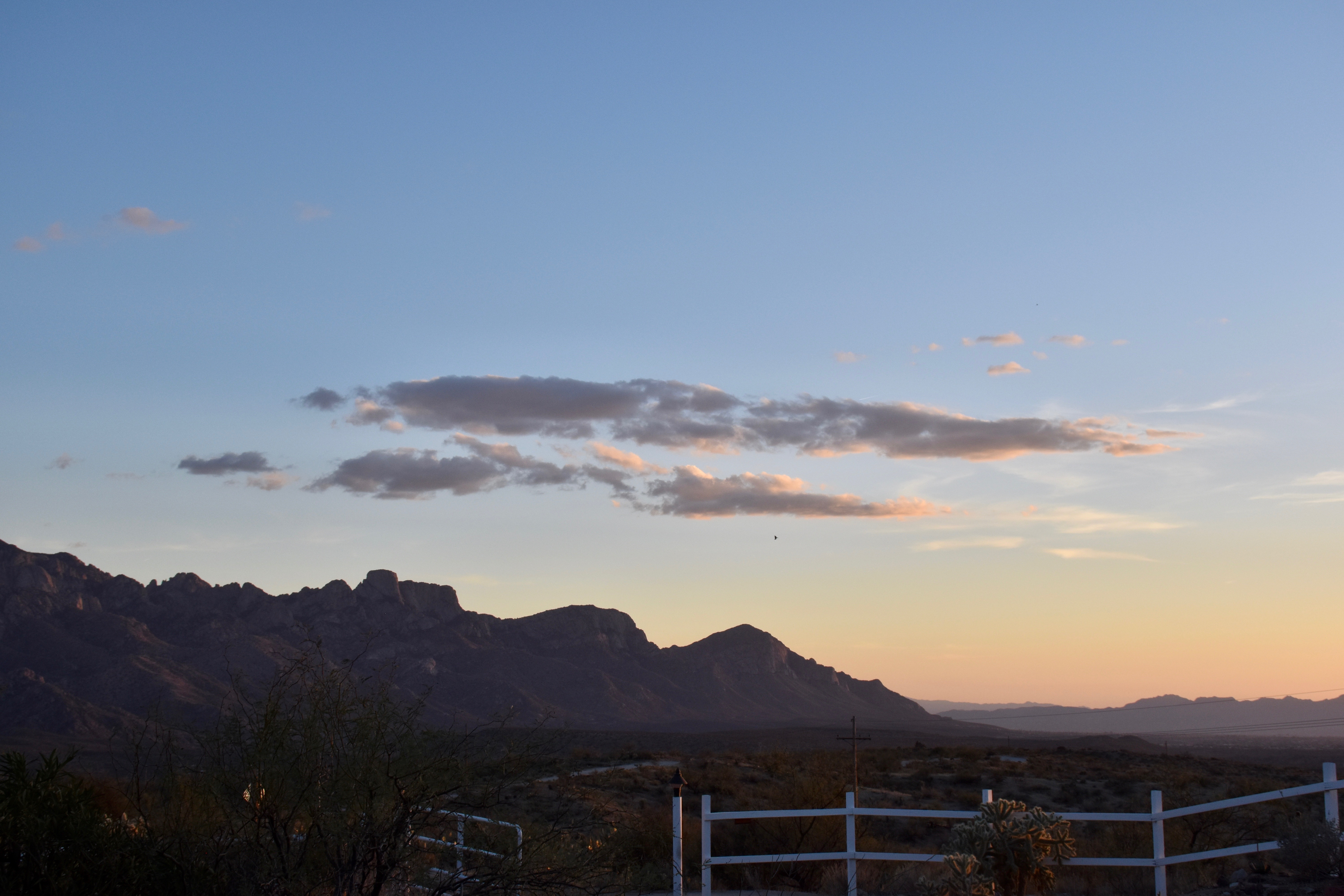
Example of a recent CIrrus sunset, FYI.An example of a recent display of Cirrus at sunrise.
Yesterday’s displays of Cirrus, ending with a scruff of Cumulus toward Pusch Ridge:
7:29 AM. Cirrus castellanus, or what we sometimes call, “Altocumulocirrus” because it looks so much like just Altocu.
As here, just to reinforce that assertion a bit. Its a link to a recent blog by my cloud-obsessed friend and author, Maria Mudd Ruth. I strongly recommend buying a few of her books. Really, I do!
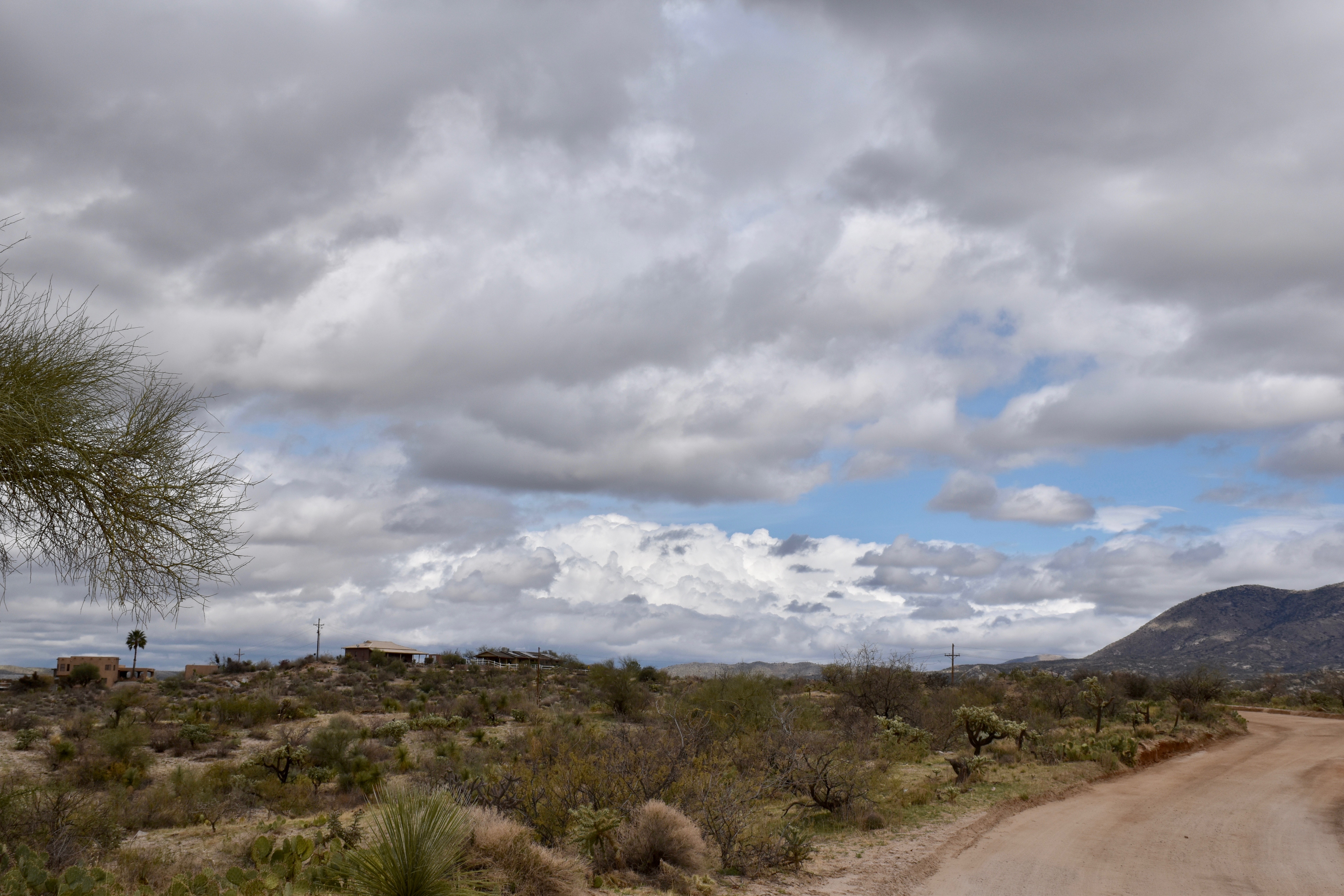
But in viewing our deep blue skies, pocked with little fluffy Cumulus clouds over the past two or three days, you would not need convincing that even tiny clouds are beguiling, a wonderful attribute for a planet to have. Having mountains on a planet is great, too, and watching the interplay of clouds and their shadows on them is a never ending pleasure. We’re pretty lucky when you think about it to be on a planet like this one. Hope you think so, too.
No rain ahead, glumly, though some sprinkles are out there this morning as frontal cloud band passes over. Just a little too high off the ground for real rain. And the cloud tops aren’t quite cold enough to form much ice, too. Those cloud tops get colder going to the NE, and so higher terrain up thataway (e.g., Show Low) are getting some light rain this morning. Right now, there’s a little sprinkle just beyond Romero Canyon, so we got a little ice this morning in them clouds.
What was interesting is that I never saw no ice yesterday, to continue the slang of rock and roll, in another cheap attempt to reach out to another demographic. The clouds were just a bit too warm for ice-formation, tops running in the -4°C to -5°C range according to yesterday afternoon’s Banner University of Arizona’s balloon sounding. Some may have bulged up to nearly -10°C, but still not quite there. I looked constantly for signs of ice and never saw none, and neither did you, of course.
The U of AZ balloon sounding for yesterday afternoon, released about 3:30 PM AST, courtesy of MeteoStar., I hope.
Bases were cool, at about 4°C, at 11, 000 feet above sea level, or 8,000 feet above Catalina. Tops, about 15,000 feet above sea level. So, they were running around 3,000-4,000 feet thick with no ice. This was a situation where dropping dry ice into those clouds would have created snowfall, then sprinkles, that would not have fallen naturally. Doubtful anything would have reached the ground anywhere near our elevation, however, but up at Ms. Mt. Lemmon, something would have likely even measured from doing that far enough upwind.
In summary, yes, there are some fairly rare times you can get some precip out of clouds by seeding them and yesterday was one of them1.
Today the clouds are thicker, drop sizes therefore larger in those tops of a cloud band similar to the one we had yesterday evening. As drop sizes increase, the temperature at which they freeze also increases. Well, at least that’s what we found over and over again at the U of Washington.
The balloon sounding launched about 3:30 AM this morning from the U of AZ. Our cloud band is almost twice as thick as it was yesterday afternoon as bases lowered and tops went up some. The sounding, too, went right up into the middle of that band, now exiting the area.
The result, some ice has formed even though they’re hardly colder than just -9°C or -10°C (14°F). Check the radar:
From Wundermaps, 6:219 AM.
Here are some cloud shots from the past couple of days. Should be some more great scenes today:
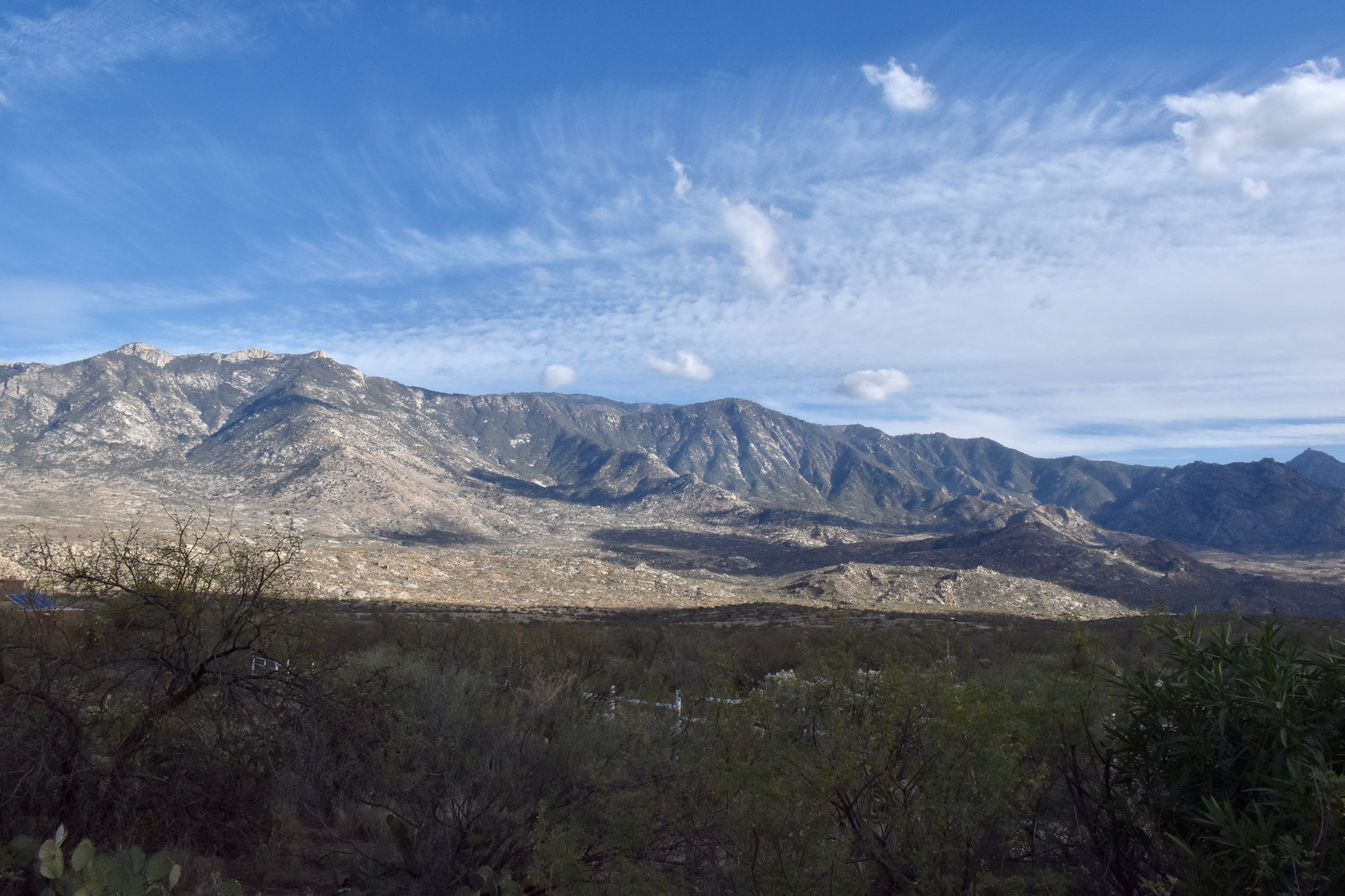
The last summer Cumulonimbus harrah. Goodbye sweet summer thunderstorms. 🙁 See you next year.10:37 AM September 19th. A field of Cumulus fractus, those shred clouds from which even might oaks can form. Not this day, though.10:58 AM, September 19th still, way back there still. Hope you remember this scene. We now have a Cumulus mediocris. Work hard in life, try not to be “medocris” if you can.12:44 PM. Got pretty cloudy that day for a few minutes, then cleared off.3:10 PM. After it cleared off and the clouds went small again, we had some nice shadow effects on our mountains.
Due to time constraints, we now move ahead in the action. Well, its not really “action” is it?
Well, not that much, just a day ahead….
4:02 PM, September 20th. Oh, so pretty Cumulus humilis against that deep blue sky. Thanks you, “Cosmic Muffen” or “Hairy Thunderer1.”4:48 PM, September 20th. A cloud street is launched off the Tucson mountains and sails over the Oro Valley and Catalina.4:49 PM. More dramatic shadows, ones produced by that cloud street.6:24 PM, September 20th. The fading sun colorizes those last of the Cumulus.3:15 PM, September 21st, another breezy day with small Cumulus. I hope you like to see small Cumulus over and over again…
Moving ahead to yesterday and the day long cloud band….
6:19 AM, yesterday. That band of Stratocumulus had sprung up overnight, providing a really pretty sunrise color. Hope you saw it. Only lasted a couple of minutes.7:17 AM. Not much upwind at this point but wind.12:05 PM. Some Altocumulus began to appear upwind of us, eventually merging in a band.1:48 PM. Our band is really beginning to consolidate at this time (looking S on Equestrian Trail Road, aka, Lost Hubcap Trail Road).5:10 PM. Bases had lowered to about 8,000 feet above us from the afternoon shot. Because the air way above us was cooling, the cloud began to sprout Cumulus towers. Looked for ice but none seen, so no virga around either, though it sure looked ready for that. Without ice, you’d be thinking tops must be warmer than -10°C (14°F).5:52 PM. Our band remains in full display and will overnight. I would deem these clouds Stratocumulus, hold the ice.6:09 PM. You can’t have a better scene than our Catalina mountains highlighted by the setting sun. We are so lucky to be here!6:27 PM. Still going after all those hours, but not doing anything, just sitting around up there looking pretty.
Oh, well. When you’re sloppy and asleep at the wheel, think you know more that you really do, that’s what happens, “weather surprises” that shouldn’t be.
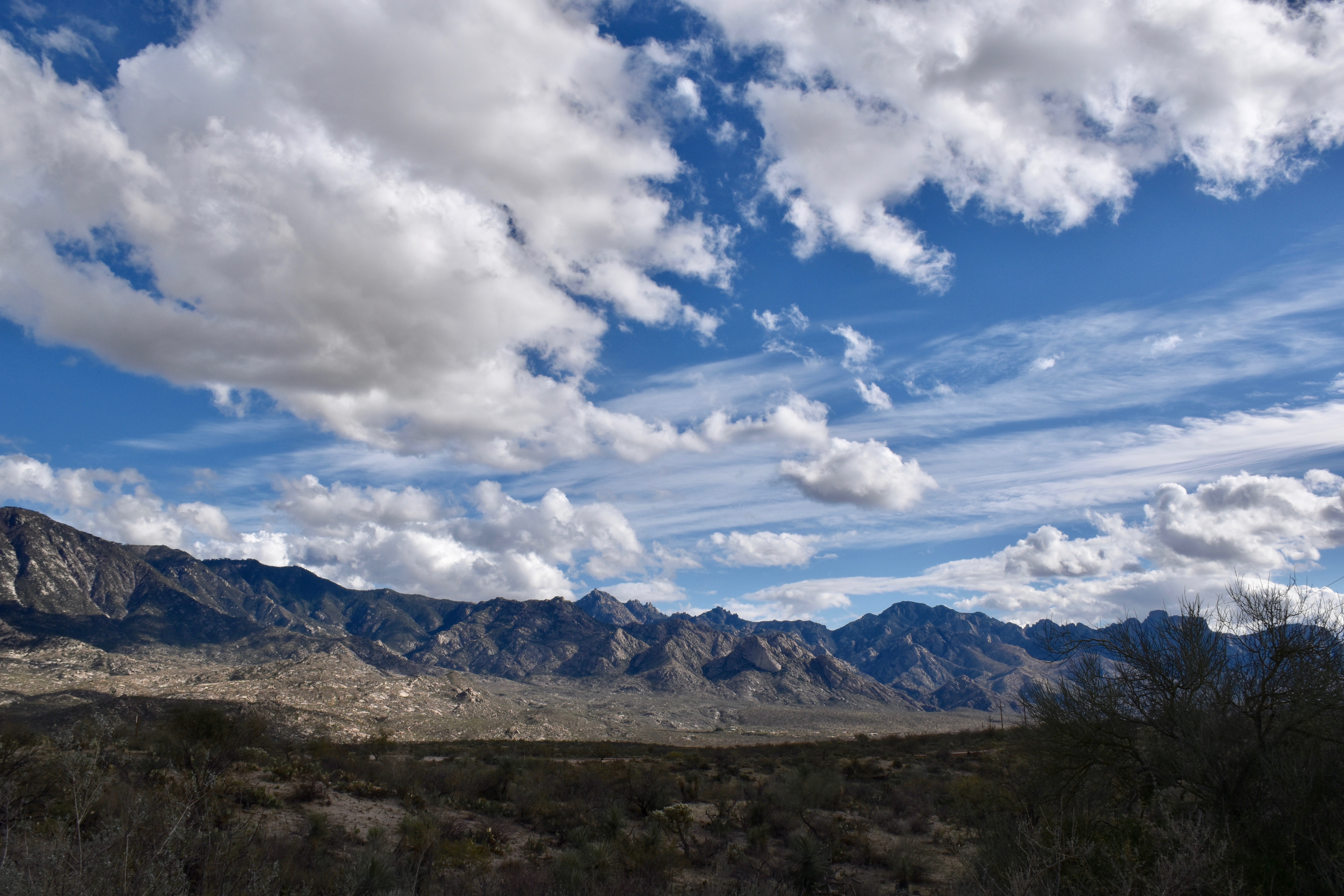
But, what a gorgeous day again! Really, with the smoky skies gone I am so appreciating a blue sky pocked with Cumulus and Cumulonimbus clouds!
Lettuce reprise yesterday in all its unexpected glory:
8:56 AM. Shallow Stratocumulus-like cap cloud tops the Catalinas, a sign that the lower level moisture is still abundant. But is there anything topside of these clouds? I didn’t think so. Too dry for anything deep was the flawed thinking. I really admire people like myself that admit error.10:46 AM. The early Cumulus sprouts. No problems here, so pretty, too. You can see how the wind increased with height by looking at this crosssection of the clouds and how they lean to the right in their upper portions.11:55 AM, an hour later. What’s that to the SW, upwind, and in the distance? Huh.11:55 AM, an hour later,zoomed view. No doubt about it, all Cumulus hell is breaking loose. That cloud is going to reach the ice-forming level. This is incredible considering what was thought about the day this very morning. I’m happy that it looks like its going to rain somewhere, but sad for myself that I did not see this happening because I was lackadaisical. There is no happiness that exceeds having rain in a desert and you predicted it!11:56 AM. Cu just sitting around just looking pretty over there to the NW. BTW, this house will be for sale soon with its million dollar view; yours for half-price, $500,000 if you call today! (CMP used to live here. so it has some extra caché.) haha12:08 PM. Look at the ice in that turret! “Unbelievable”, having indicated the clouds were going to be too shallow for ice development.12:14 PM. Rain shaft develops… Maybe its a one-shot wonder. Pretty, though, as EVERYTHING was yesterday. Too seductive for my camera!
12:23 PM. I am beside myself, in conniptions looking at this jolt; looks nuclear, to reflect a newsy theme of the day. And now we have some serious shafts, too.12:43 PM. Thunder and the whole bit, a major shaft roll across the desert NW of Saddlebrook and Catalina. Wow. What a day this turning out to be!1:02 PM. Almost ideal shot of a Cumulus congestus all by itself there. Catalina Mountains really didn’t participate much, no rain shafts developed withing sight.3:38 PM. The major cells had “left the building” and for a time looking upwind, there was an impression that it was all over, the subsiding, dry air was now mashing down cloud tops to where no more ice could form. That was not to be the case!3:48 PM. Some nice shadows around, not that the action is over… Was it? Nope.3:50 PM. A distance rain shaft! Unbelievable! The day is still giving after it looked like all that subsidence was coming in! (I was pretty excited here, as I am sure you were, too.)4:08 PM. More astounding by the minute, considering how late it was in the day, for this big boy to erupt. Will it hit Catalina? Will is last long enough to do that?4:16 PM. Taller yet, though some of this straight up look is actually due to the top of this Cumulonimbus calvus (verging on the hairy looking, “capillatus” version_ leaning over us. That’s partly why the rainshaft has thinned from the prior photo. Unless another turret shoots up, it may be all over. Some thunder rumbled out of this cloud, too. Well, it moved rapidly toward the NE from here, missing most of Catalina, the bottom evaporating up leaving only an icy debris cloud during the next half hour. No photos. I was driving somewhere….which prevents taking photos as has been mentioned here on numerplus occasions. (Hah! “numerplus”, a typo that might become a new word!)4:29 PM. This beauty beyond the Charouleau Gap. Can you tell that the top knob has converted to ice? I hope so.6:01 PM. Pretty scenes aren’t always just in the sky, but in the lighting of stuff, to be poetic. And, with a rain gauge in it, can it be any better as a scene?
Since I was clueless yesterday, will remain quiet about today’s weather, though we do have low level moisture around as clouds are again topping the Cat Mountains.
We’ll still get into some early winter like weather in only a week–that’s pretty much in the bag. Probably no rain, though, just a bit of a very windy day or two and very cold air for the time of year plopping over us. Our TEEVEE weather folks are surely all over this!
It was quite a surprise to this observer who claims to be a “cloud maven”, but whose credentials must be questioned, even if I do say so myself. Was thinking plain old small to moderate Cu, hold the ice.
But in a long cloud street, appearing to emanate from Kitt Peak, some ice started to show up in the cloud row upwind of us. Wonder if you saw it? The first ice happened around 3:45 PM, followed by a couple drops at 3:59 PM. Well, as Rob Reiner might say, enough of my yammering, lets get on with the cloudumentary:
Yesterday’s clouds, lot of ’em
12:00 Noon. Small Cumulus clouds have arisen all over, its breezy, and some Cumulonimbus clouds can be seen on the distant horizon, on is there on the right. SO NICE to see our usual deep blue skies back!12:00 PM or is it AM? Noon, anyway. Cumulonimbus calvus launches northeast of the town of Oracle. Can you tell that this fatter cloud is all or mostly all ice in its upper portion?
12:01 PM. There’s a little cloud street coming off Pusch Ridge and heading toward Catalina. Later the wind direction changes and the cloud streets come from the southwest rather than south as here.12:36 PM. Not much has changed. Maybe its because its only been 35 minutes since the last photo….2:38 PM. Still not much going on. No ice or anything, Cbs way over there to the north. Might as well take a nap than be conscious through this slack period. Nice shadow though… Wonder what’s causing it?2:38 PM. Hah! A cloud street is right over ME!!! Looks like its coming from as far away as Kitt Peak! Cloud streets are pretty harmless, don’t really do anything except cause shading over favored areas. They recur over the same sites over and over again when the moisture and wind are right. Notice, too, that the wind has shifted in direction some 45 degrees or so since the cloud street that formed over Pusch Ridge around noon.3:28 PM. That old cloud street off’n Kitt Peak is still chugging along, passing right over Catalina/Sutherland Heights. Can’t really expect anything to happen though in the way of “weather.” Just a harmless cloud street…3:35 PM. Cumulus clouds are fattening up, though. Maybe they’re getting some extra calories, solar ones! Wow, where did that come from?!3:36 PM. Even some ice starting to form in these little guys! Wow, did not expect that! (That little whitish veil, center right. That means precip is coming out, snowflakes melting on the way down. But, coming out the side of the cloud like that means its almost impossible for them to survive the fall to the ground.3:56 PM. Cloud street still intact. But, OMGosh, one has ice in it! Can you see it, that frizzy stuff, center? And, its going to pass right over! (A few drops fell for just seconds at 3:59 PM!) Amazing, did NOT see this coming!Approximate locations of Catalina and Kitt Peak OBSY on a 4 PM 1-lm resolution visible satellilte image from the University of Washington Huskies Weather Dept. Image used without permission. That little white, broken streak is our cloud street that passed overhead, some cloud developing into congestus sizes, and spewing ice.4:51 PM. Cloud street still intact. Windy, too. Maybe that fatter cloud, center, will develop some ice….. Its gonna pass right over, too.5:09 PM. Abandoned station to get supplies, and on the way back on Golder Ranch Drive, this nice scene of the shadowed Catalinas. Not taken while driving, of course, That would be crazy! As a photographer you live for these kinds of moments.5:14 PM. Cloud street still intact! Large drops falling from cloud overhead; would be from melted graupel/soft hail up there!5:14 PM. Looking straight up at all that ice up there. Amazing since it wasn’t expected.5:26 PM. Since we were on the threshold where the ice was just forming up there, more rain fell out just downwind of us. If you look closely you’ll see there’s a rainbow to prove that I am not lying about more rain falling downwind from us. Might even have measured!5:47 PM. Our cloud street is releasing from its origin point and the tail end will now pass over, No more drops, as the cloud elements became shallower under a fading sun.6:31 PM. The remaining small Cumulus clouds made for some golden color at sunset. Very nice.
Enough lower level moisture for Cumulus again today, but even smaller ones than yesterday. Since the wind is already noticeable now at 6:26 AM, better mention that we could have noticeable winds again today. (Much windier yesterday than anticipated by CMP; wind was not on my radar if wind could be seen by radar (well, of course it can when they are raindrops or bugs. Hah!)
Big intrusion of unusually cold air still coming into the West in about a week. Some of that will reach right here in Catalina really giving the sense that its truly football season.
10:56 AM. Things looked promising except clouds like this over the Catalinas moved away from us. And no Cumulonimbus clouds formed over them, but rather downwind toward and beyond the town of Oracle late in the afternoon.3:30 PM. Not much going on; a very thin veil of ice was dropping out of these clouds, once the tops of the Cumulus cloud to the right and out of view. Hope you caught it. There weren’t very many ice displays until later.5:31 PM. That blasted haze/smoke layer is still evident! at the center is a glaciating turret, giving hope this whole cloud cluster could erupt into something. The model from the overnight run suggested just such an event!6:09 PM. Hah! A shower at last! And the movement is in the general direction of Catalina!6:36 PM. Stupendous sunset view, and this cluster is getting closer!6:42 PM. Zoomed view near last light. Portions of this complex consisting of a weak thunderstorm did pass over, but no shafts, just a few drops for a “trace” of rain. By this time bases had risen to about 14,000 feet above sea level, or about 11,000 above Catalina and near the freezing level, so a lot of evaporation on the way down for those poor droppies.
Last call for Cumulus clouds today, maybe a distant Cumulonimbus top off to the north. Then one of those long clear and dry spells of fall gets underway….
First, I will shamelessly plug a book on clouds, “A Sideways Look at Clouds”, by a well-published and acclaimed author friend, Maria Mudd Ruth. Its about her odyssey into them, mentally and physically, after she realized they were something she really had not paid much attention to before mid-life, then she had to know EVERYTHING about them! Its a great read, infused here and there with humorous anecdotes.
6:43 PM yesterday. If you look hard you can see there wasn’t much of a rain shaft with these guys. Bases were too high, updrafts pretty weak, so not a lot of water “topside” to come out.
Not that there have been that many rainstorms since the end of July.
But it would seem that today marks the meteorological end of the summer rain season as dry westerly winds sweep our remaining tropical air to the east today. The mods think there is a chance for a couple of high-based thunderstorms in the area around Catalina late in the day. But bases will be so high that not a lot of rain will reach the ground even if one passes right over us. And, they’ll be moving in from the SW or W today due to encroaching westerlies.
In a little over a week, too, you’ll be hearing about early snow in the Rockies and West! We’ll have a day or two of those gusty, dry southwest winds that accompany our winter storms as well. You’ll get a real feel for the season change then.
Check out this plot from the NOAA spaghetti factory showing (blue lines) that an unusually strong upper trough will absolutely dominate the West in just over a week
Valid on Thursday, September 21st at 5 PM AST. As this develops it draws a tropical storm northeastward out of the Mexican Pacific into New Mexico. Lucky for them!1:48 PM, September 11. Nice to see those blue skies again after so many smoky days! Here Cumulus humilis, Cumulus fractus (shred clouds) dot the sky.4:56 PM, September 11. The remaining smoke is still enough to produce crepuscular rays below Stratocumulus and Cumulus (blob on the right).6:30 PM. Orangey sunset speaks to remaining smoke. The clouds are a Stratocumulus with Cu underneath on the right.4:46 PM yesterday. The drama of lighting and shadows is about the only drama we might see now for a LONG time! Still these kinds of scenes are so wonderful; never get tired of them, which is strange.4:57 PM. Even yesterday, amid all the blue, you could still see a lofted layer of haze, typically thickest near cloud base and within cloud layers where the relative humidity is highest and some of the haze particles have “deliquesced”, adsorbed water, fatten up and scatter the light more effectively helping to produce that hazy look in toward the sun (called, “forward scattering.”) Can you see the slender icy top protruding down there in Mexico. We’ll go zooming next so you can see it. Good for you if you entered it in your cloud diary!4:57 PM. Zoomed view of that little protrusion of ice. Only a few drops would come out something like that as it developed. Here its pretty much in its dead phase, likely no base under this ice cloud. The horse icon wind vane is that of a trotter racing horse. Mom was a horse trainer and this is hers! In case you don’t believe me again, see below:Mom in 1957 or so. She passed a year ago in July.4:58 PM yesterday. More shadow drama. Expect more of this later today.
Rain almost certain today and/or tonight in Sutherland Heights.
Yesterday’s cloud jumble
4:19 PM. Ugh continues.6:21 PM.6:22 PM. Looked like something might develop for a time.Tiny cell develops overhead with thunder and a few drops at 3:40 PM. Moved NW.2:36 PM.2:34 PM.


