One branch of a seemingly bifurcated plume, spread north along the side of Samaniego Ridge. The other branch appeared to moved out of Tucson to Continental Ranch, “thence” northward toward the east side of the Tortolita Mountains. It’s happened before, but is pretty rare, maybe once a year occurrence.
(Took an hour for these first three jpegs to be uploaded to WP, btw.)
7:23 AM.7:25 AM.7:25 AM.8:16 AM. Smog plume at its maximum northward extend along Samaniego Ridge, Sutherland Heights area, before dissipating.7:49 AM.8:58 AM. Stratocumulus perlucidus races toward Catalina.7:59 AM. Altocumulus translucidus perlucidus undulatus, quite a cloud-filled mouthful.5:30 PM. This rain shaft is strong enough that one could suspect a weak Cumulonimbus cloud has erupted from the Stratocumulus.
Quitting here due to slower than dial-up service, hosting service, “godaddy” has confirmed its not them….
Rain almost certain today and/or tonight in Sutherland Heights.
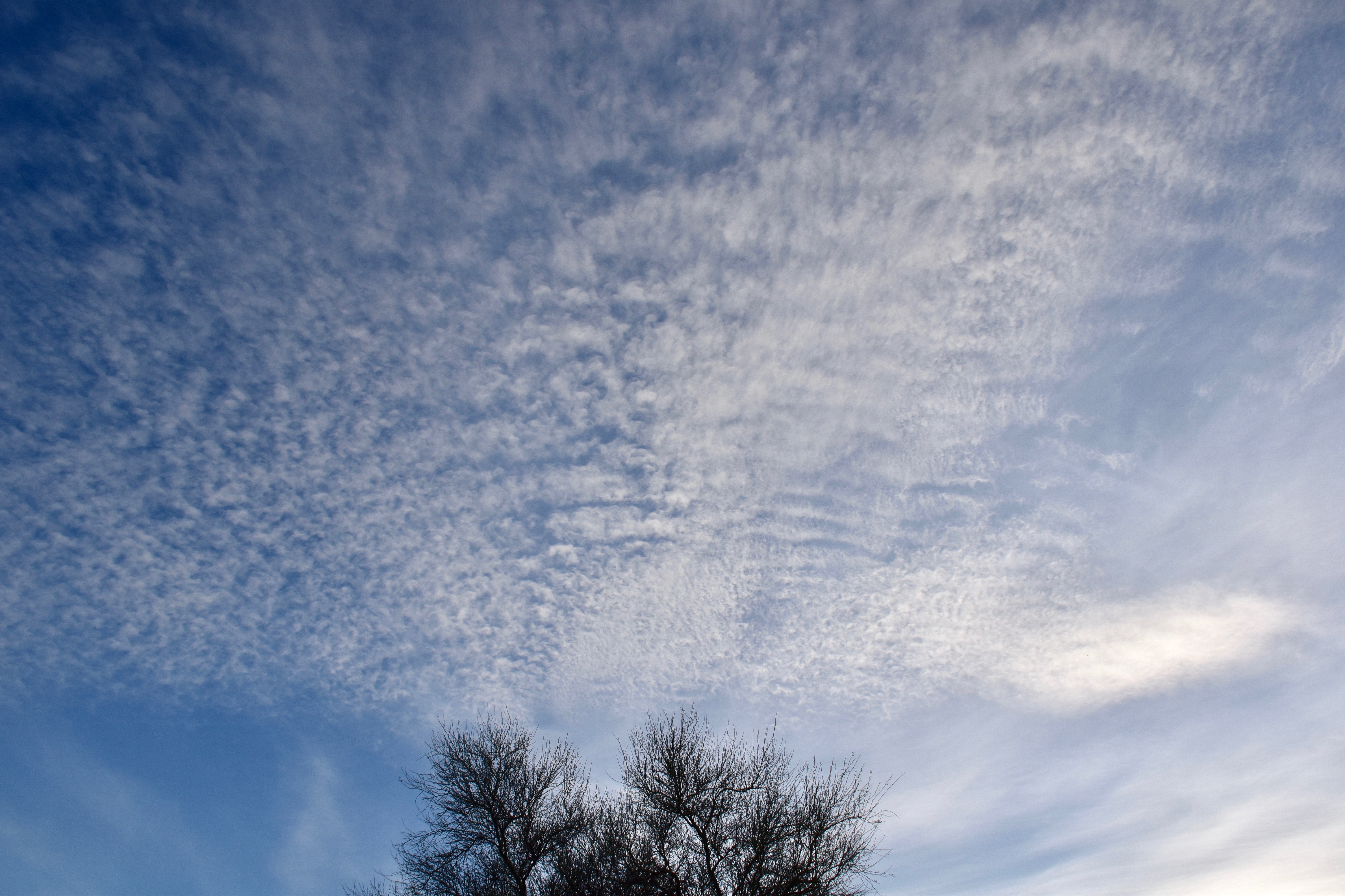
Yesterday’s cloud jumble
4:19 PM. Ugh continues.6:21 PM.6:22 PM. Looked like something might develop for a time.Tiny cell develops overhead with thunder and a few drops at 3:40 PM. Moved NW.2:36 PM.2:34 PM.
5:43 PM. Poor clouds (Cumulus humilis and fractus having to ingest all that smoke).6:35 PM. Gritty not pretty.Smog report from the US NAVY Monterrey branch for the West. And look how bad it is in the Pac NW! (Lower right panel).
Our persistent easterly flow is dragging smoke that circulated from the Pac NW and MT fires into AZ since that smoke was circulated southward into the southern Plains States as we saw in those back trajectories from a couple of days ago.
Ten day back trajectory for 3000 m above ground level, ending yesterday at 11 AM AST. Huh.Ten day back trajectory for 200 m above ground level ending yesterday at 11 AM AST. Looks like some air from Houston drifted came over us. Wow, what a surprise that is!Ten day back trajectory for 1500 m above ground level ending yesterday at 11 AM AST. Another, “huh.”FOUR day back trajectory for 500 m above ground level ending yesterday at 11 AM AST. Probably pretty accurate. As you can see smoke has come all the way from the Gulf of Mexico across southern Texas to get here. Amazing. Most likely, its still smoke, though, from the widespread and numerous fires in the Pac NW and MT that drifted all the way down there before heading over here.
Some Cumulonimbus clouds are foretold to develop in the region today, more tomorrow. This should mean some clarification of the air as the smoky air is mixed over a great depth. Also it appears that the air will be coming from a less smoky direction, more from the south in two or three days, along with a much greater chance for significant rain, and that should help get Arizona skies back to the ones we love!
August rainfall total in Sutherland Heights: A measly 1.10 inches, to editorialize that bit, rather than to just report facts. Average August rain here is 3.16 inches. Egad.
What about the haze? Where’s it coming from and its awful! And its here again today. Reminds one who lived in southern California of summer skies in southern California, hazy, whitish, the orange- colored sunsets that people sometimes thought were “so pretty” but they were ugly because they were orange because of smoke and smog and s like that.
Where’s it coming from, to repeat? Not sure. But see back trajectories below.
These suggest its coming from the east in the last day or so of the trajectories. The trajectories start high up because we’re in the descending air branch of an upper air anti-cyclone that’s dessicating the air, preventing even little baby Cumulus from forming.
————-
Lidia’s moisture will help some, but it appears no rain will reach us today, Dang.
But things get more promising for at least a short return of the summer rain season (remember, the real monsoon is in India) in the immediate days ahead, phrasingly vague enough to insure a great forecast verfication! haha
Looks across Catalina and Oro Valley toward the Twin Peaks area yesterday afternoon. “Egad”, to repeat a mild expletive.
6:44 PM. Orangey sunset over the Tortolita Mountains, where else would it be from Catalina (at this time of year)? The orange suggests a smoke aspect in the aerosol.Four-day back trajectory ending at 500 m above the ground and at 11 AM AST yesterday over Tucson.Four-day back trajectory ending at 2000 m above ground and at 11 AM AST over Tucson.
Every once in a great while, we have days where fairly thick clouds do not produce even a sprinkle, even though their tops are a little below freezing, but not quite cold enough for natural ice to form. Yesterday was one of those days.
And it was a day you, a cloud maven junior member, could likely have done something about it: rented a small plane or helicopter capable of flying up to around 15,000 kft ASL, taking a bag of commercially available dry ice pellets, then drop them into the fattest, highest Cumulus tops you saw while nipping them in VFR flight mode, and, “violet!”, ice would have formed along the path of the falling dry ice pellets!
So what were the ingredients that made yesterday so special for a little renegade cloud seeding?
The clouds that did not rain were pretty thick for ones that didn’t rain naturally, maybe 5,000 to 6,000 thousand feet thick in their maximum “overshooting” tops, and temperatures at top were a little below freezing, but warmer than -10° C. At lower top temperatures ice would likely have formed naturally. Here’s the annotated TUS sounding from yesterday afternoon from IPS MeteoStar:
The 00 Z (5 PM AST) rawinsonde from TUS, typically launched about 3:30 PM AST. The upward pointing arrow shows what the in-cloud temperature would have been like. The lapse rate, from aircraft measurements is virtually never along the “pseudoadiabatic temperature line (one of which is where the horizontal arrow heads are), but somewhere between that and the dry adiabatic temperature lines that show the temperature drop in a rising dry parcel of air (one of which is where the upward pointing arrow begins). Cumulus protrusions carry the boundary layer air from the surface, that air that forms the Cumulus clouds, into the stable,, and warmer overlying air. So, protruding tops sink like a stone; don’t stay long at their lowest temperature, also hurting the chances that ice will form. That’s why you have to do it.
Here’s how it works: the dry ice pellets, themselves at -72° C, will chill the air it comes in contact with to -40° C, resulting in the formation of jillions of tiny ice crystals in each pellet’s wake, which are then spread over a wider region in the following minutes due to turbulence in the cloud. In essence, each pellet is creating a tiny, vertical “contrail” in that cloud, as least in those upper parts of the cloud below freezing. (Bases yesterday were a little above freezing, around 2° C, while the highest afternoon tops locally appeared to run between -5° and -10° in clouds that were forming in more haze and smoke than usual (wonder if you noticed that?) Haze and smoke tend to reduce droplet sizes, and in doing that, make it harder to form ice and rain, especially in marginal clouds for that, such as we had yesterday.
What happens next is that the “supercooled” water in the cloud evaporates around those crystals due to the dry ice bombardment, while the crystals take up that evaporated vapor. When the crystals get large enough, they may collide with some remaining cloud droplets, if there are any around. Usually all those crystals that have formed will not left too many droplets in their vicinity.
As the crystals grow in size, and because they are in such high concentrations, they will bump into one another and form clusters of ice crystals we call snowflakes. Cloud Maven Person has, along with Professor Doctor Lawrence F. Radke, the latter the “Flight Scientist” in those days with the University of Washington Huskies’ Cloud Physics Group1 in the late 1970s, made snowflakes the size of pie plates (fluffy light ones without a lot of water content) in Cumulus clouds like yesterday’s here.
IMO you would have created not something of much importance, but rather just an annoying sprinkle or very light shower for those out hiking, horseying around on their horses, biking the trails, on an otherwise perfect day for outdoor activities.
One of the problems, long known about in such seeding experiments as could have taken place yesterday, is that the cloudy air is moving THROUGH the cloud, exiting at the downwind location. That is, lower clouds in particular, move SLOWER than the air itself2.
So, you drop some dry ice in a nice turret, the air you dropped it is, along with that turret’s air, will be moving downwind and is going to go out into clear air eventually. So, if the crystals don’t stay in a turret and upward moving air, but goes out the side of the cloud or into “shelf clouds” like yesterday, those crystals/snowflakes aren’t going to grow much, and will remain “light and fluffy” even though they could be huge because they are like “powder snow” not a lot of water mass in them. When they melted at cloud base, they might end up being just drizzle-sized drop (less than 500 microns across) or very small raindrops. So, that’s why you would likely have gotten just a sprinkle or very light rain shower had you done some unlawful, renegade cloud seeding yesterday. Remember, just like when you hike in the State Land Trust areas, you need a permit to seed legally.
This message brought to you as a public service by CMP.
Yesterday’s clouds
7:02 AM. Tall, but not so tall to form ice, Cumulus clouds boil up off the Catalinas. Made you think some Cumulonimbus clouds might form later on. They didn’t.10:26 AM. Disorganzied Cumulus still lurking on on the Catalinas, but the main thing here is how much smoke was in the air when you might have been expecting a very clean morning due to the previous evening’s thunderstorms and rains. Very upsetting to this smoky scene.10:27 AM. Looking NE at some Cumulus congestus, no ice evident from this view, but I would not rule it out, Forgot to check radar to see if there was an echo with this cloud.2:10 PM. By mid-afternoon skies started to look a little threatening with a Cumulus congestus having formed over and extending downwind from the Tortolita Mountains.2:14 PM. Looking for ice to appear in the oldest top portions, now evaporating, top of photo. None seen.2:39 PM. Someone needs to get up there on top of this Cumulus congestus, drop a little dry ice in it. Nothing came out, though I thought I would feel a drop at any moment! Some sort of birds can be seen, lower right.3:19 PM. Looking downwind at part of the base of this Cumulus congestus cloud line that sat over Catalina for awhile. The top has the base, to the left is the “shelf cloud of Stratocumulus spreading out from other tops and drifing downwind. If precip falls out of the shelf cloud, once part of a turret, you can see I hope that it would fall out of a thicker column of dry air.
4:01 PM. The scene before a lot writing appears on this photo.The same photo with a lot of writing on it.
The weather way ahead
While warm weather returns to AZ over the next week to12 days or so, there is now, and this goes with climo, a big trough that barges into all of the West Coast in two weeks.
When I say climo, I mean that there is a noticeable tendency for this to happen in mid-November in the longterm upper air records so that in some areas of California, for example, there is a modest increase in the chance of rain in mid-month over other times in the month. These kinds of things in weather are termed, “singularities” like the supposed, “January thaw” back East. This mid-November annual trough passage may be related to the increasing speed of the jet stream in the Pacific as winter approaches, something that changes the spacing between the troughs. Pure speculation.
But in any event, be on the lookout for a major change in weather here between the 17th and 20th of November. Something like this is starting to show up in the models.
The End
——— 1Later renamed the Cloud and Aerosol Research Group.
2Something that was even noticed in small tradewind Cumulus in the Pacific in the 1950s by Joanne Malkus (later, Joanne Simpson) and her colleagues.
7:13 PM, June 3rd. Yikes.7:14 PM June 3rd.7:14 PM June 3rd. Finch stares at strange sunset. Smoke in the background dribbles down from Gila County fire.4:53 PM, June 3rd. Large rodent distraction. I thought they were nocturnal…..2:25 PM. Gila smoke layer dims sun slightly, but not much effect on temperature; was 107°-108° F about this time.7:15 PM yesterday. Same smoke band from up around Gila County, same sun.7:17 PM yesterday. Overview of smoke band.
Through deliberate deception, the title is likely to bring in quite a few football-centric people, since “jumbo package” is a term used when an offensive team bring in all the “Sumo wrestlers” they have, usually in attempts to score a touchdown from 6 inches outside the goal line.
The “jumbo package”, however, is about some weather, essentially at “mid-field” rather than on the goal line (i.e., just ahead):
A large and very strong upper low center is forecast to arrive on Sunday, October 25th, football day, the last reference to football in this blog. As it passes over Arizona, the first snow of the year would likely fall on the ‘Frisco Peaks by Flagstaff.
Tremendous rains, too, would occur here in AZ with this low, espepcially2 here the SE corner, should it happen. See WRF-GFS model outputs below, as rendered by IPS MeteoStar:
Valid on Sunday, October 25th at 5 PM AST.Valid on Sunday, football day, October 25th at 5 PM AST. The bluish regions denote especially heavu rains having fallen in the prior 12 h.
But does it happen?
Let’s check the spaghetti from NOAA for a hint about whether this weather happenstance has much chance of occurring:
Valid on Sunday, October 25th, at 5 PM AST.Same map as above, except annotated for those who found the first map geographically challenging.
You, too, as an expert on spaghetti now, are as crestfallen as I was to see this spag output from last night, showing that the espepcially strong low is, in fact, an outlier; a not impossible situation, but an unlikely one since we don’t have the bunched blue contours where the jet stream is strong, down thisaway. Rather, those blue lines are grouped over the Pac NW, and only one or two bluish contours are down here, ones that would be associated with that upper low on the 500 mb map above for Oct. 25th
Still, even when you know its an outlier, it brings hope for a bountiful rain, which is good. Will monitor this as the days go by, in case the outlier spaghetti output is an outlier.
The weather just ahead
Of course, as all weatherman know, we still have our boomerang friend Joe Low returning with rain; that’s in the bag, and has a little “friend” following behind him. These, combined, should bring substantial rains overall in AZ and in the Catalina area, in the form of scattered showers and TSTMs that persist over several days beginning later Thursday through Monday. Joe et al. are slowpokes, which is good.
Haze and smoke are up, if you’ve noticed that our skies have been not so blue, but whitish. Stuff is coming up from Mexico it appears; (Smoky) Joe will bring more of that before it gets here. So, look for a hazy patches of Altocu and/or Cirrus in the next couple of days. Maybe a small Cu off in the distance.
2:06 PM, October 11th. Shows the kind of hazy, smoky conditions we’ve been having lately. There is also some delicate Cirrus up there contributing to the whiteness.
The End
——————————-
2“Espepcially” is a word I made up via some inadvertent key strokes, but I kind of like it: “In particular, but with some energy.” BTW, Coke tastes better than Pepsi, if that new, unexpected word made you think of a soft drink.
Wednesdays here in Catalinaland are, of course, trash and recycling days. And, along with T and R day, we found ourselves amidst some pretty pretty scenes, and in some cases, extraordinary ones,….and a little rain (a trace here in The Heights). I reprise those scenes in case you missed them; you probably did because you’re not some kind of photonut like the writer.
However, be advised that some of the mid-day photos will show smog, smog that was ingested into our poor clouds.
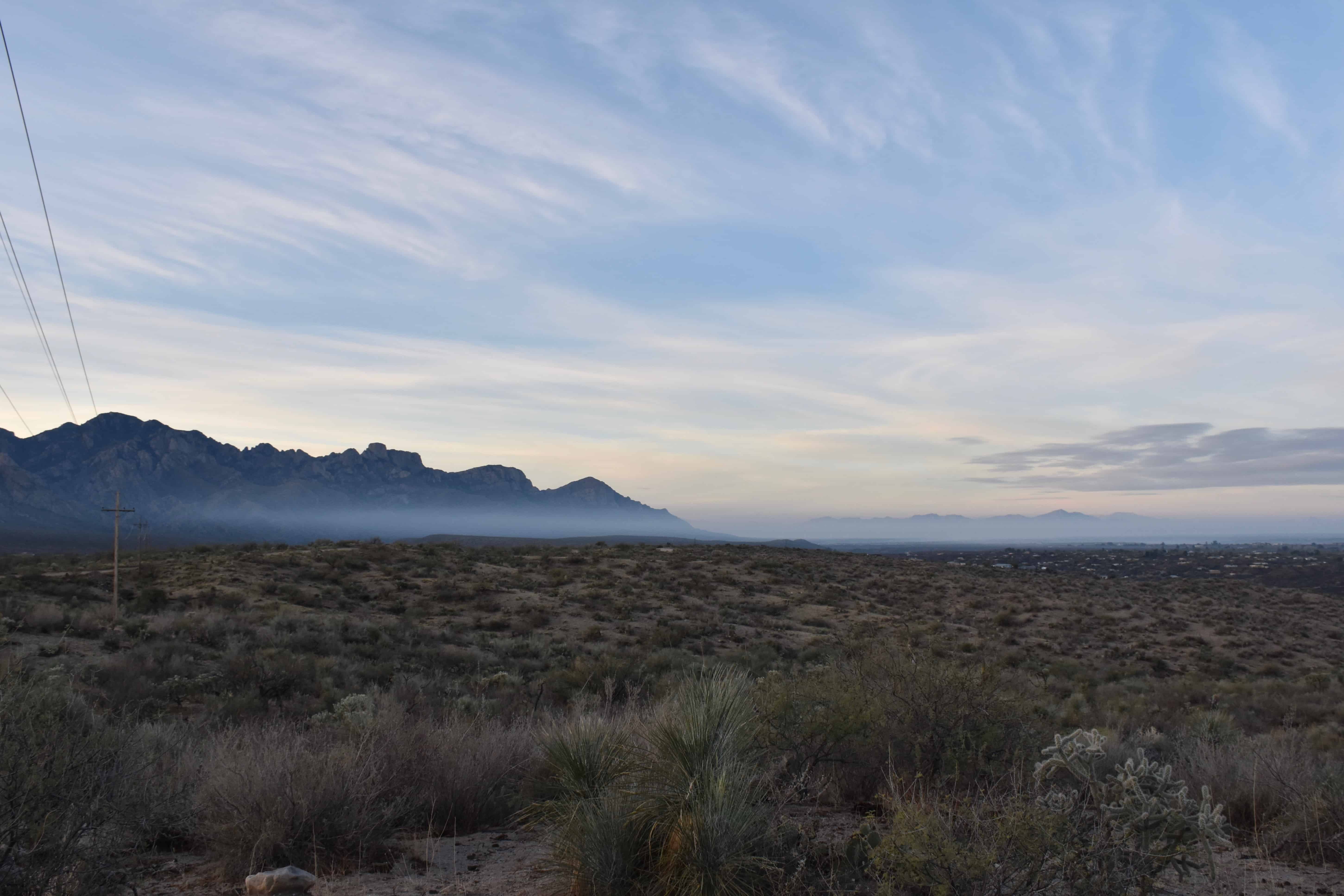
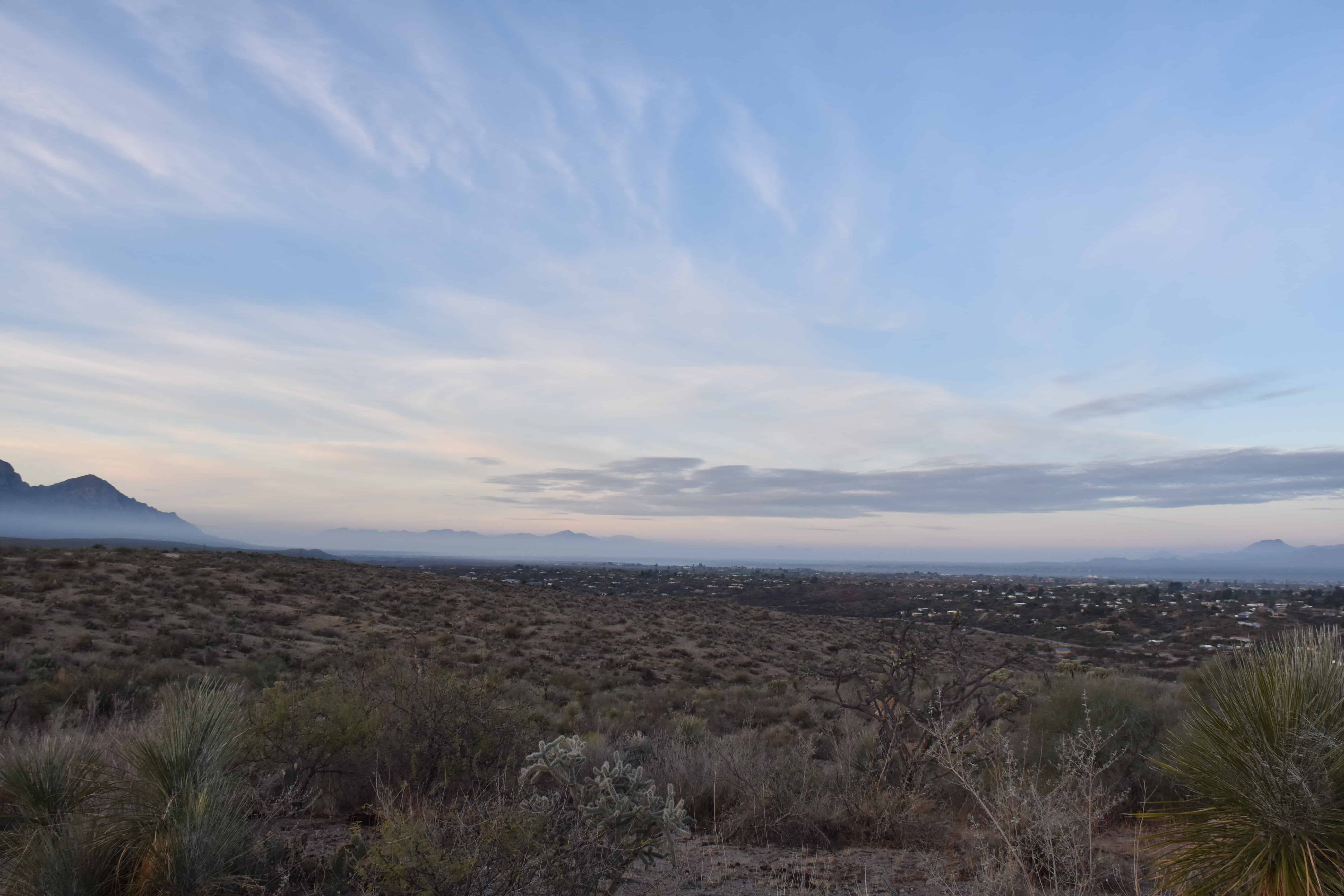
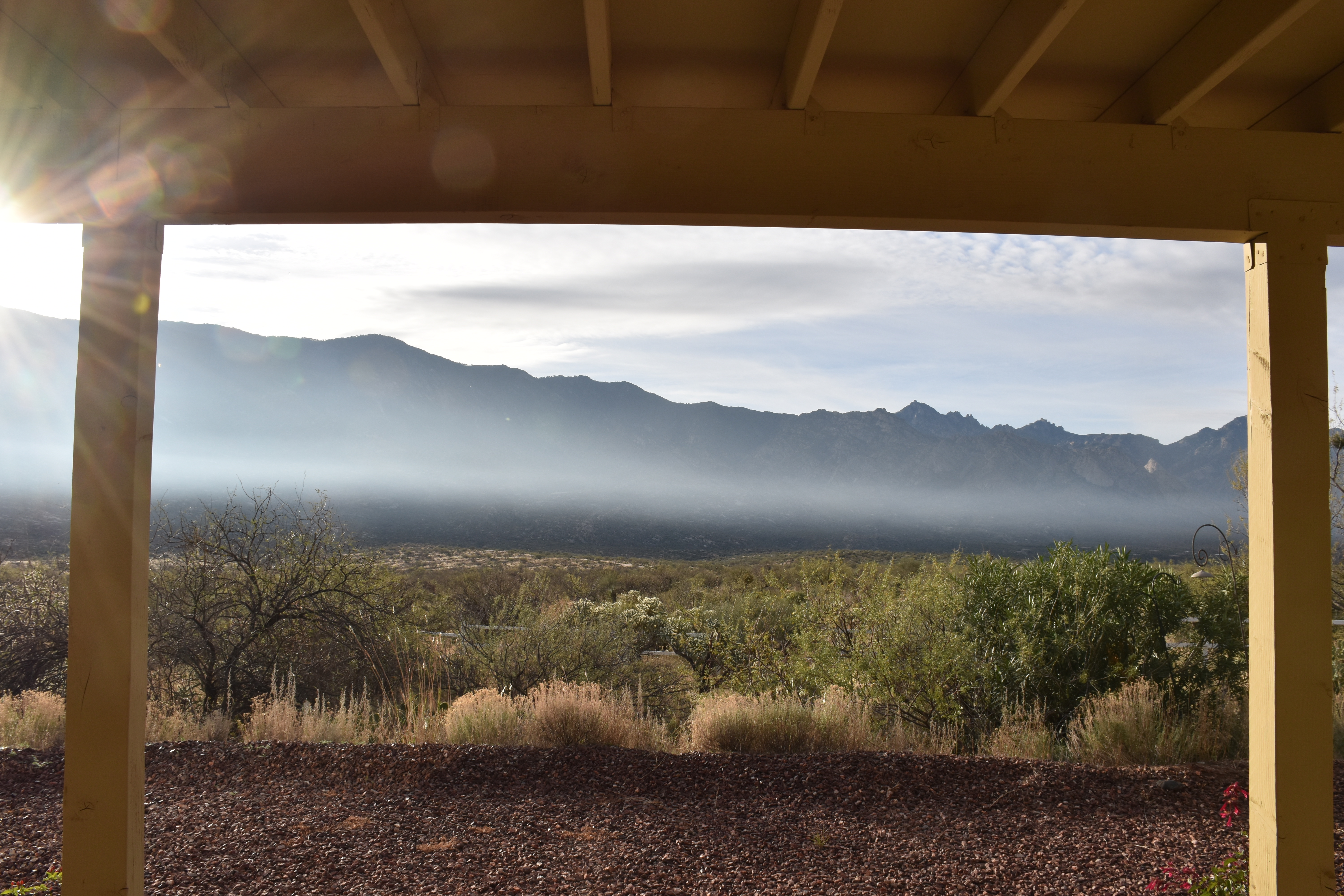
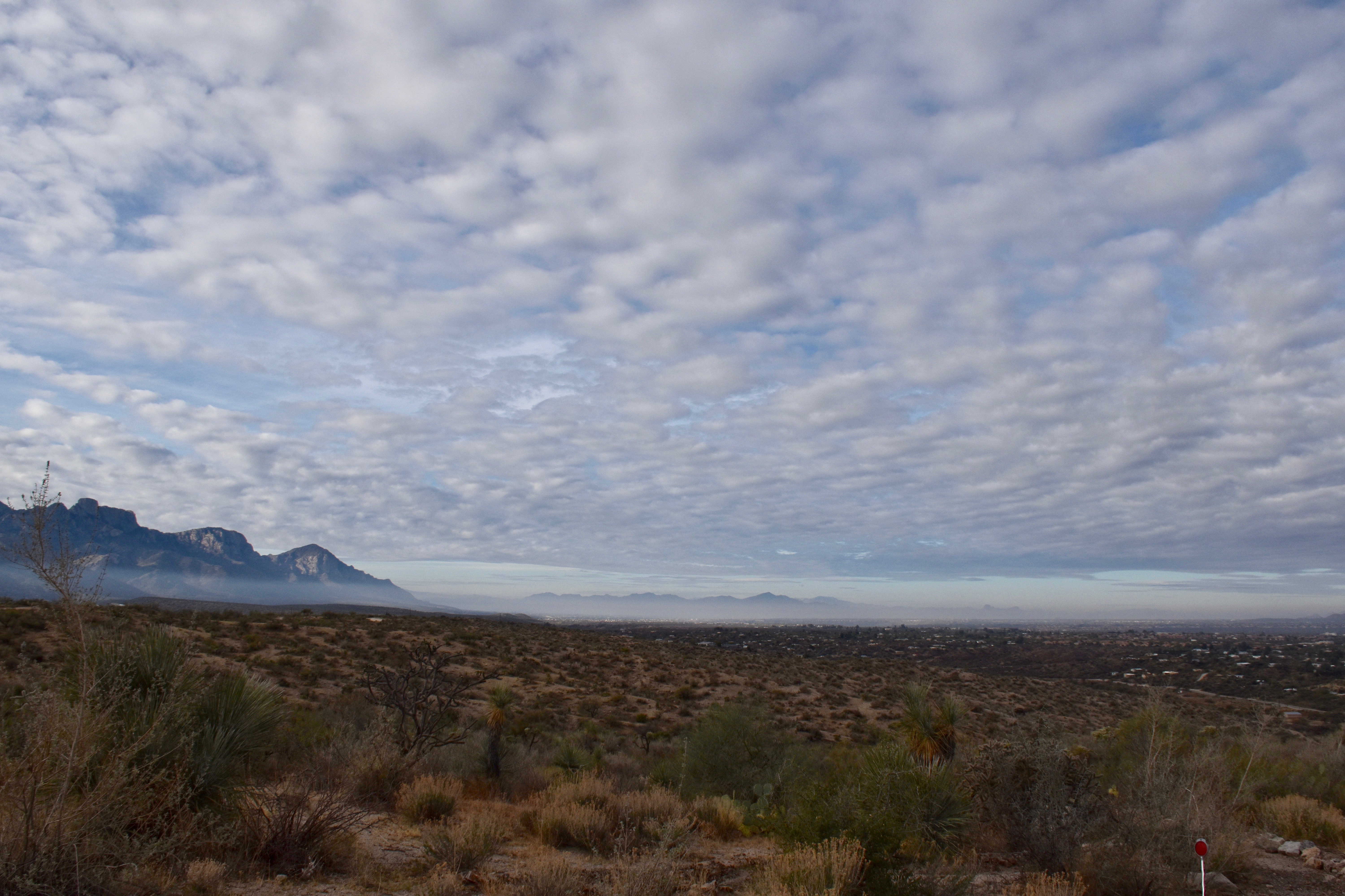
That smog bank, emitted from the Tucson area, almost reached Catalina yesterday during the day. It came up around Pusch Ridge and up along the west side of Samaniego Ridge and almost reached Catalina before its advance was halted by a north wind push and it retreated to the the south. My heart was beating so fast that it might overrun us! Marana and Oro Valley were heavily contaminated for awhile. And smog is like a cloud cancer1.
7:46 AM. A rare display of Stratus along the Tortolita Mountains. If you were hiking and were in this, it would be fog to you, still Stratus to me viewing it.7:46 AM. Rare shot of what appears to be ground fog or just fog rolling eastward out of Tucson. Some flakes of Altocumulus above, and a higher layer of Stratus on the Tucson Mountains.
8:49 AM. This was an amazing sight, to see a thin Stratus cloud fronting an early morning Cumulonimbus capillatus. The Stratus is hard to see, but its the thin dark line on the horizon above Priscilla’s house below the turrets and ice of the Cb. The only other time I have seen such a sight was in Seattle after a snow with Stratus clouds and fog all around the city, but with warm Puget Sound sending up plumes of big Cumulus clouds.
10:37 AM. The day was not without some cloud levity, as these “twin tower” Cumulus clouds show, drawing attention to themselves.
11:26 AM. First ice in clouds becomes visible. It was obvious a few minutes later, but if you saw at this time, or can find it here, you are a pretty CMJ, worthy of an accolade. Of course, if you looked at a radar map of the area, you would have known where to look in advance since there was a small echo in this complex by this time. The precip just was not enough to form a shaft. Note, as well, that Twin Peaks, Continental Ranch area is NOT visible due to the smog bank that was going to move up this way, as it turned out. And look how gorgeous it is toward the Tortolita Mountains!
11:38 AM. OK, here the ice from that turret in the prior photo is now obvious (center frizzy area). However, it was also obvious that the smog toward Marana/Continental Ranch was now closer, even while we had a north wind here in Catalina. Was that southwest wind going to win and mess up our fantastic skies?11:42 AM. Here you can see the smog as it was advancing around Push Ridge and had gotten farther north along the side of Samaniego Ridge. Those lower cloud fragments along Pusch Ridge at the top of the smog tell you that the air was more moist than the air our Cumulus clouds were forming in, and therefore, that this advancing smog bank likely associated with deliquesced aerosols from cars and other urban effluents (aka, “air sewage”) accumulated during the Tucson fog earlier that morning that was now being mixed into a deeper layer and heading this way! To think of breathing air like that. in a short while..it was a ghastly thought.
12:12 PM. To make a short story long, the advance of the smog, with its lower based clouds got as far as Golder Ranch Drive over there by Samaniego Ridge (whitish area below the lowest cloud base on the left), before receding under a freshet of north wind. However, some southern parts of Catalina were affected for a short time.
1:14 PM. By this time, larger complexes of Cumulonimbus clouds, pretty weak ones, were developing over and north of the Tortolita Mountains and upstream of us offering the hope of some measurable rain in Catalina, the smog pretty much pushed back to the southern parts or Oro Valley and Marana.
2:00 PM. Widespread light rain showers were in progress from these weak Cumulonimbus clouds, but sadly, bypassing Catalina. But huge visual payoffs were ahead as the clouds broke at times, and some stunning sights emerged.
2:35 PM. Stunning….to me, anyway. View this in full screen mode for best impact. Later, more accessible stunning.
3:01 PM. Breathtaking; in total awe of this scene! Note gliaciated tower at right.
4:28 PM. And those scenes just kept coming! It was hard to be indoors for even a minute.
5:28 PM. The fading sunlight and the fading Cu only got more breathtaking. And we realize how lucky we are to be here and see scenes like this so often.
5:38 PM. The smog belt, held at bay during the day, still lurked to the SW of us, compromising our sunset by providing a reddish-yellowish sickening hue to it, a sign of a smoky presence, that may compromise today if we’re unlucky.
The weather ahead and way ahead
Well, RIP El Niño, an EN expert has written me just yesterday. Not much left of it he says, having a attached a map of ocean temperature anomalies to kind of rub it in. So we can’t count on hot water in the eastern Pacific to help fuel Southwest storms as was expected by the CPC and others last spring. But, that doesn’t mean that there can’t be a juicy late winter and spring, but the odds are down.
And, we won’t see clouds like yesterday until the long-foretold-by- spaghetti trough arrives around the 22nd of January, and with it some chance of rain. Doesn’t look like it could possibly be very much. BTW, Only 0.02 inches total in three days of light showers in the current situation. :{
BUT…..in the longer term, spaghetti is once again HINTING at a break-on-through-to-the-other side situation, your writer’s favorite as a kid, 10-14 days from now. A high builds up along the West Coast and in the eastern Pacific, gets too big for its britches, can’t maintain its giant north-south range, drifts farther and farther north and begins to break up, kind of looking like a horseshoe with the open end down (toward the south) as the jet stream “breaks on through to the other side” and “underneath”, that being a jet stream comes through from the warm subtropical central Pacific to the southern areas of the West Coast.
The north part of the West Coast and Gulf of Alaska are dominated by higher pressure with lower pressure to the south, so its kind of an upside-down-from-normal looking weather map, pretty rare, and that’s why its cherished by yours truly.
The End, at last!
—————————————————-
1As you know, when clouds are heavily contaminated with air pollution, they can’t rain as easily because the droplets are smaller inhibiting rain in two ways: by preventing the formation of drizzle and rain drops, and making it more difficult for ice to form since the formation of ice happens at higher temperatures when cloud droplets are larger. So, clouds have to be taller when they are polluted to produce rain, either way.
Well, that cloud WAS “creeping” toward us after suddenly appearing on Pusch Ridge at dawn… Looky here:
7:14 AM. It thinks we’re not looking.7:25 AM. In only three minutes, a spurt toward Cartalina, hugging the mountains where its safe.7:44 AM. I wasn’t watching for awhile, and suddenly, there it was across from me!8:00 AM. By this time it was just sitting, pretending it was something innocuous, but I knew better.1:44 PM. By afternoon, it was gone… Or is it? You see, creepy Stratus fractus is afraid of the sun, twist and writhes in a death throe, evaporating right before your eyes when the sun comes out, or the weak light from the sun, as yesterday, warms the air up a little. Stratus fractus is truly cold blooded and only strong light will make it go away! The end. Below, some apropos music and commentary…
———–
With Halloween only 10 and half months away, I thought I would “get in the mood” and make up a little creepy-ness for the little kids who read this blog. Hi, kids! Hope you didn’t get too scared reading this. “Uncle Artie” is sorry if you did get scared.
What you saw in that sequence of Stratus fractus movement is also demonstrative of what often happens to smog layers funneling out of the Tucson area toward Mark Albright’s house in Continental Ranch, Marana. Here’s an example of creepy morning smog (smoke and other aerosol junk), partitioned to the lowest layers near the ground by a radiation inversion, a temperature reversal that develops at night that results in a temperature rise as you go up. In the afternoons, after the sun has done its work for awhile, the temperature DECLINES as you go up and the smog molecules are dispersed over greater and greater depths. Got it?
7:32 AM, December 2, 2013. Maybe you remember this morning. Smog stays down there until the sun comes up, and then slowly creepy-creeps toward Catalina and our foothills as the wind changes direction and comes toward us in the late morning and afternoon. Happens during stagnant weather patterns, not much going on. Fortunately, the heating by the sun disperses this goop into a greater depth so the smog seems less obtrusive, less visible, though its still there. BTW, the second arrow pretty much point’s to Mark’s winter home in Continental Ranch. Mark is a research meteorologist/climatologist at the University of Washington who got his feelings hurt when he corrected exaggerations of snowpack losses in the Cascade Mountains of the Pacific Northwest and people in his own department got mad at him for correcting those claims; happened back in 2005 or so. But, of course, it still goes on. Mark and his colleagues were proved right in the ensuing years of mountainous snows in the Cascades. Of course, a hundred years from now, well, that might be another story. Tune in later, maybe around 2050 to 2100. It is interesting that when me and Peter Hobbs was correcting cloud seeding claims found in the peer-reviewed literature, ones made by people in OTHER universities, the people in MY department loved me for doing so!
Now, where was I after that big caption….?
Oh, yeah, the weather on deck
Sunday marathoners, achtung!
Looking more like a dry day now on Marathon Day, Sunday, though a cold front will have gone by just before it starts. Looks like measurable precip will be partitioned to the north of Oracle on Sunday, but it will likely be cloudy with Stratocumulus clouds as the day starts, but those should gradually disperse into scattered to broken Cumulus clouds with virga by mid-day, some of those deeper Cu could produce a cold one; i. e., a sprinkle.
Jet core (at 500 mb, 18,000 feet or so) is well north of TUS as Sunday starts, and its really hard to get precip here until the core passes, which on Sunday will be later in the day. But then, the cold front has long gone, and the tendency for precip with the jet core has diminished (subsiding air behind the front is moving in then) to just scattered deeper Cumulus clouds having some ice-forming potential. Deeper clouds are stymied on the right side of the jet (looking downwind) overall in the Southwest in the wintertime by warmer air aloft and stable layers, the kind that produce lenticular clouds.
Below, what”m trying to say in words, is shown in this 500 mb forecast from IPS Meteostar with the wind velocities on it:
Winds at about 18,000 feet above sea level forecast for Sunday morning at 5 AM AST. No rain is also predicted by this latest WRF-GFS model run on Sunday in the TUS area.
Since this is an analysis from a model output, one inherently containing error, there is that inherent bit of uncertainty. So, you, as a weatherfolkperson, imagine what can go the best (the most rainful error), and the worst, and make outlier predictions. Potential rain here in Catalina on Sunday: max, a tenth (everything goes right); bottom, zero (or trace), in this case, as predicted by this model.
Way ahead
I will leave you with this. I think its looking more promising for storms later in the month. I think you’ll see what I mean:
I wonder if you noticed the blackish smog layer to the south and southwest of Catalina yesterday? Usually it stays down that way, flowing peacefully toward the northwest from Tucson across Marana and Avra Valley, an area where a close meteorologist friend and his wife just bought a house even though they knew this happens in winter and not one in Catalina where we normally escape this characteristic Tucson smog plume. They must like winter smog overhead, but then as the sun heats the ground, it comes down to you. Go figure.
Here is yesterday’s Tucson smog plume exiting Tucson:
8:47 AM. Smog plume exiting Tucson, moving left to right over Twin Peaks area. This was one of the densest, most awful ones I’ve seen from Catalina.
But then, in the later morning hours, a southerly wind brought that smog bank to our normally clear air oasis of Catalina, infecting the shallow Cu fractus clouds that formed as the sun heated the ground. This was a real disappointment since probably most of us were expecting the kind of pristine view of the Catalinas yesterday morning.
10:09 AM. Smoke-filled Cumulus fractus clouds. The smog looks white here instead of dark because of “forward scattering”; the white light of the sun is being scattered in the viewer’s direction by the smoke particles. (In the first photo, there was no forward scattering and so you can see the actual dark hydrocarbony smoke particles for what they are, dark and sooty.
Fortunately the smog was dispersed as the day wore on. As the layer in which it is contained gets deeper, and without more smog being added to it, the amount of smog, say, per cubic mile diminishes and pretty soon it gets so thin you can’t detect it with your eyes. Still, exactly the same amount might be in the column of air between you and the higher cloud bottoms. Here’s what it looked like in the later afternoon:
BTW, while its easy to see that the Cumulus fractus clouds in the second photo are very low, in the 3rd photo above it’s much harder to detect how high these small Cumulus are. The TUS sounding indicated that they topped out at 9,000 feet, or only about the same height as Ms. Mt. Lemmon! Top temperatures in these smoke-filled clouds were no colder than about -8 C (about 20 F), too warm for ice to form in them, especially when the cloud droplets are reduced in size by smog. The larger the cloud droplets, the higher the temperature at which ice begins to form in them, and so smog generally reduces the chance of rain in shallower clouds.
This is why oceanic clouds in pristine regions lacking smog, even shallow ones, rain or drizzle so easily. The cloud droplets are much larger in those clouds right from the get go than those in smoggy regions. So oceanic clouds can rain either because those larger cloud drops reach sizes where they can collide and stick together, forming larger drops that can fall out (“warm rain process”) or form ice at the highest temperatures known for ice formation, -4 to -5 C (23-25 F). Usually both processes are work in those ocean clouds that rain so efficiently. They’re pretty great, really, such little clouds that rain.
Vacation in Hawaii if you’d like to see some up close (though not downwind of the Kilauea volcano plume and in the lee of the Big Island of Hawaii since that volcanic plume can smoke up the clouds real bad there and they stop being so darn efficient as rain producers. Recall that the biggest drop in the world was measured in clouds in Hawaii (1 cm in diameter, Beard, private communication, received AFTER Peter Hobbs and me got the Guinness record for the biggest drop ever measured, 8.6 mm in diameter–got a lotta publicity around the world, too, calls came from everywhere!).
You see, Beard didn’t publish anything about HIS BIG DROP; we published ours in a refereed journal. “Neeny, neeny, neeny”, I think is what you conclude here. Immaturity: sometimes I think its not valued enough in life.
That’s what its like in academia; you publish or die! Die that slow death as an “Assistant Associate” professor of something, never reaching the exalted “Professor” status.
The “combo” ice seen yesterday morning
We had two forms of ice yesterday morning that you may have noticed, say, on your car if it was parked outside overnight. There were originally rain drops left from the storm that froze in place during the cold night (was 30 F here yesterday morning), and then the deposited ice from water vapor on top of the drops.
The deposition process, as we call it, leads to hoar frost ice crystals growing in time as the molecules of water vapor add to it during the night. This combo ice led to an unusual site on the car before the sun did away with it. Here are a couple of shots of this unusual sight:
9:57 AM. “Strange brew.”
9:58 AM.
The weather ahead
After the “sunny malaise” for 5-6 days, with Arizonans statewide out doing things, its back to the Bowl, the trough bowl. The period we’re in now might be called, “a sucker ridge”, a high pressure ridge that is. You might well think, “Well, that’s it for winter in Arizona!” after a few days of the “sunny malaise”, but you’d be WRONG. I can’t emphasize the word, “wrong” enough. The Bowl comes back with a vengeance, too, when it reforms here in the Southwest; there will be one storm and cold blast after another. If you’re a snowbird, you might start to cry, and wonder why you didn’t go to Costa Rica for the winter.
Well, I am looking forward to storms and seeing more scenes of white mountains deep in snow, and green vegetation shooting skyward. That’s the promise of the “Bowl” ahead, where storms collect, in the weeks ahead right into March.
Taking a few days off now, likely without pay, to replenish mind, get out and do things like the rest of Arizonans will. Will give you time to ruminate on all that’s been said here over the past year or so, correct and incorrect, mature and immature…


