About real clouds, weather, cloud seeding and science autobio life stories by WMO consolation prize-winning meteorologist, Art Rangno
Sutherland Heights logs 0.22 inches yesterday; Jan now at 1.32 inches; average is 1.60 inches, water year at 1.71 inches
0.22 inches was, indeed. how much rain fell in the form of drops from Nimbostratus clouds yesterday as a modest little rain band generated by a rapidly moving trough swept through during the afternoon. Regional precip values can be found here. Our local area got the most, up to about a quarter of an inch, as often happens in marginal storms.
Yesterday’s storm marked the beginning of the new, more normal weather regime for southern Arizona, as has been blabbed about here in recent weeks. No more week after week of droughty weather with temperature far above normal, the kind of weather that has marked this whole fall and winter so far! I. e., “Thank you very much, a snowbird might say, but get the hell out!”, the rest of us might conjure up, thinking about the needs of our desert’s wildlife and vegetation.
Indications are now that below normal temperatures and above normal precip are ahead for us and all of Arizona in late Jan and early February.
The evidence for these claims?
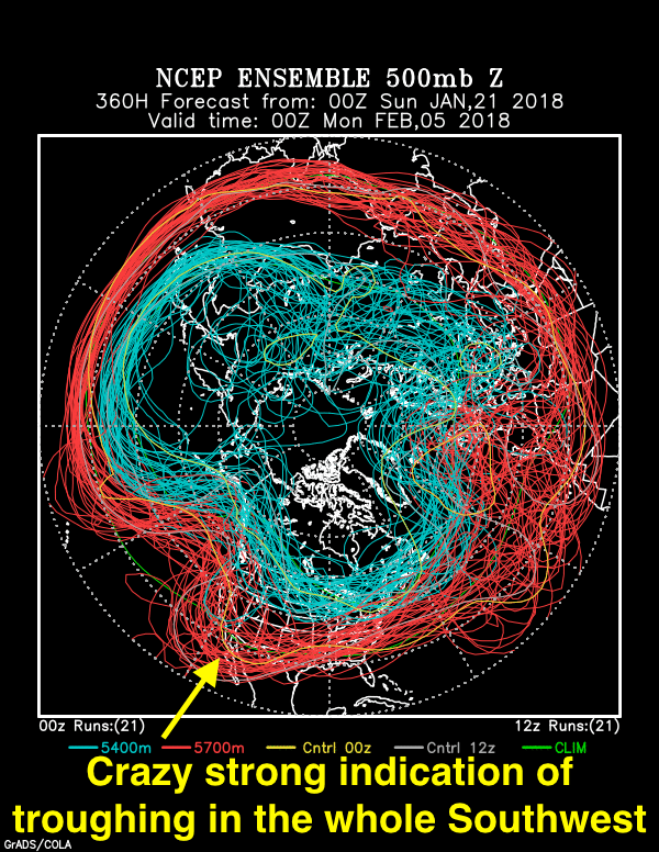
Below, the stunning, jaw-dropping evidence for this seemingly outlandish assertion in the form of an ensemble (spaghetti) plot generated by NOAA last night. I have followed these charts for almost ten years now, and I cannot remember when such a strong signal (clustering of flow lines) 15 days out has occurred before in our region.
So, excessively excited this morning when I saw it! Its been annotated with excitement text.
This troughy pattern begins to take place on January 30th. Until then, a strong but dry cold front with a lot of wind comes by in a few days, on the 25-26th.
Valid at 5 PM AST, February 4th. You can pretty much count on a trough hereabouts in two weeks. Since the blue lines, the colder portion of the jet stream, do not dip down this way so much, our troughiness likely would be in the form of something we call a “cutoff low.” A full latitude trough extending from the “blue jet” up there in Canada, instead of a “cut off”, would be excessively cold. We probably don’t want that anyway.
Yesterday’s clouds
The whole interesting, if excessively gray story is shown below:
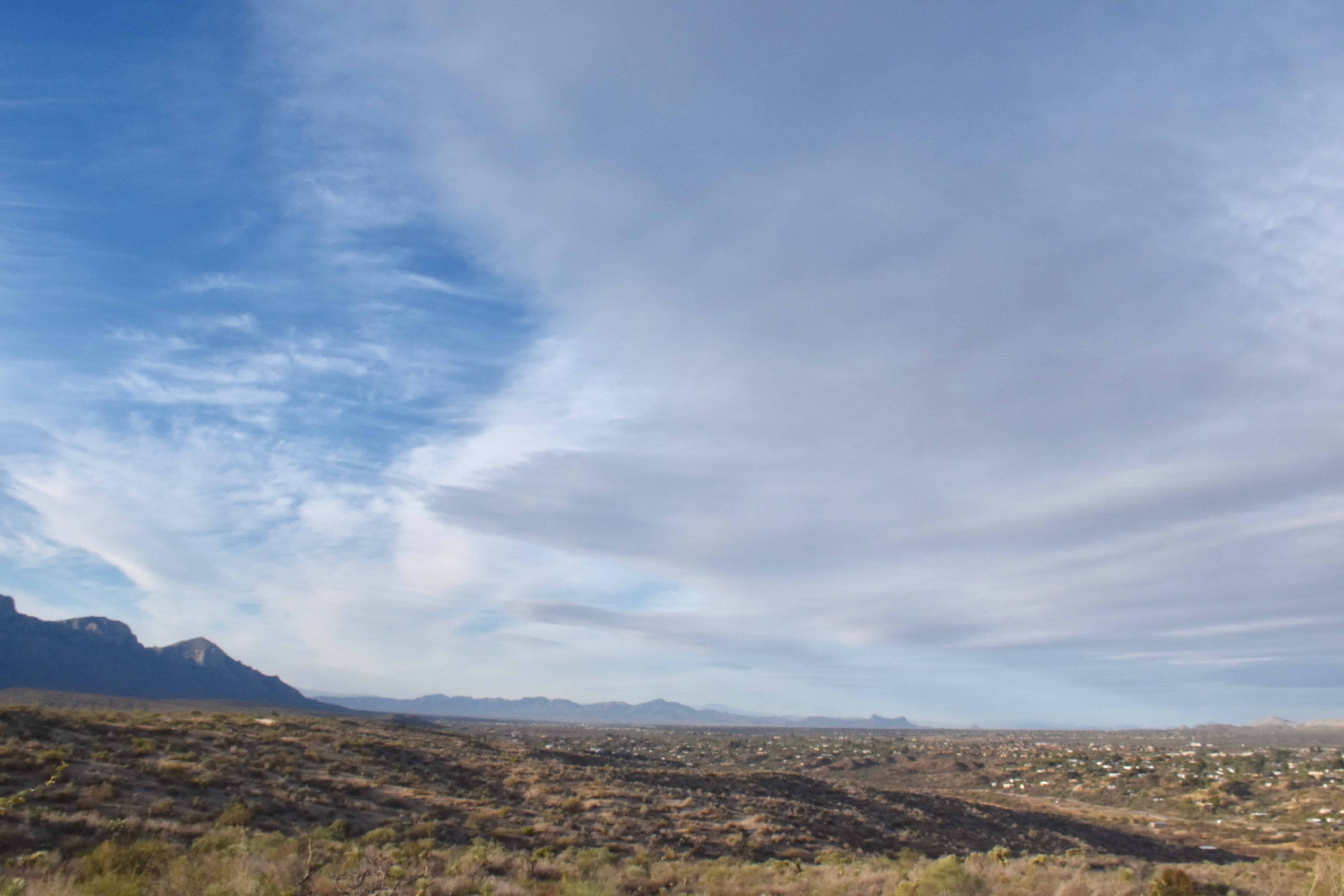
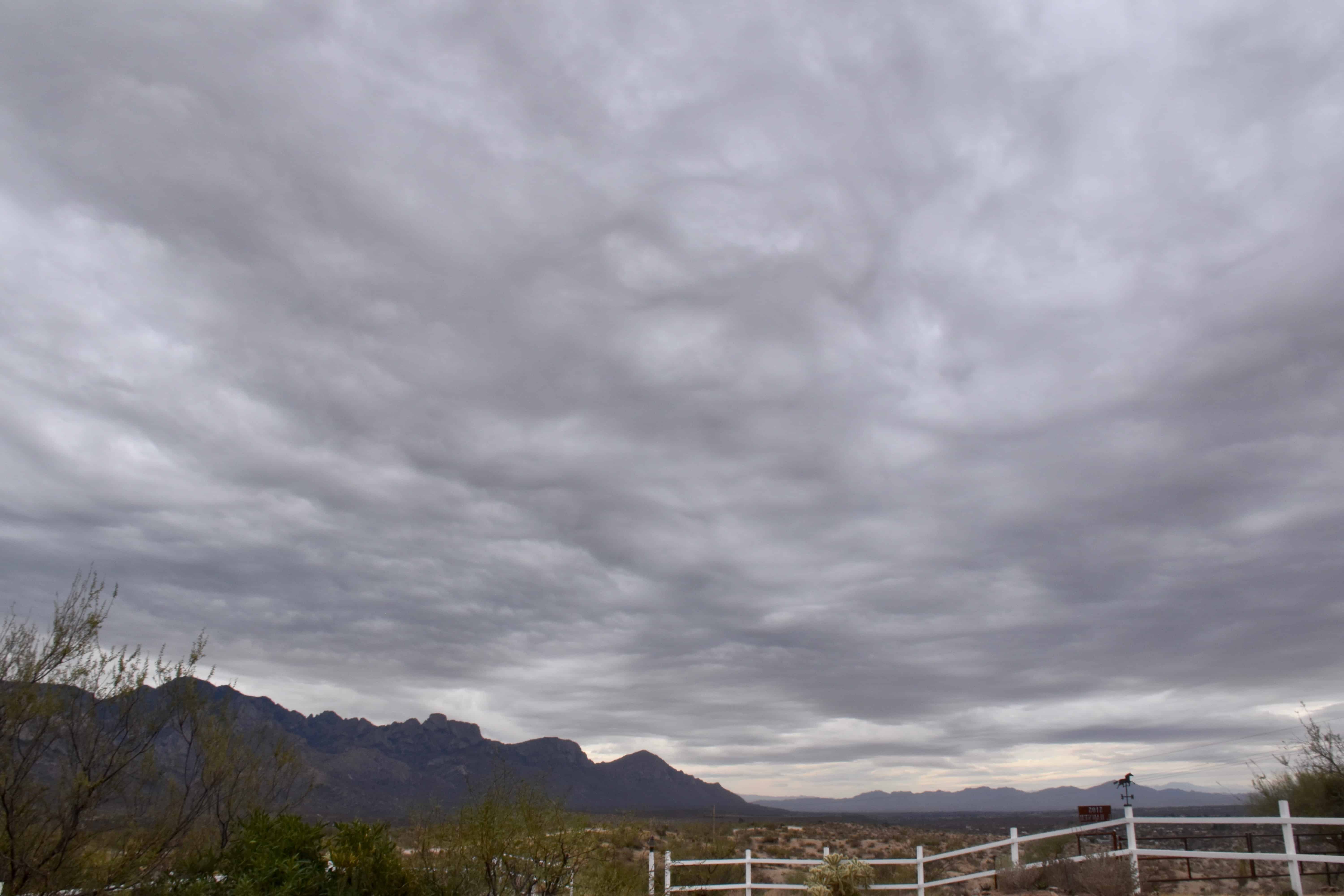
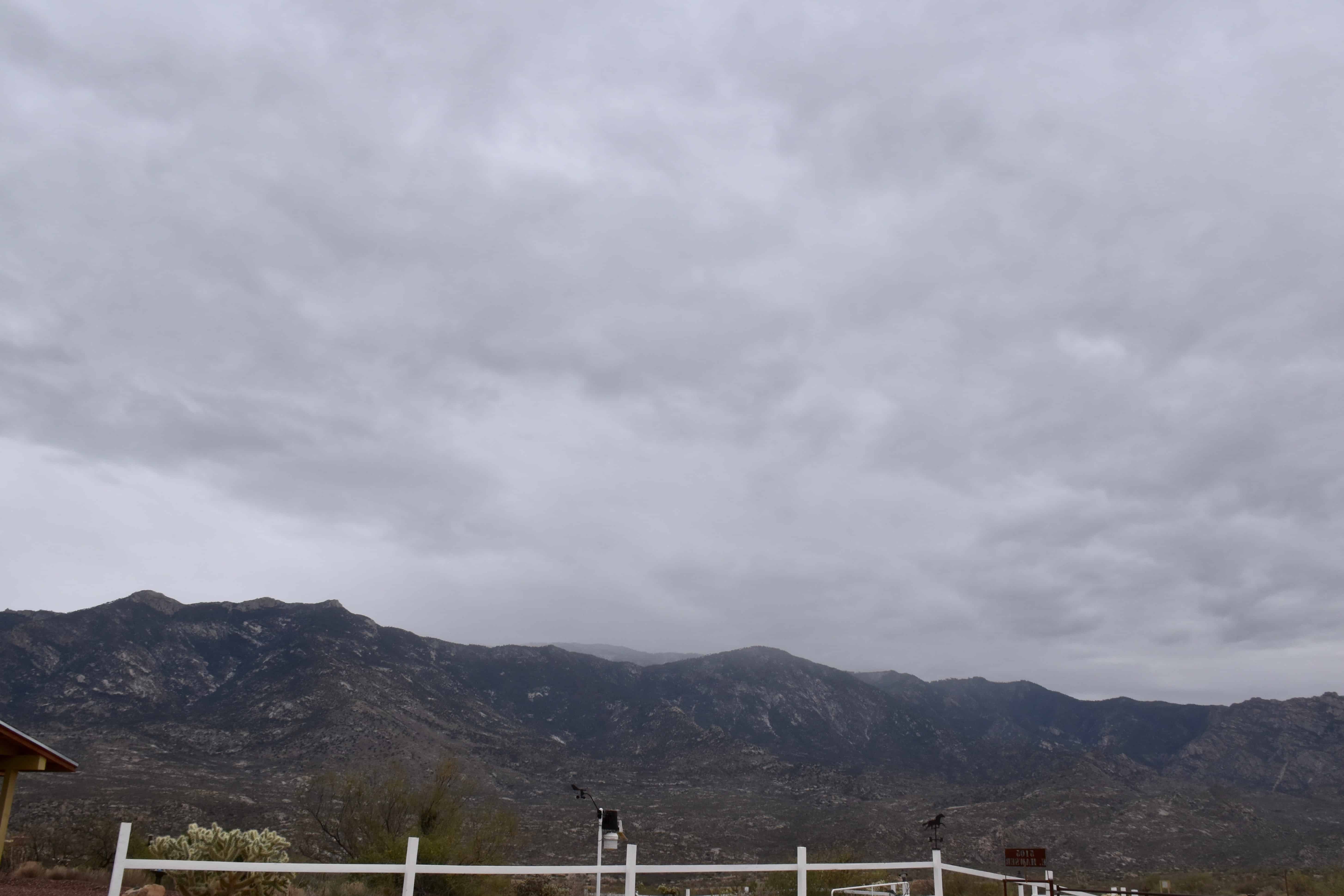
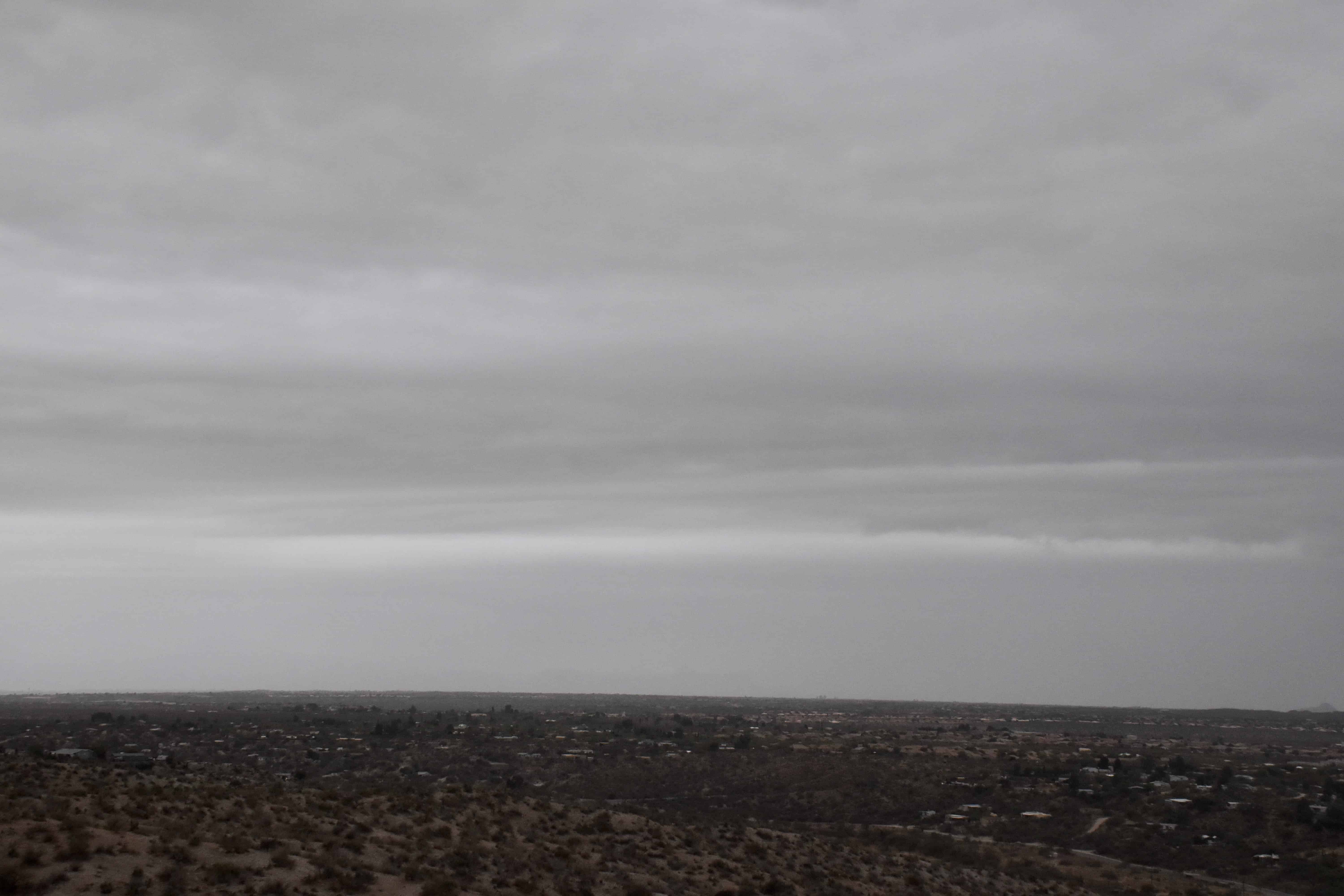
7:24 AM. It was breezy already, and with Cirrus underlain by Altocumulus lenticularis clouds in the lee of the Catalina Mountains, you knew that a storm day was ahead without turning on your favorite TEEVEE weatherman.8:53 AM. With Cirrus and Altocumulus spreading rapidly from the SSW, lenticulars downstream from the mountains, the wind gusting to 25-35 mph, you knew a great gray cloud day was in store!11:32 AM. Before long, an entire sheet of Stratocumulus spread over the sky, making you sure that rain would fall.12:50 PM. First drops begin to fall on Sutherland Heights. That layer of Stratocumulus appeared to be deepening as it approached from the SSW to where the tops were getting just cold enough upwind of us to produce ice and snow that melted into those sparse drops. Not enough ice /snow formed to hide the bases, though, in virga.1:26 PM. Snow begins to fall on the Lemmon.2:04 PM. Lower Stratocumulus clouds begin to show up below the original deck that overran us.
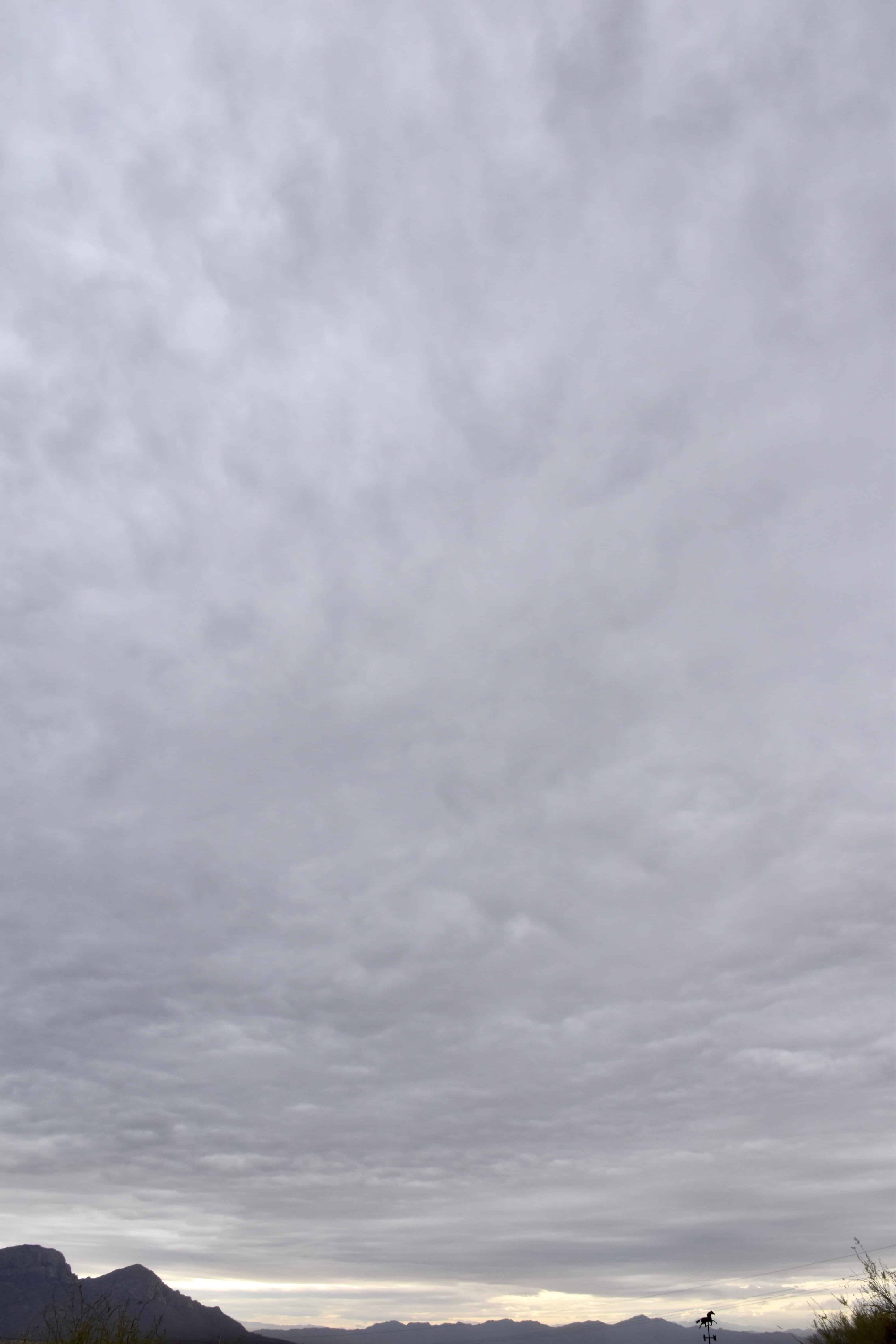
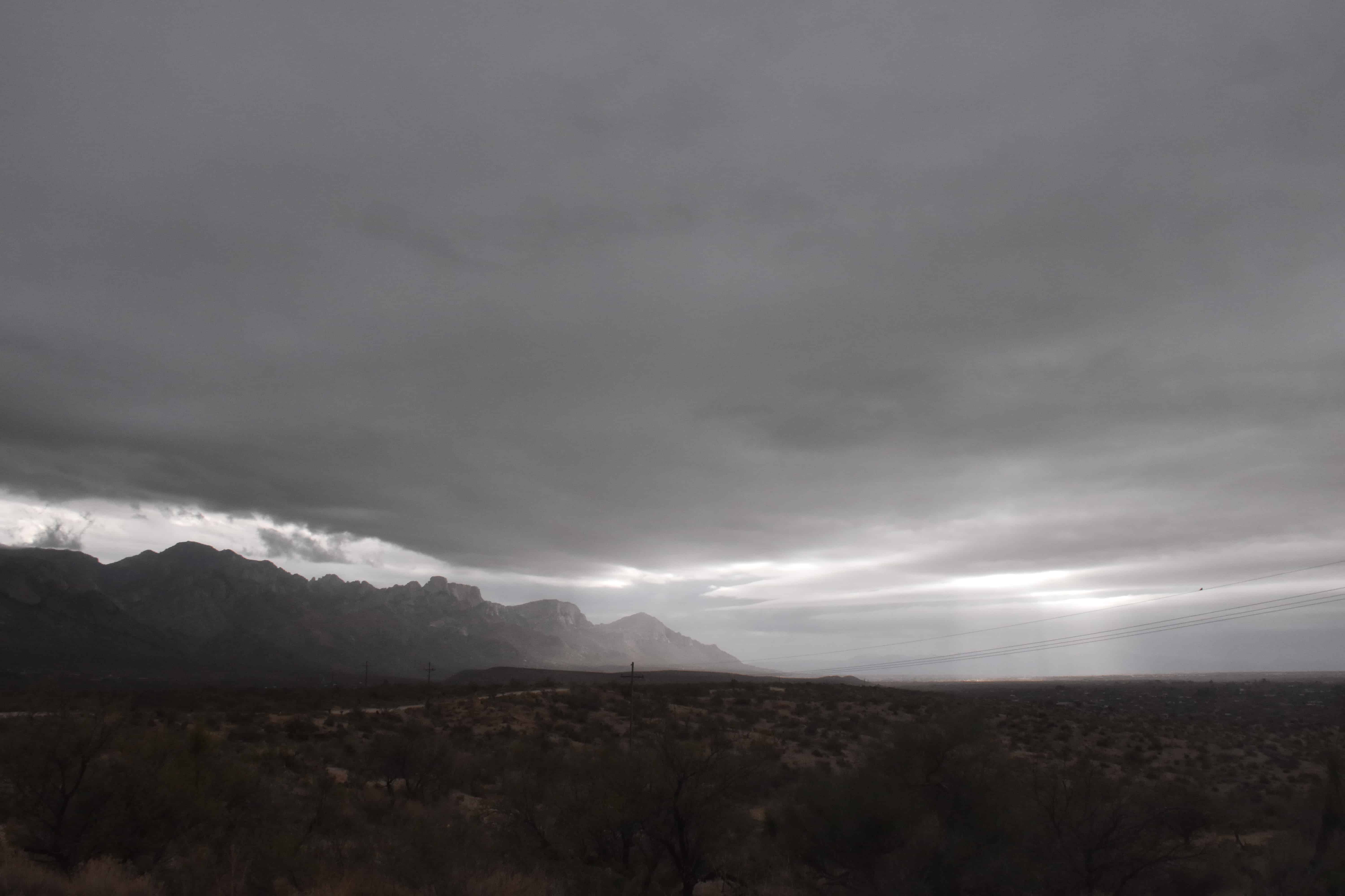
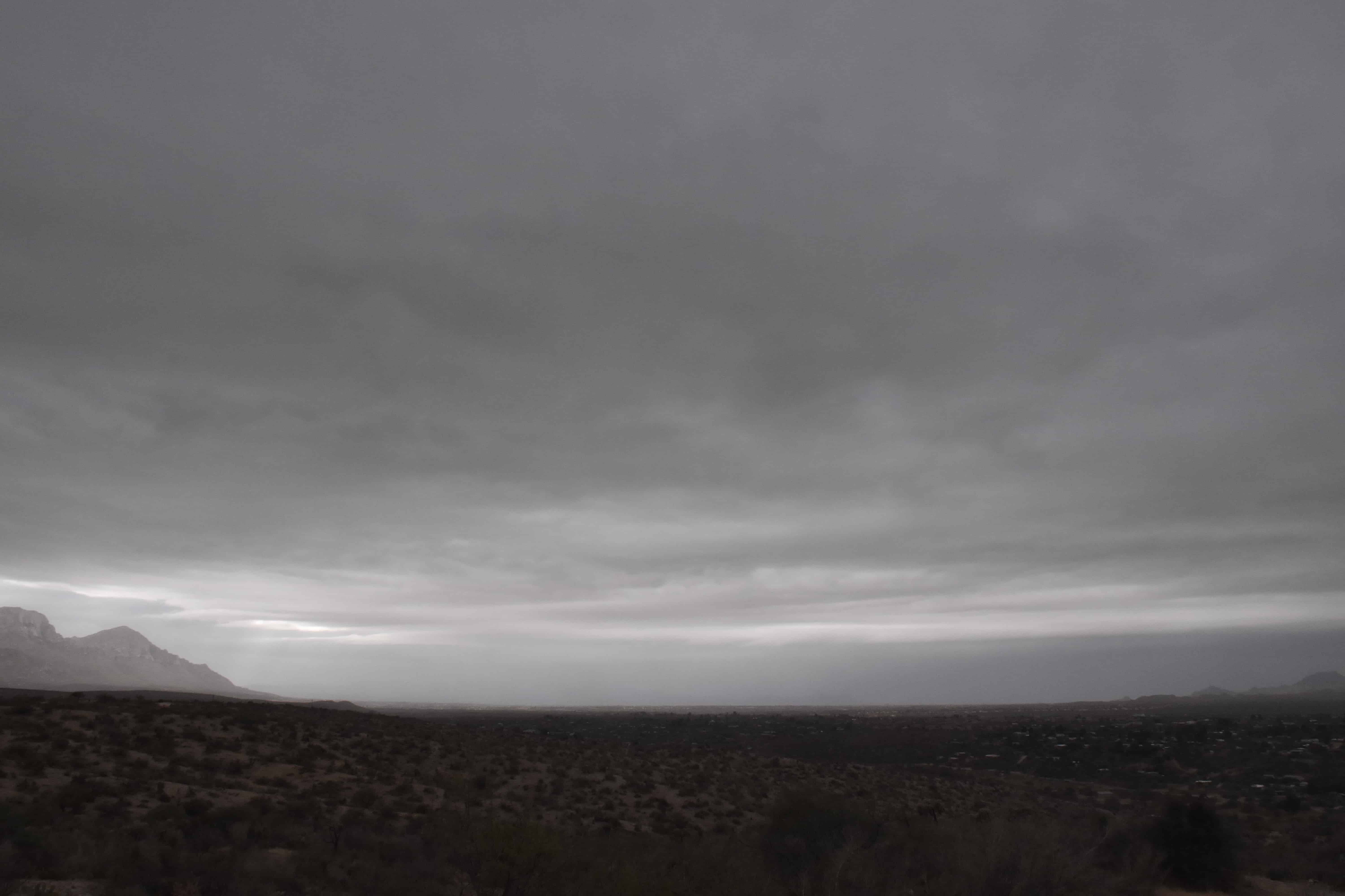
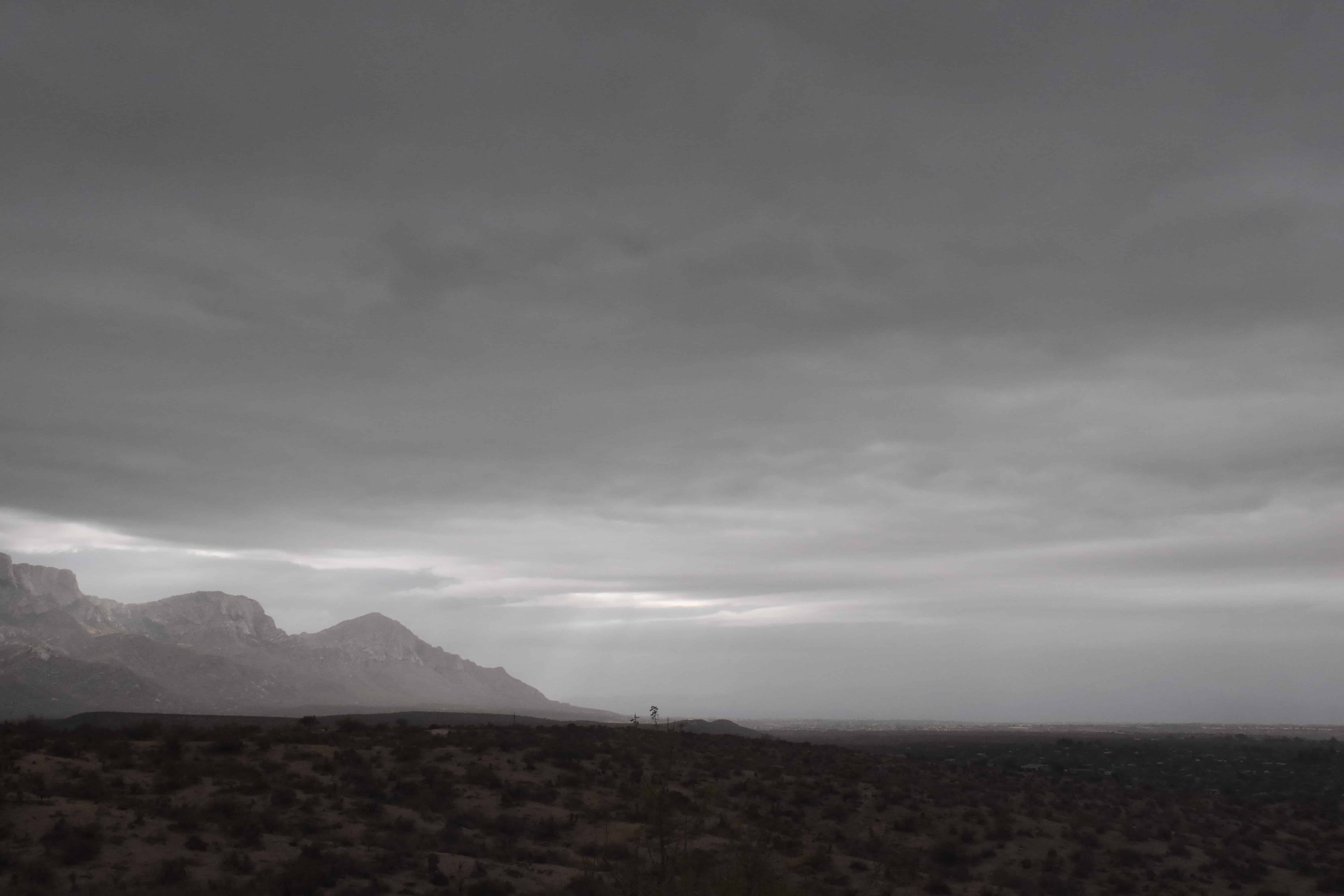
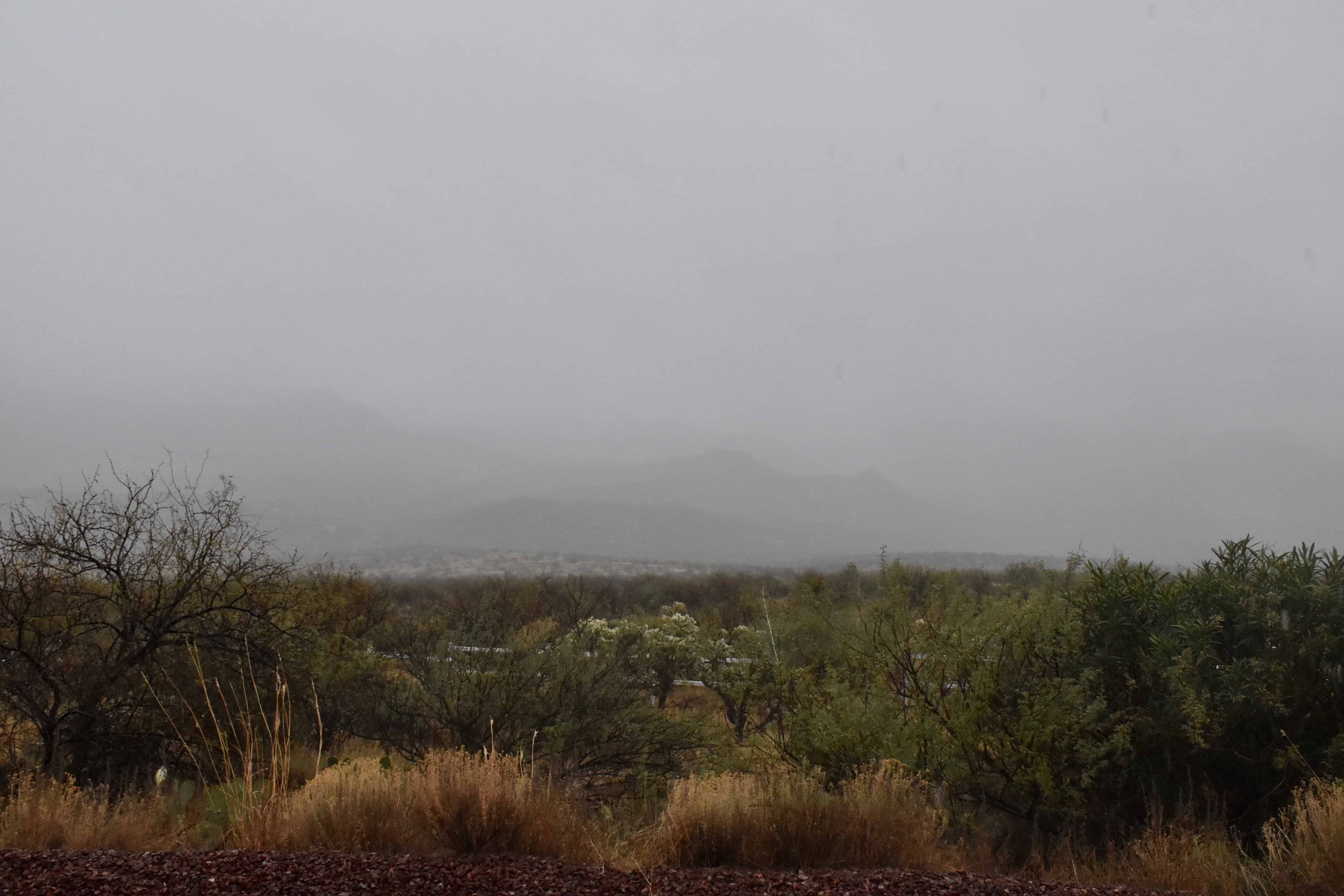
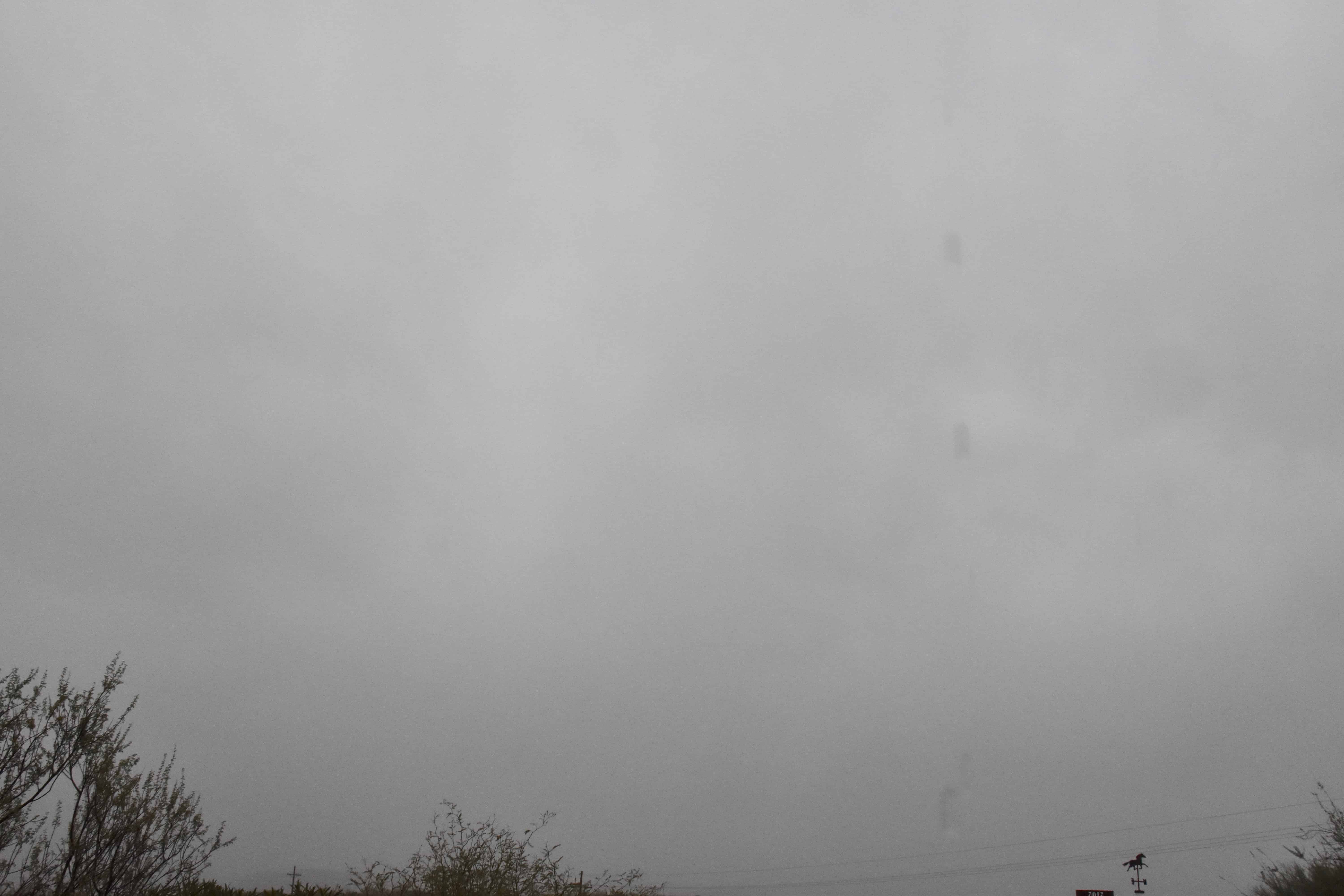
3:16 PM. Pretty and dramatic. Stratocumulus piling up over and upwind of our Catalina Mountains/Pusch Ridge.3:19 PM. Oh, so pretty.3:27 PM. Crazy, I know, but I thought these scenes were so pretty!3:28 PM. As that rain band approached there were some nice lighting highlights.3:40 PM. Here comes that rain band across Oro Valley/Marana.4:19 PM. A truly great scene for a desert; mountains partially obscured in precipitation.4:19 PM. Nimbostratus. Its hard to get a better photo of rainy Nimbostratus than this. Drops coming off the roof, NOT raindrops, can also be seen. This was at the peak of the rain, too! Very exciting.5:54 PM. Sunset Stratocumulus, hold the ice. Yet, that Stratocumulus was cold, way below freezing.
The weather way ahead
The title sums up where we are now. Will we go have more rain? Oh, yeah. But not right away, as you already know.
Author: Art Rangno
Retiree from a group specializing in airborne measurements of clouds and aerosols at the University of Washington (Cloud and Aerosol Research Group). The projects in which I participated were in many countries; from the Arctic to Brazil, from the Marshall Islands to South Africa.
View all posts by Art Rangno