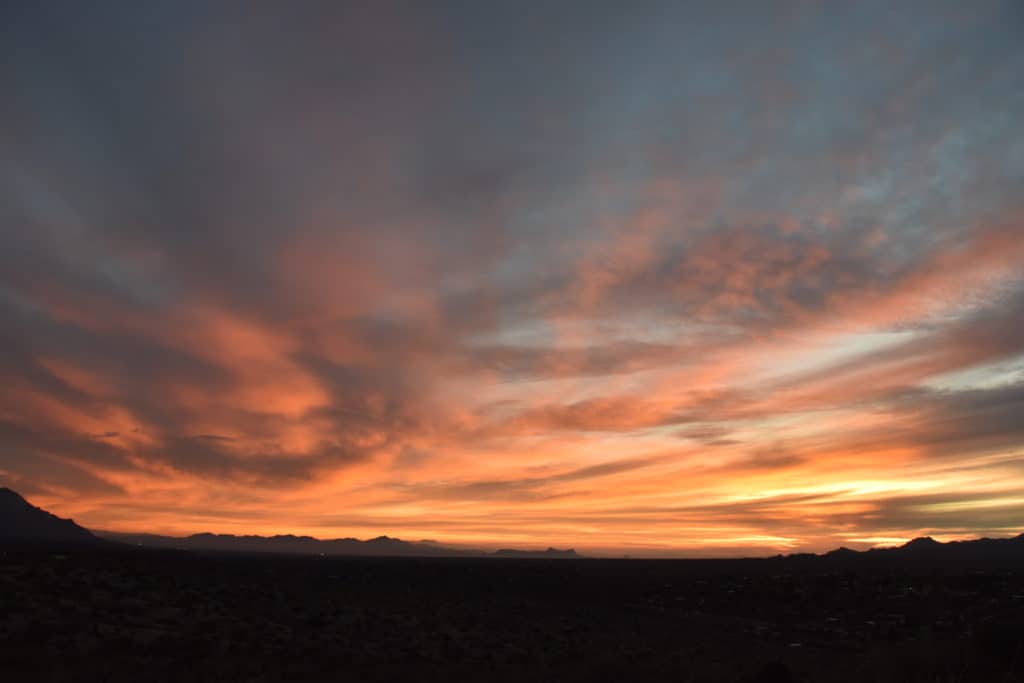
Have cameras ready for interesting clouds today as yet more storms approach. Winds at 500 mb (around 18,000 feet above sea level) are forecast to approach 100 kts by tonight (oops, TOMORROW NIGHT! Egad). With winds like that, likely will be some nice lenticulars around to add to your collection. Oh, I already see one downstream of the Catalinas….
Maybe some photos later if the upload problem can be resolved.
Its not resolved…. But, trying to look at the bright side, while this ONE photo was uploading, I got some more coffee, read a book (Cadillac Desert, Marc Reisner, and got a good start on, Mythical Rivers by Melissa Sevigny–both highly recommended for cloud maven readers.

Some more on the upcoming rain and wind event in the next 24-36 h:
From this keyboard, 10% chance of less than a trace (pitiful forecast), in other words, a zero from this storm, and 10% chance of more than 0.40 inches. The average of those two, which helps center a forecast in the forecaster’s mind, great or small, would be, say, 0.21 inches.
But the wind max during this storm event will be the most “interesting” part of it: 10% chance of puffs less than 35 mph, 10% chance of more than 65 mph , in this forecaster’s opinion. The average of those would lead me to think that very momentary gusts will reach 50 mph (averaging those extremes to center a forecast). So, the wind in the next 24-36 h is really the most interesting thing to keep an eye on; stuff will blow around, shingle fragments likely to come off. This is NOT a NWS forecast.
The End
———————
1“Puffs”: almost instantaneous blasts of a few seconds.