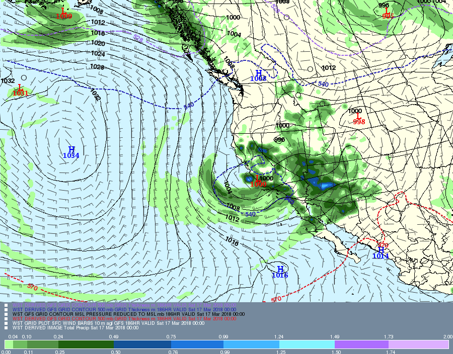
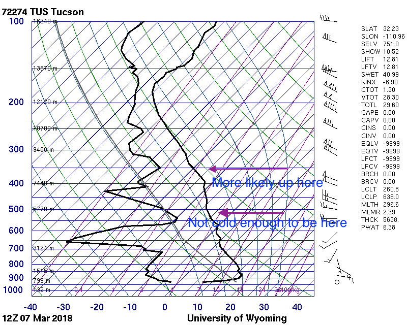
No NWS sounding from the U of AZ Weather Department yesterday afternoon, so’s we can’t really tell with solid data what the temperatures of yesterday’s frosty clouds were.
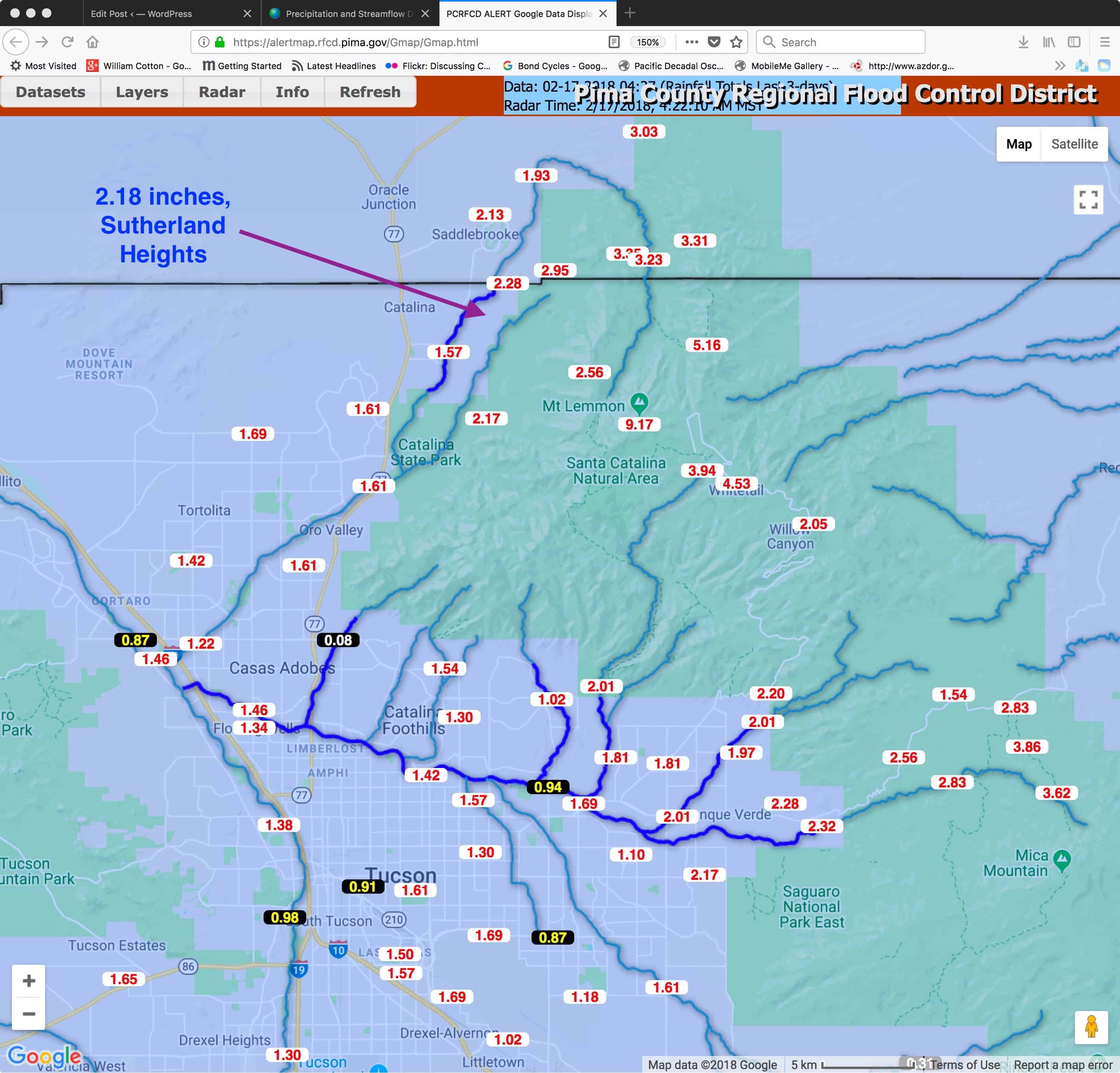
However, with a max here in the Heights of Sutherland of 71°F, and with a dry adiabatic lapse rate to the bottoms of the clouds (as is always the case on sunny afternoons with Cu), if we estimate how high the bottoms were with any accuracy we can get that bottom temperature.
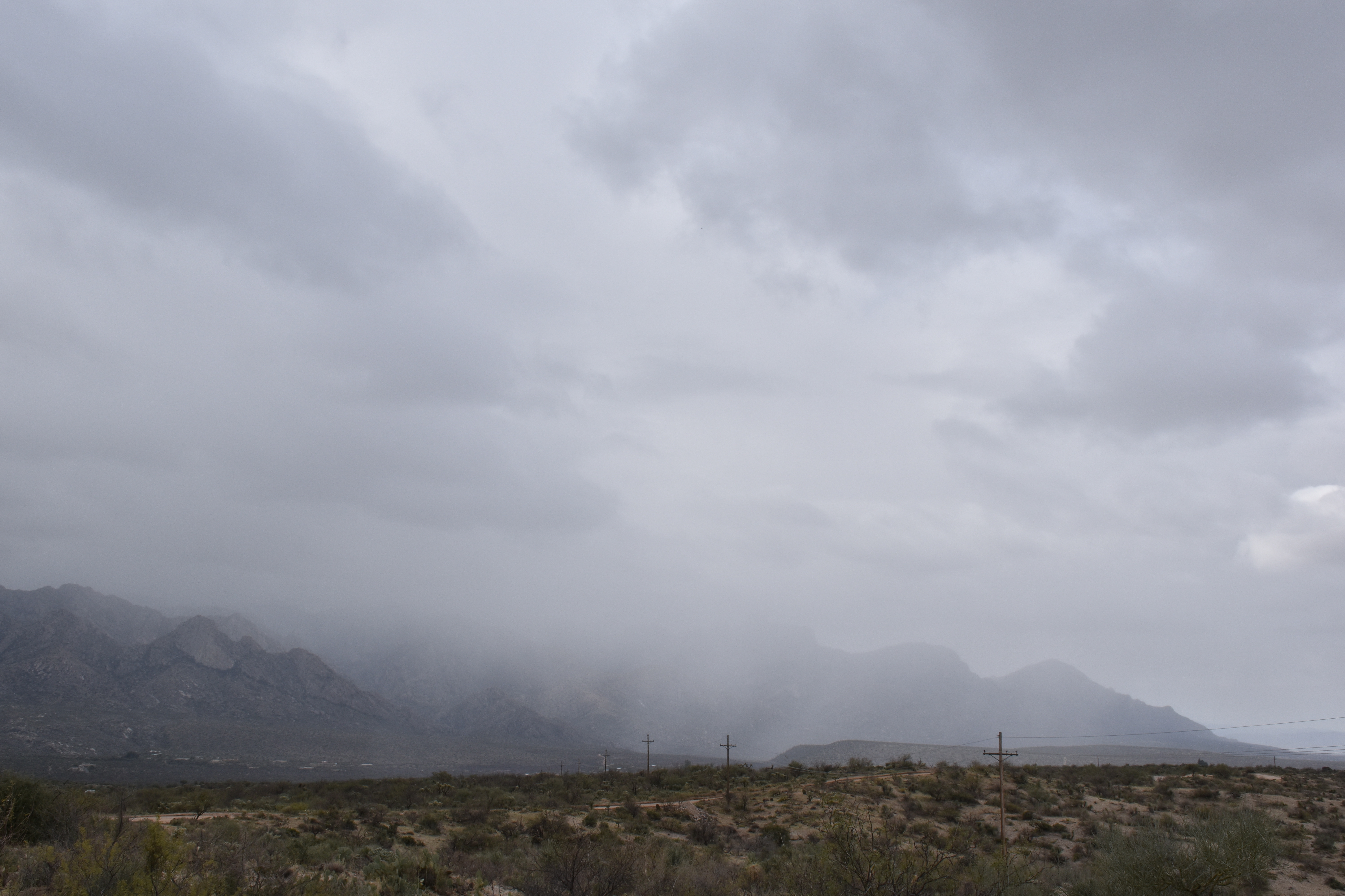
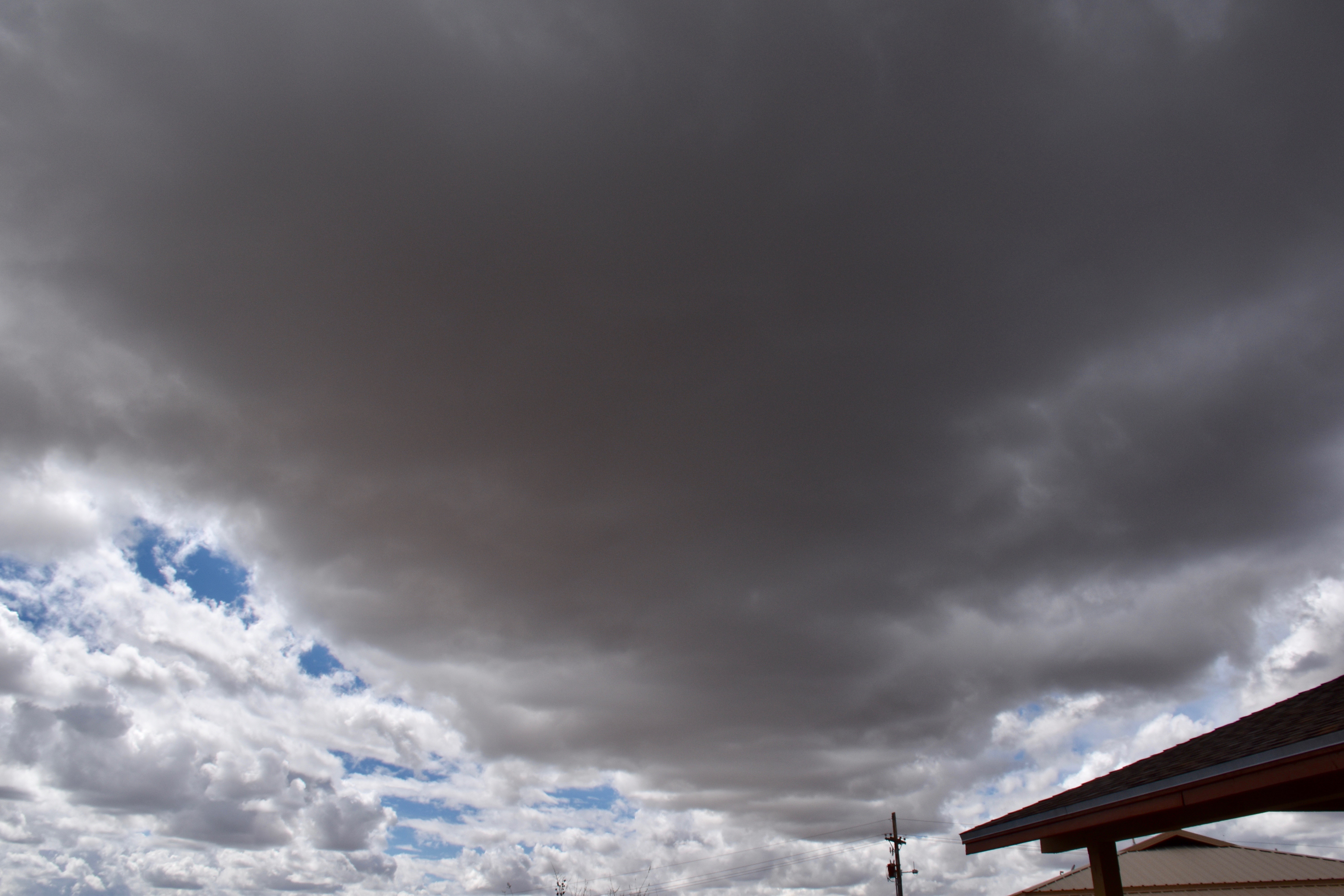
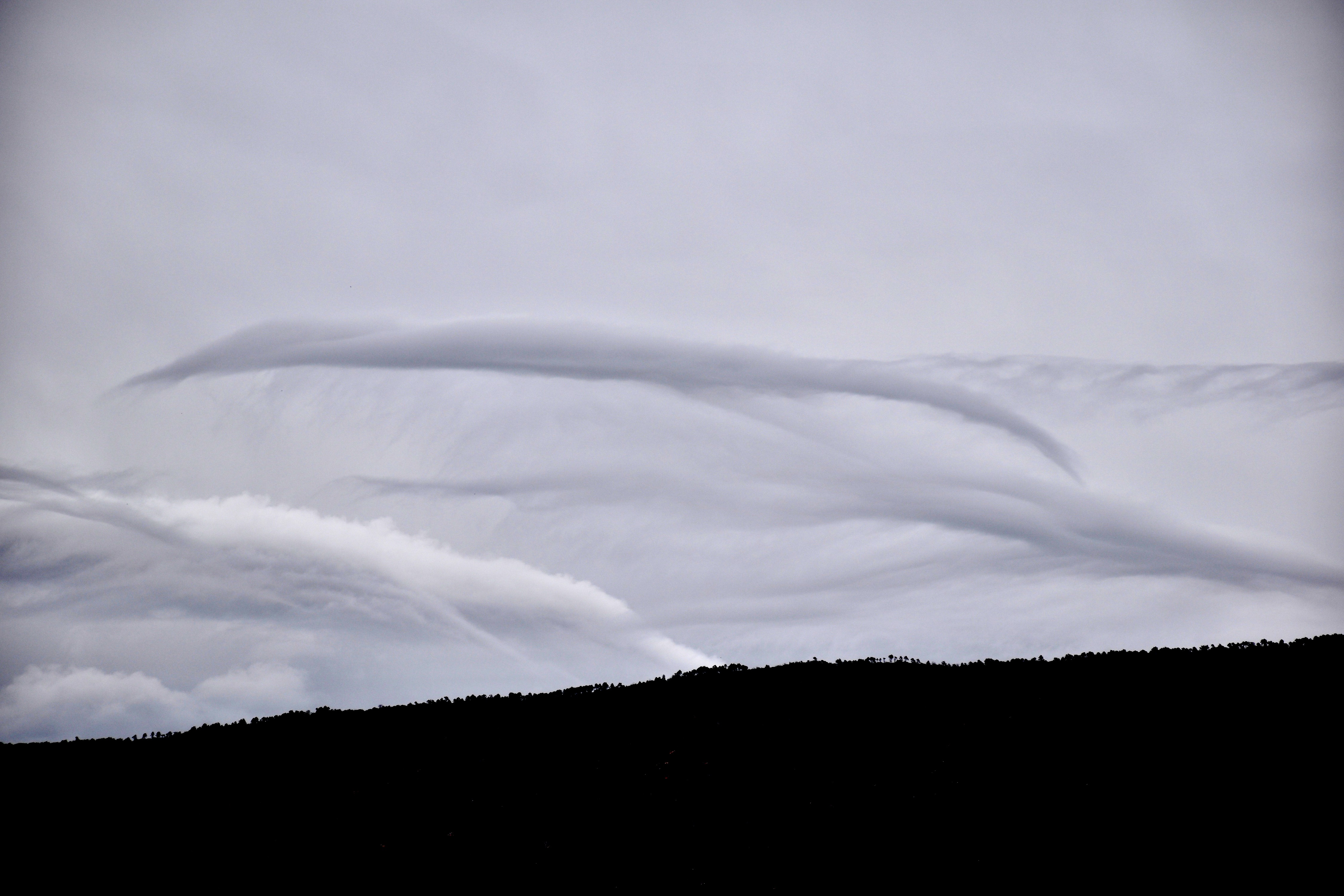
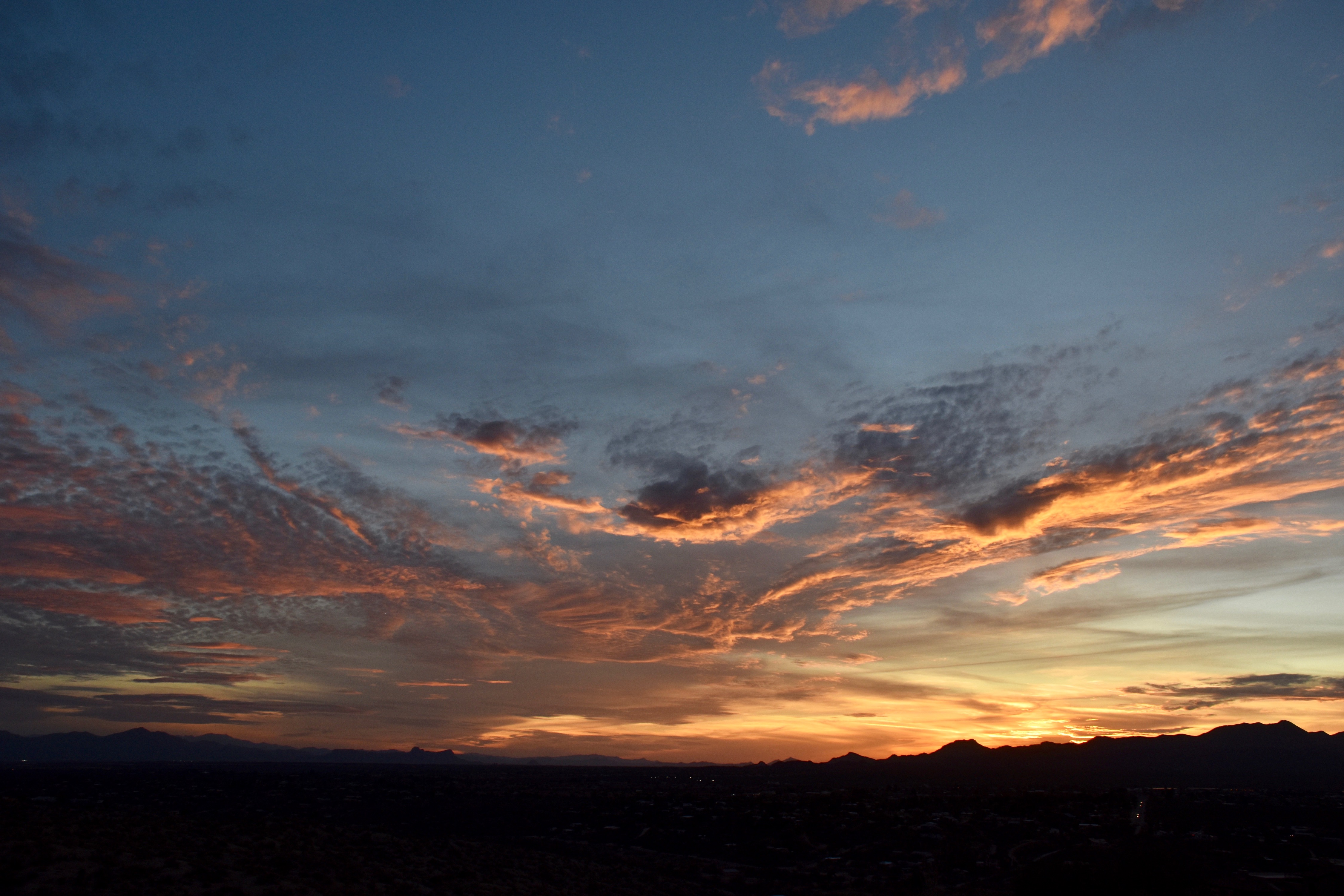
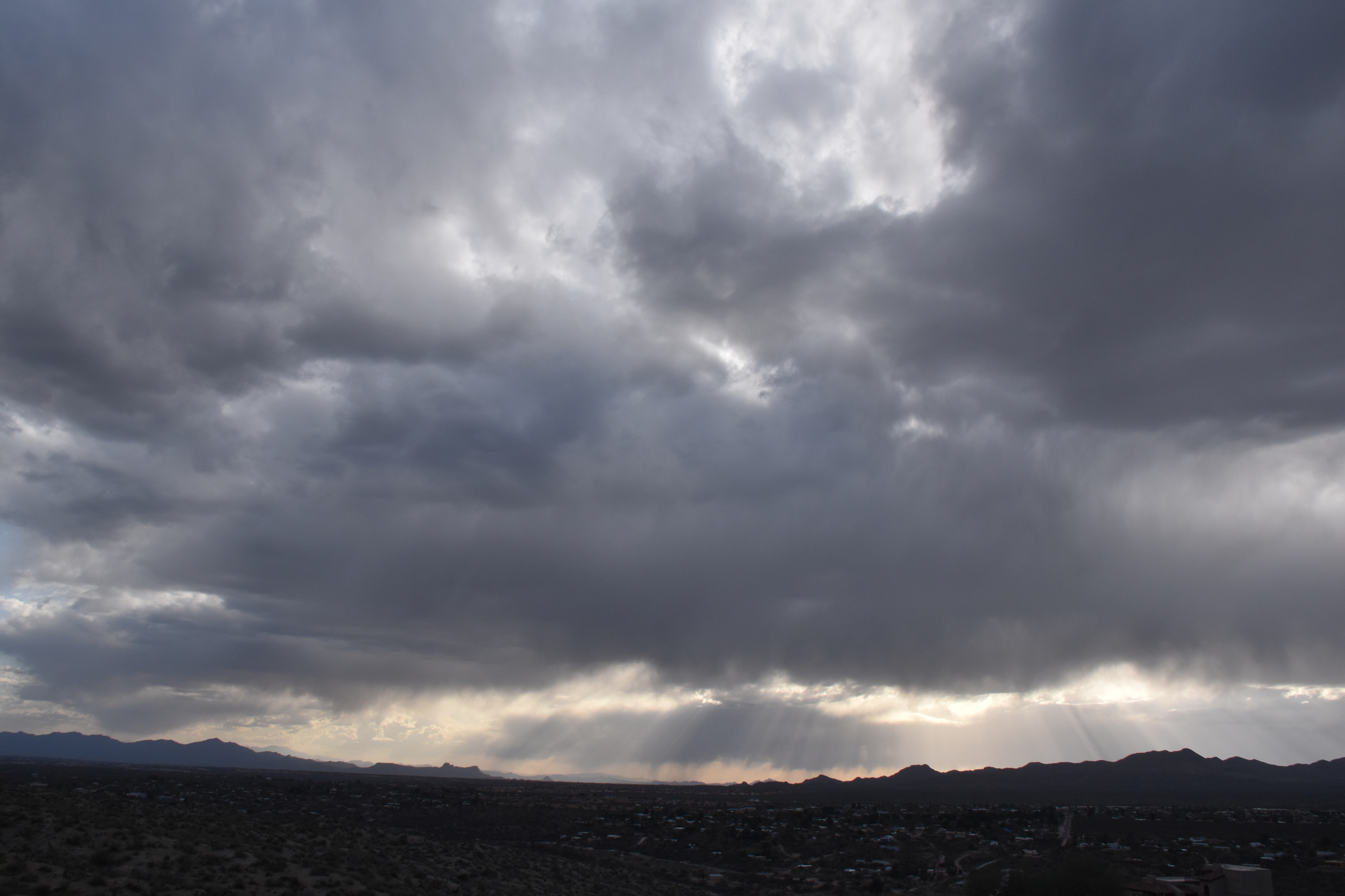
You already know as a well-developed cloud maven person that they were WELL below freezing which could see by noticing how far the snow virga extended below the bases of the Cumulus, at least 3,000 feet. and more from the larger clouds later on. So we have something,
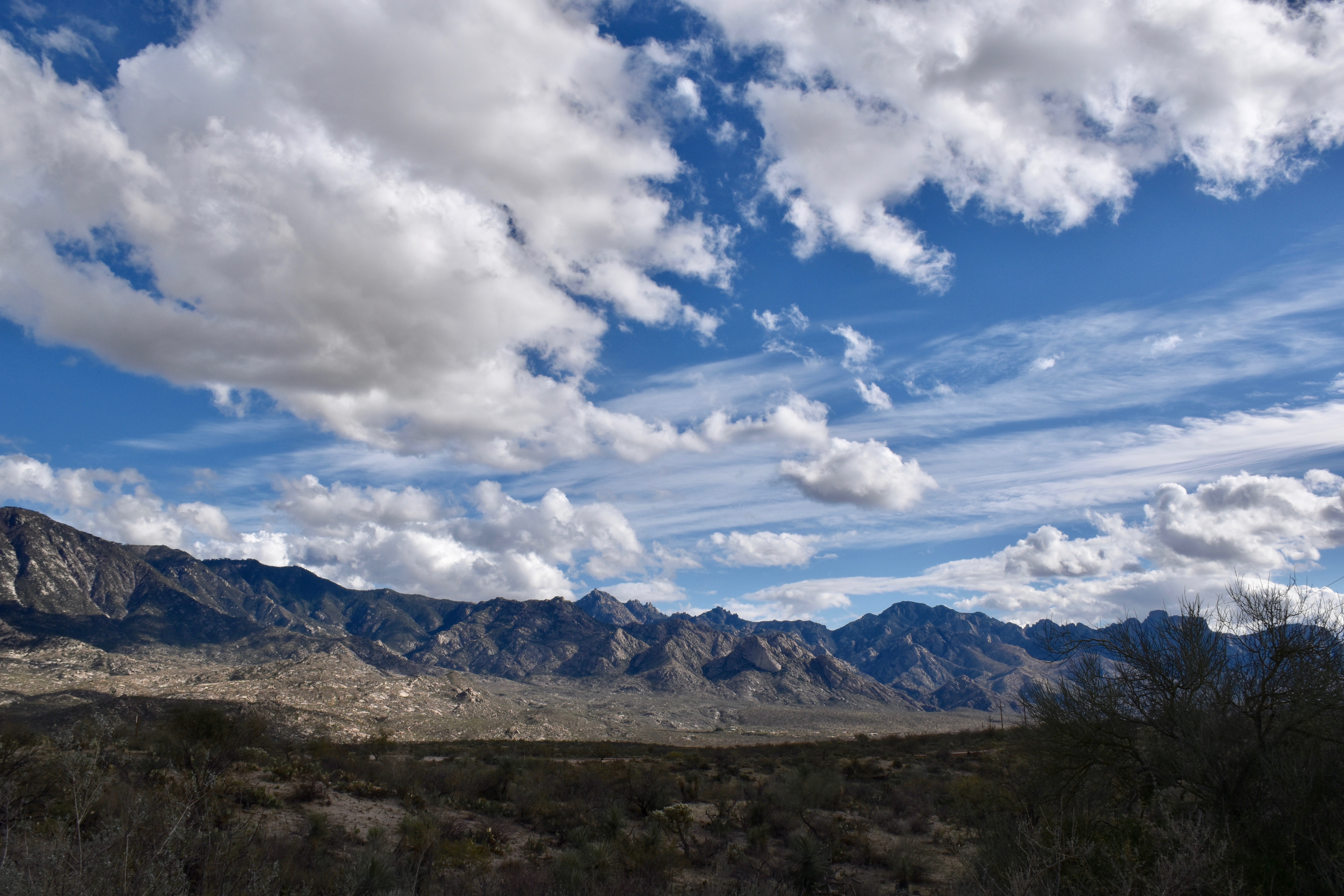
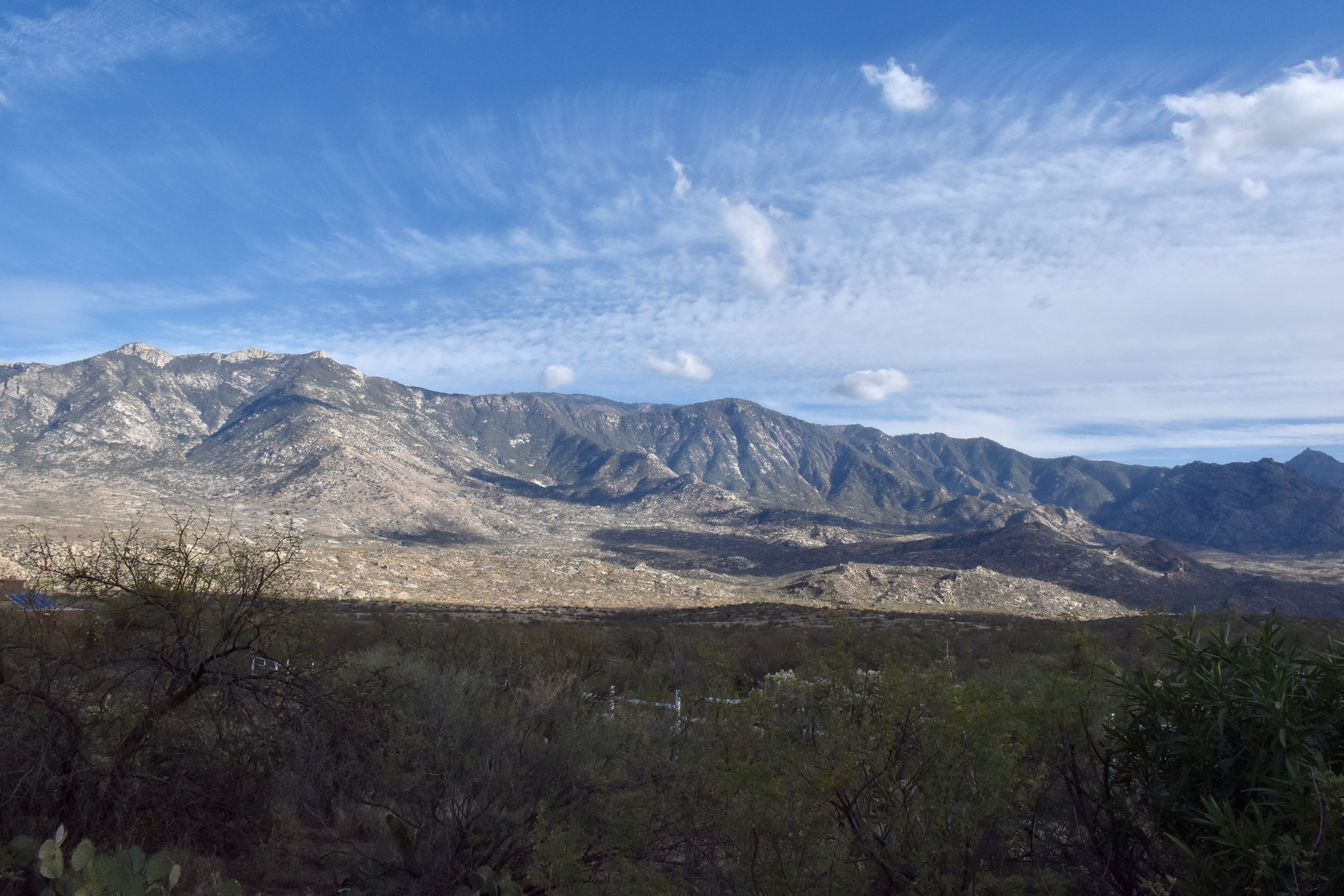
Let’s say bases were at 14,000 feet above the ground over Catalinaland–they were way above Ms. Mt. Lemmon at 9,000 feet which you could probably tell. That would make the bases at about 16,000 to 17,000 feet above sea level in the free air, pretty darn high above us.
From a ground level of 3,000 feet, and with the dry adiabatic lapse rate of 5.4°F per 1000 feet, that would make the cloud bottoms a cold, cold, -2°F, or about -17° to -18°C! COLD! Then, tops, of clouds only 3,000 feet thick (about 1 km), would be -28° to -30°C (assuming a mix of the dry adiabatic rate with the “moist adiabatic” rate, given yesterday’s conditions, or about 4° per 1000 feet, “plus or minus.”
Addendum–corrections, hope nobody see’s ’em:
Later analysis and the next morning’s NWS sounding from the U of AZ suggests that bases were closer to -10°C because they were not as high as CMP estimated. Rather they were closer to 12,000 feet ASL. Tops would not be quite as cold, too, more like -25° C and colder in the deeper clouds, plenty cold enough for ice in even the small clouds, and for the long snow virga trails.
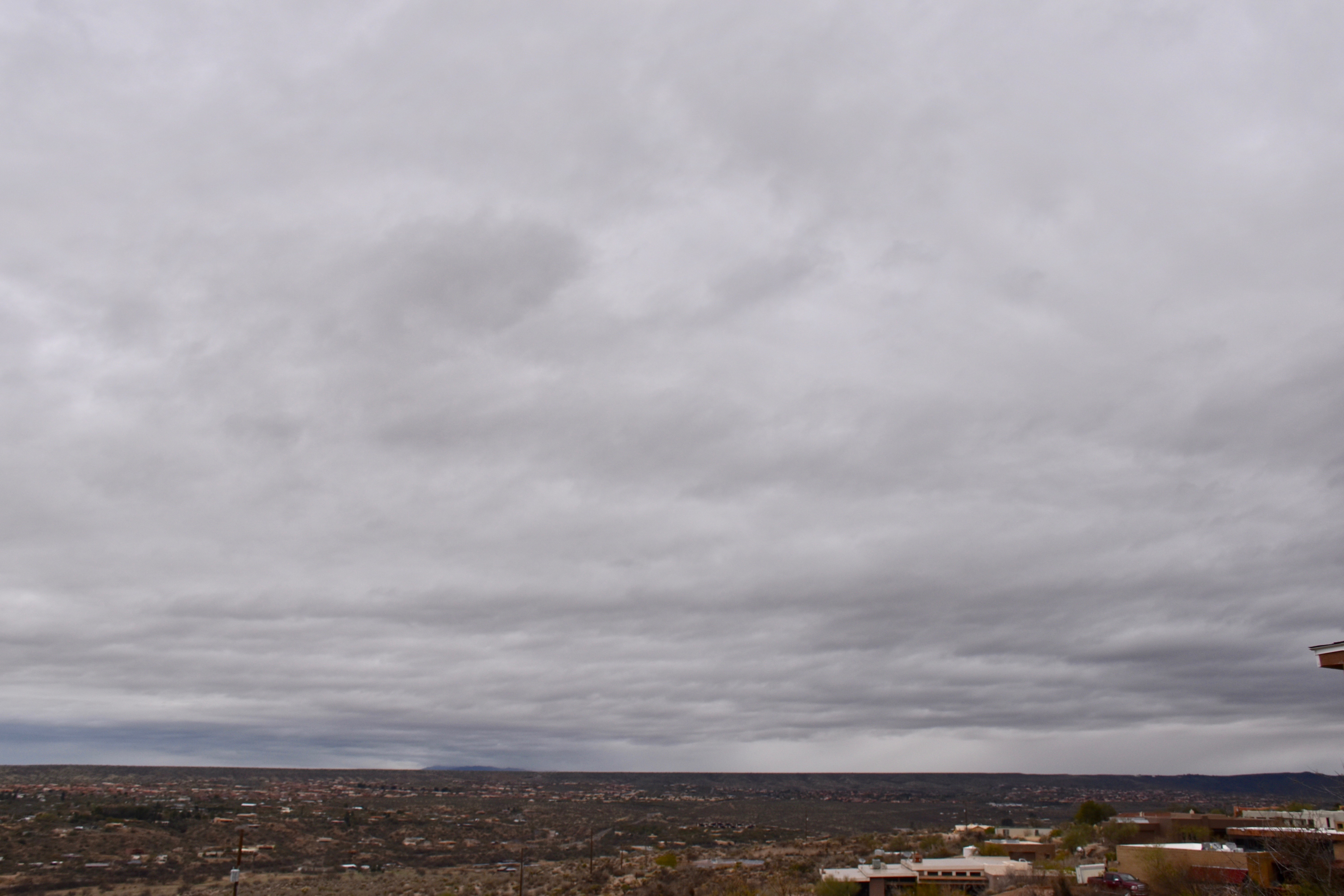
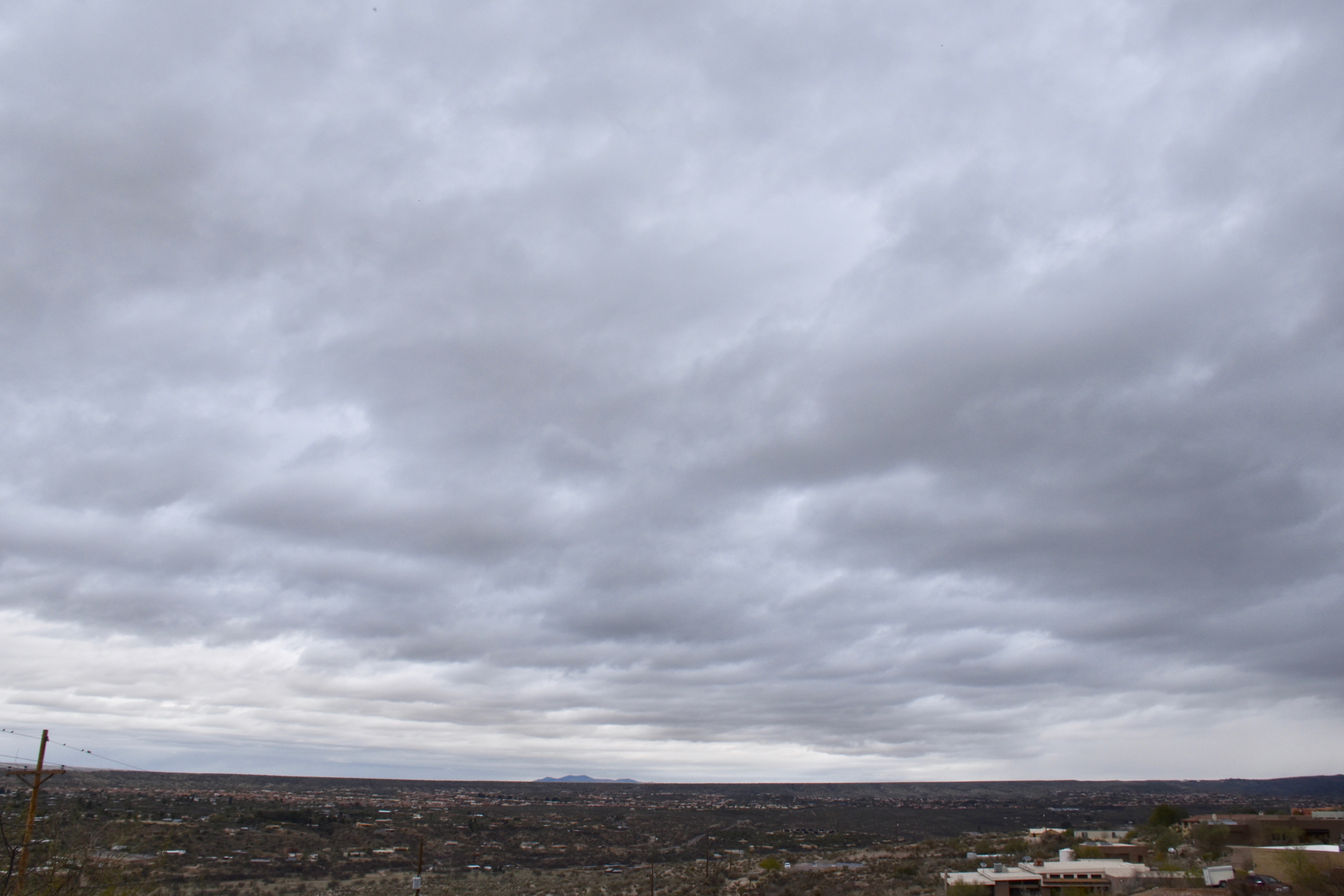
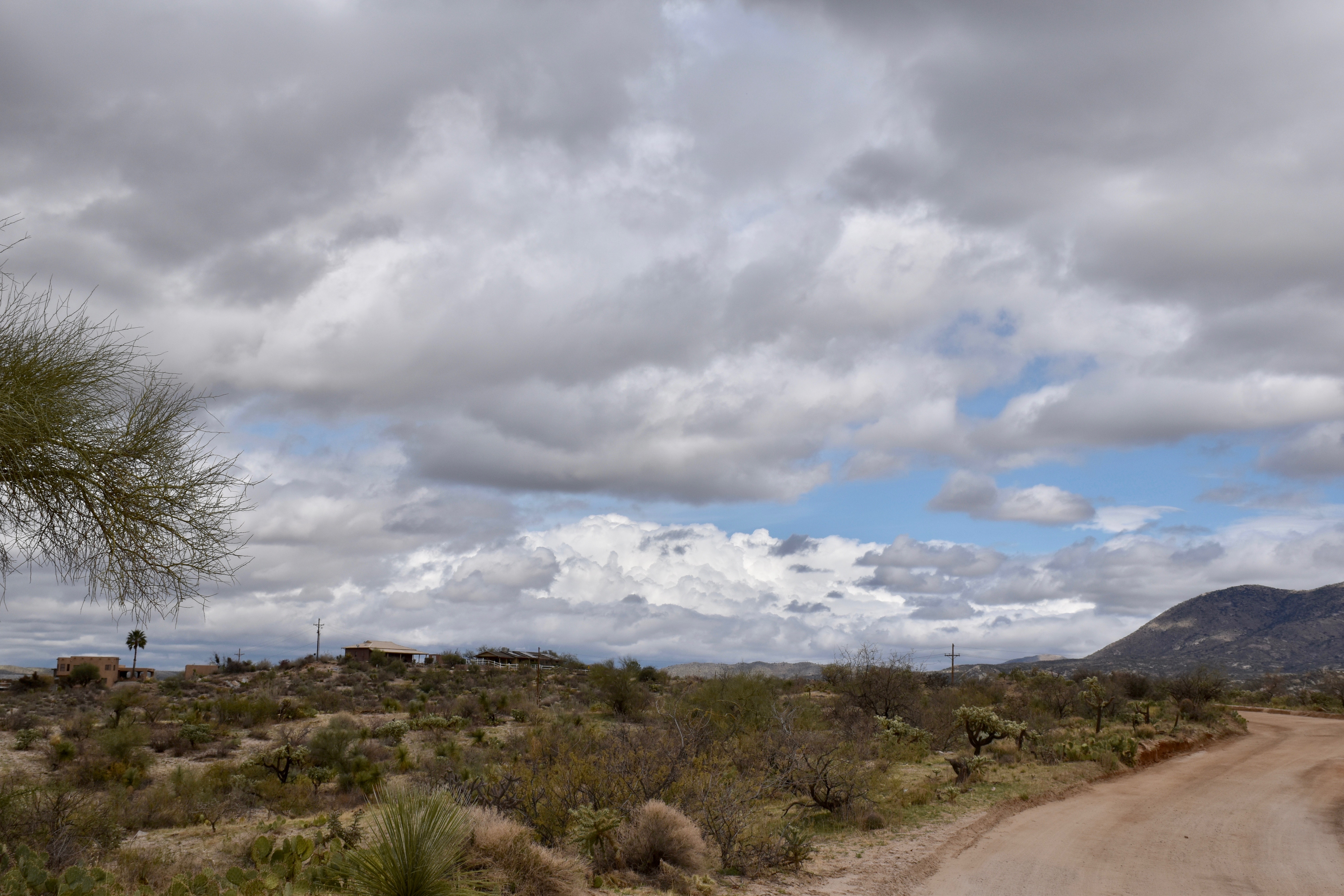
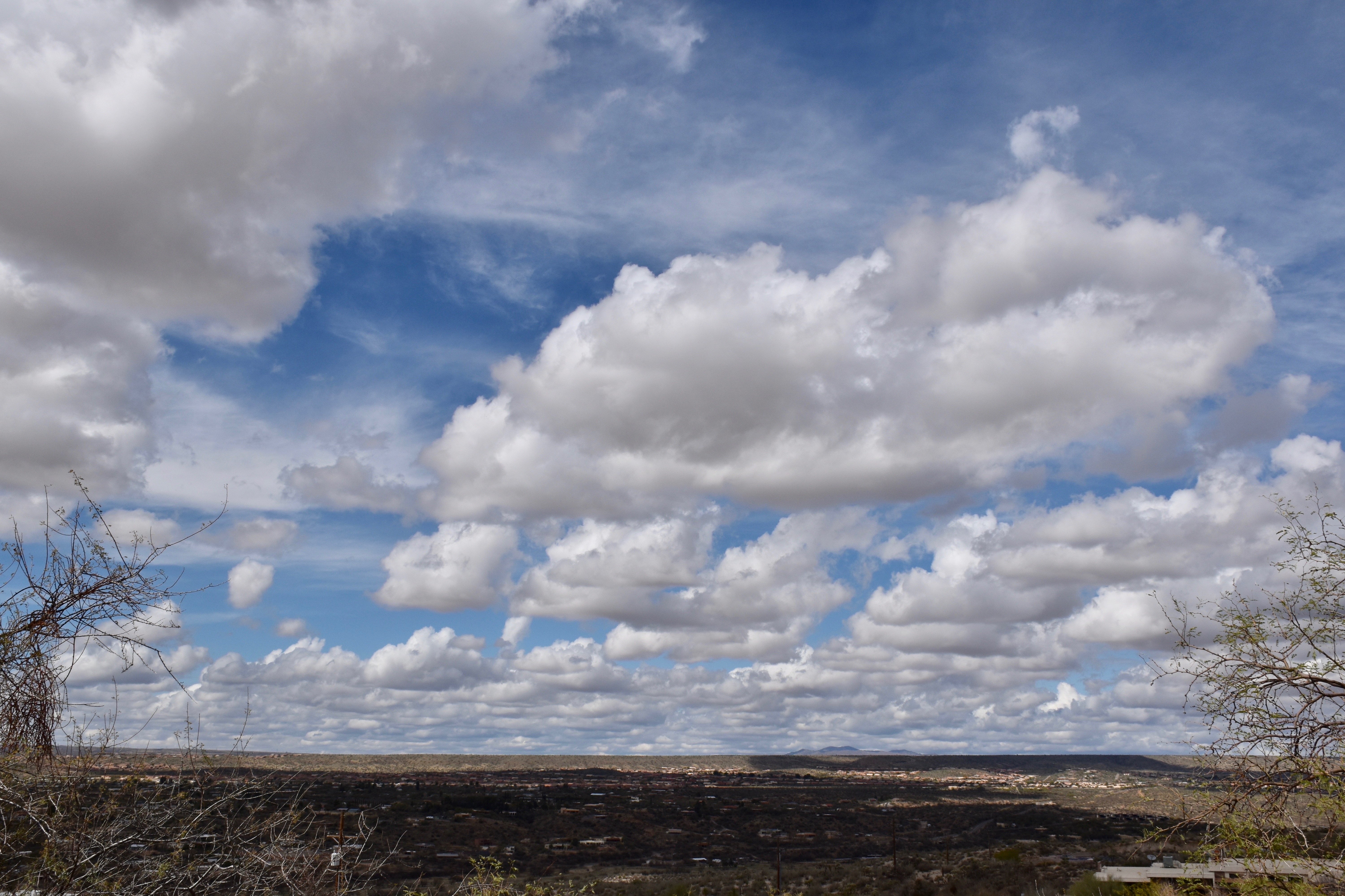
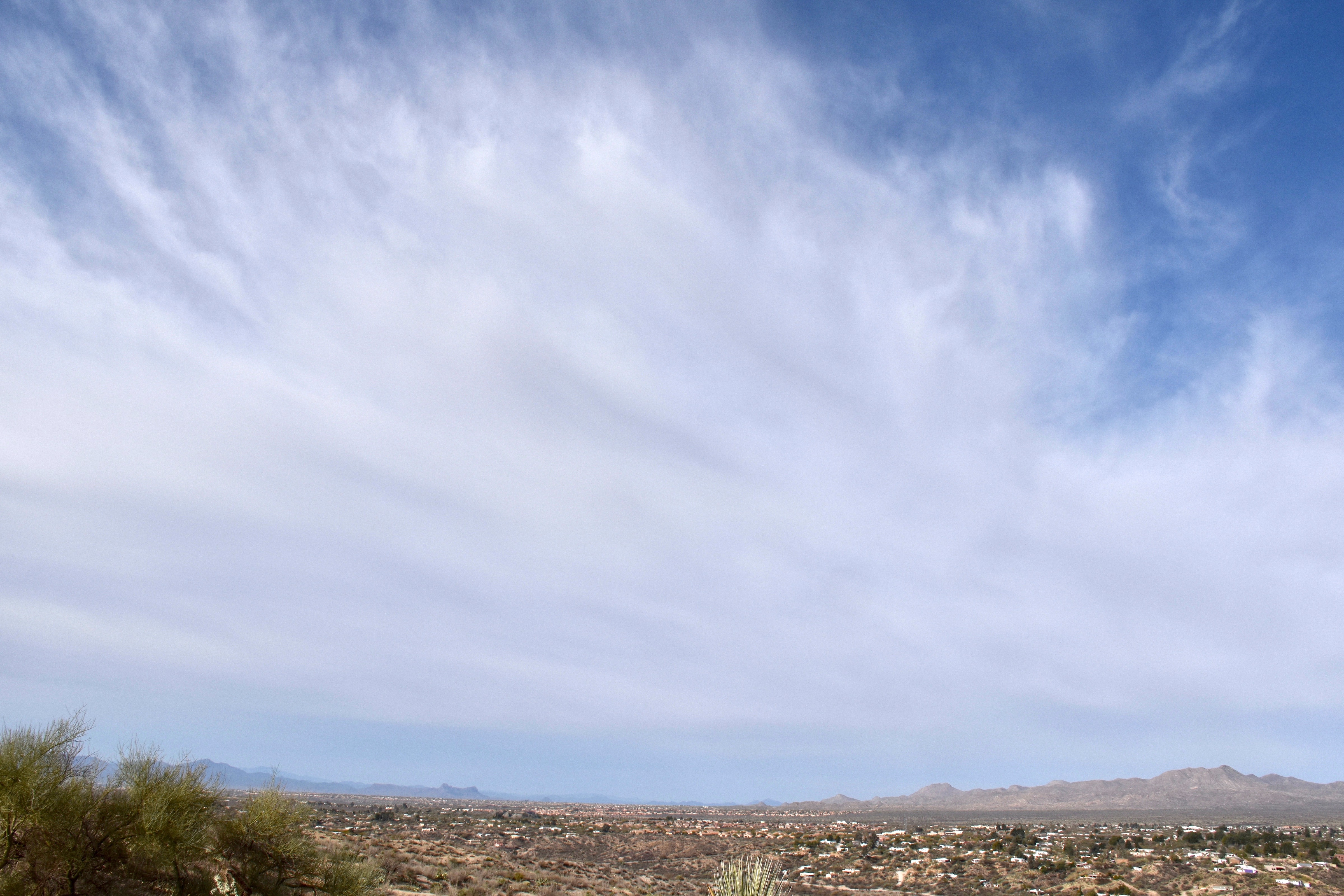
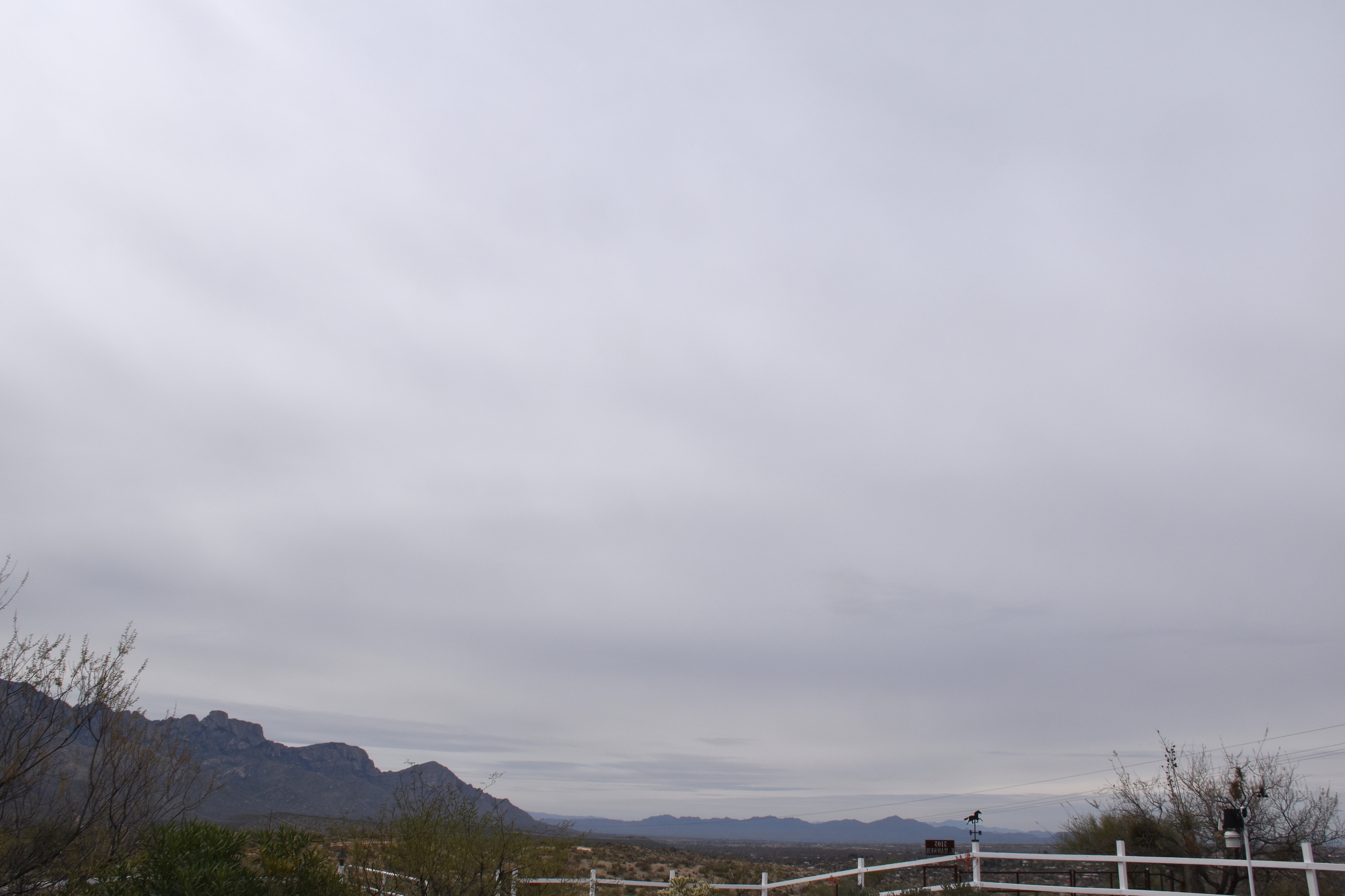
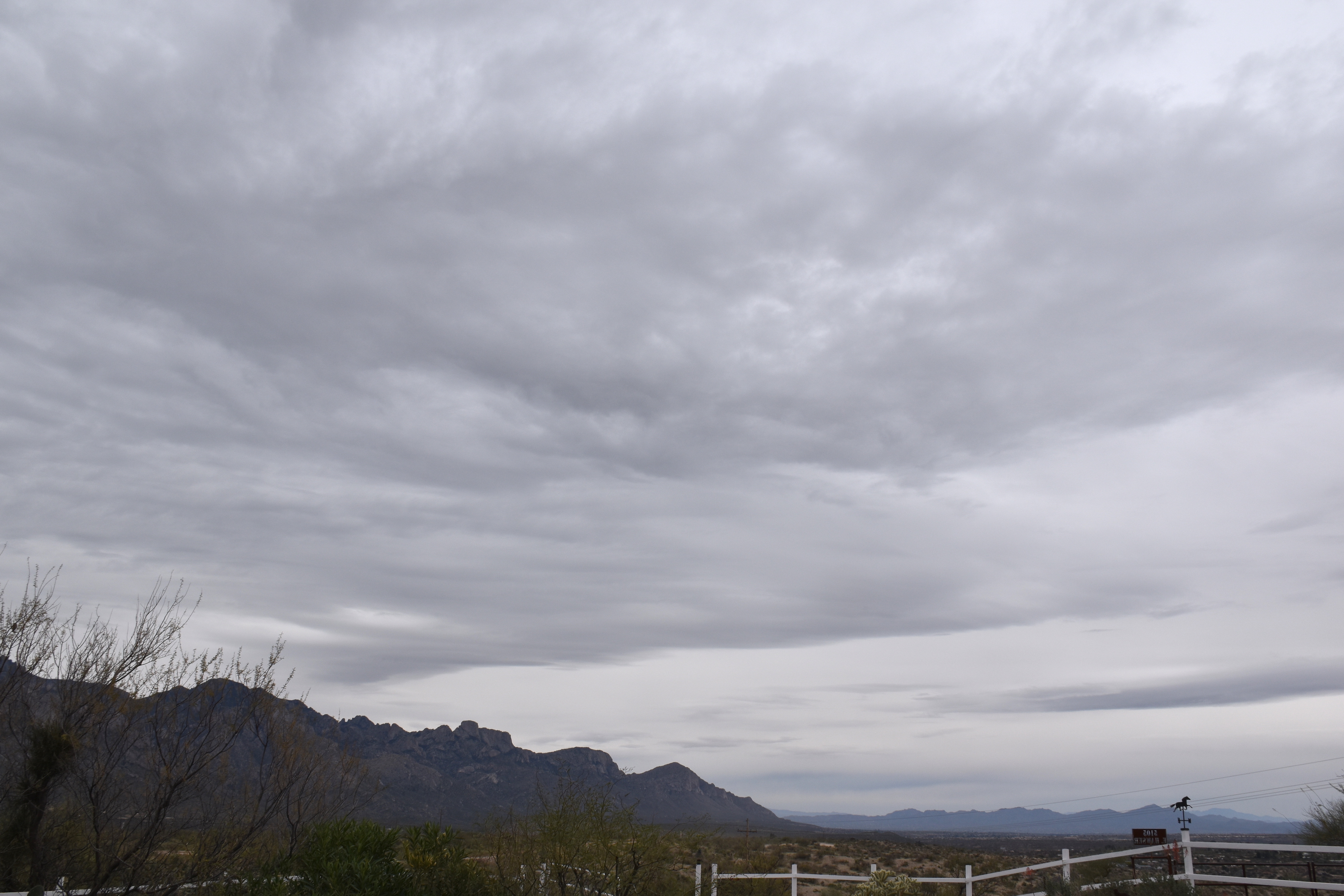
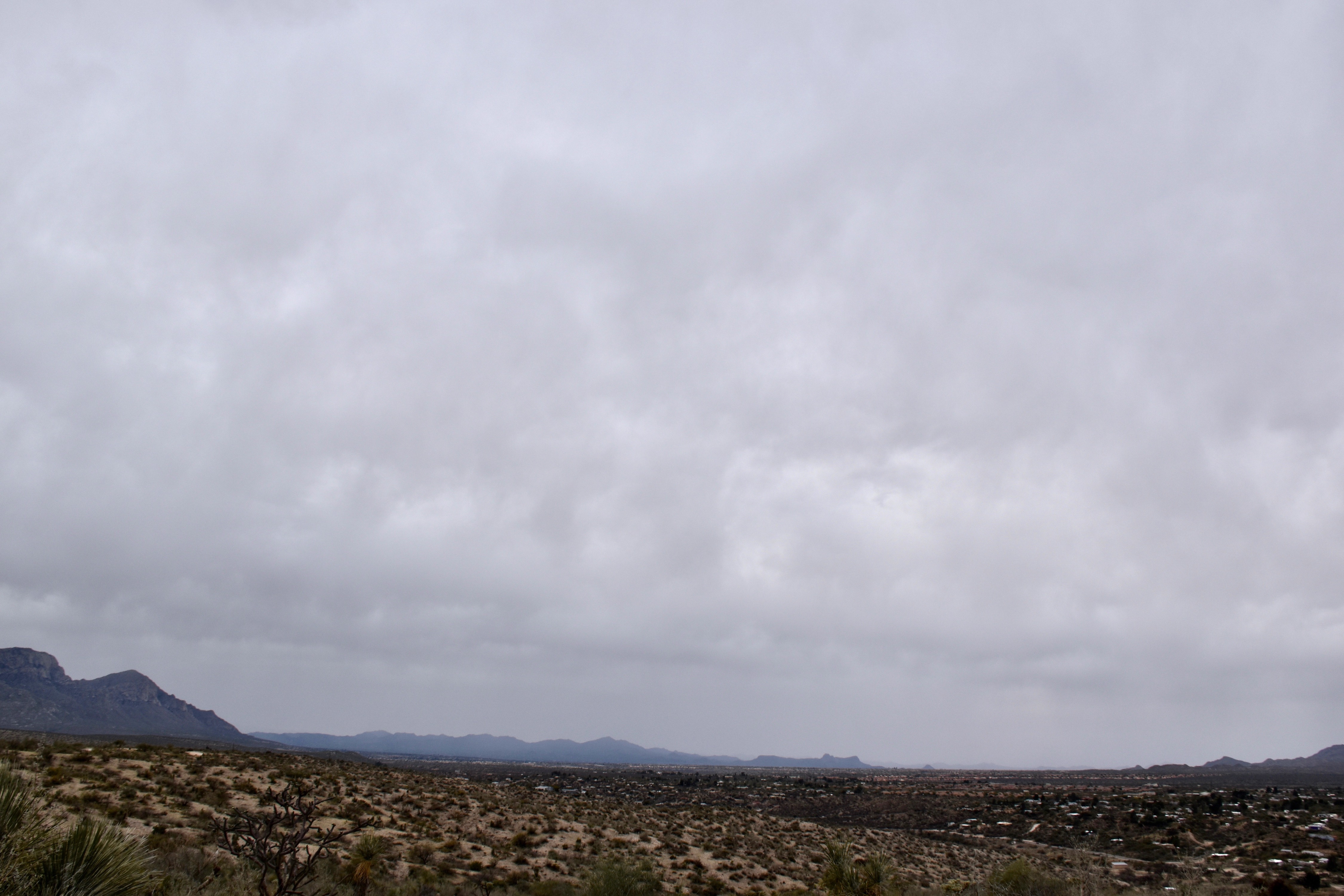
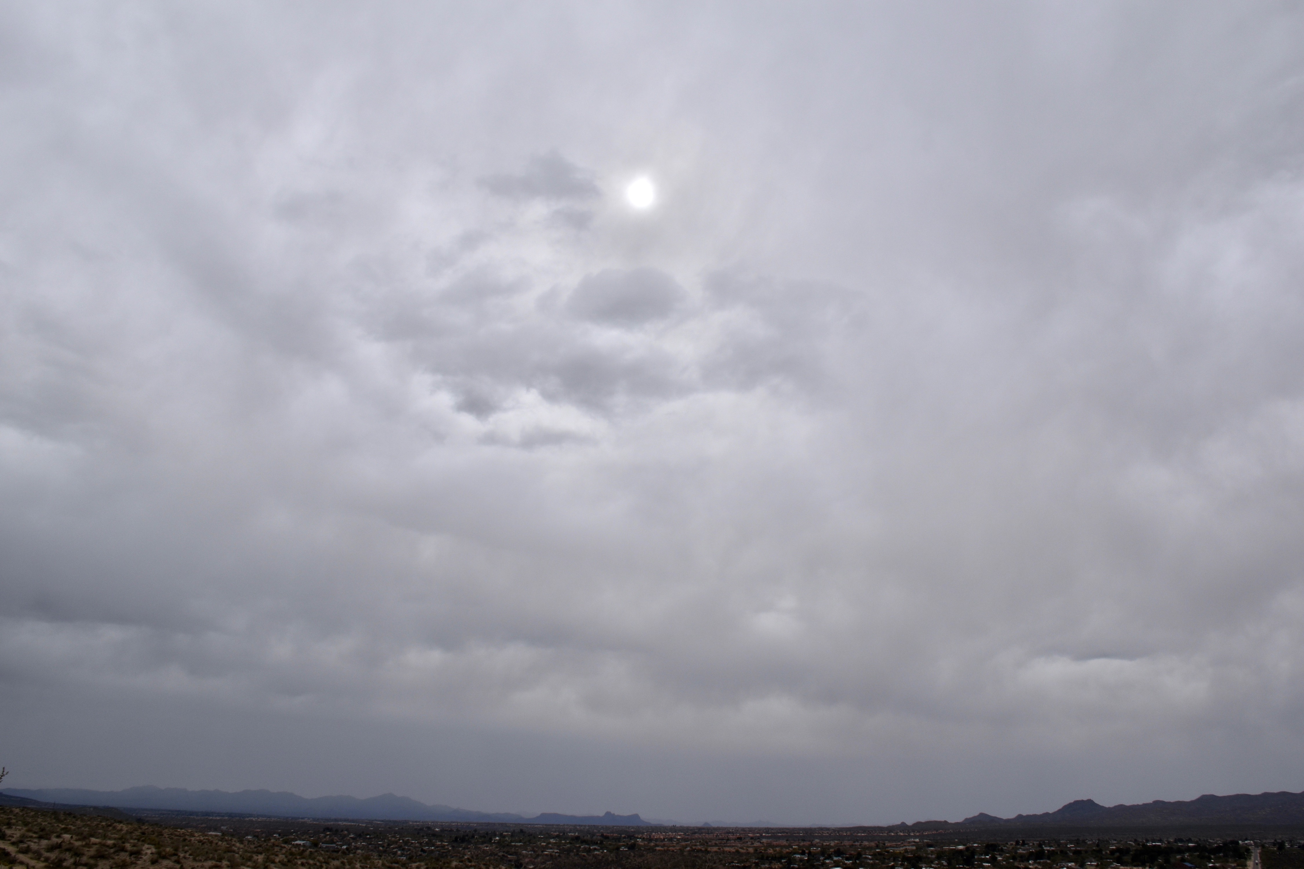
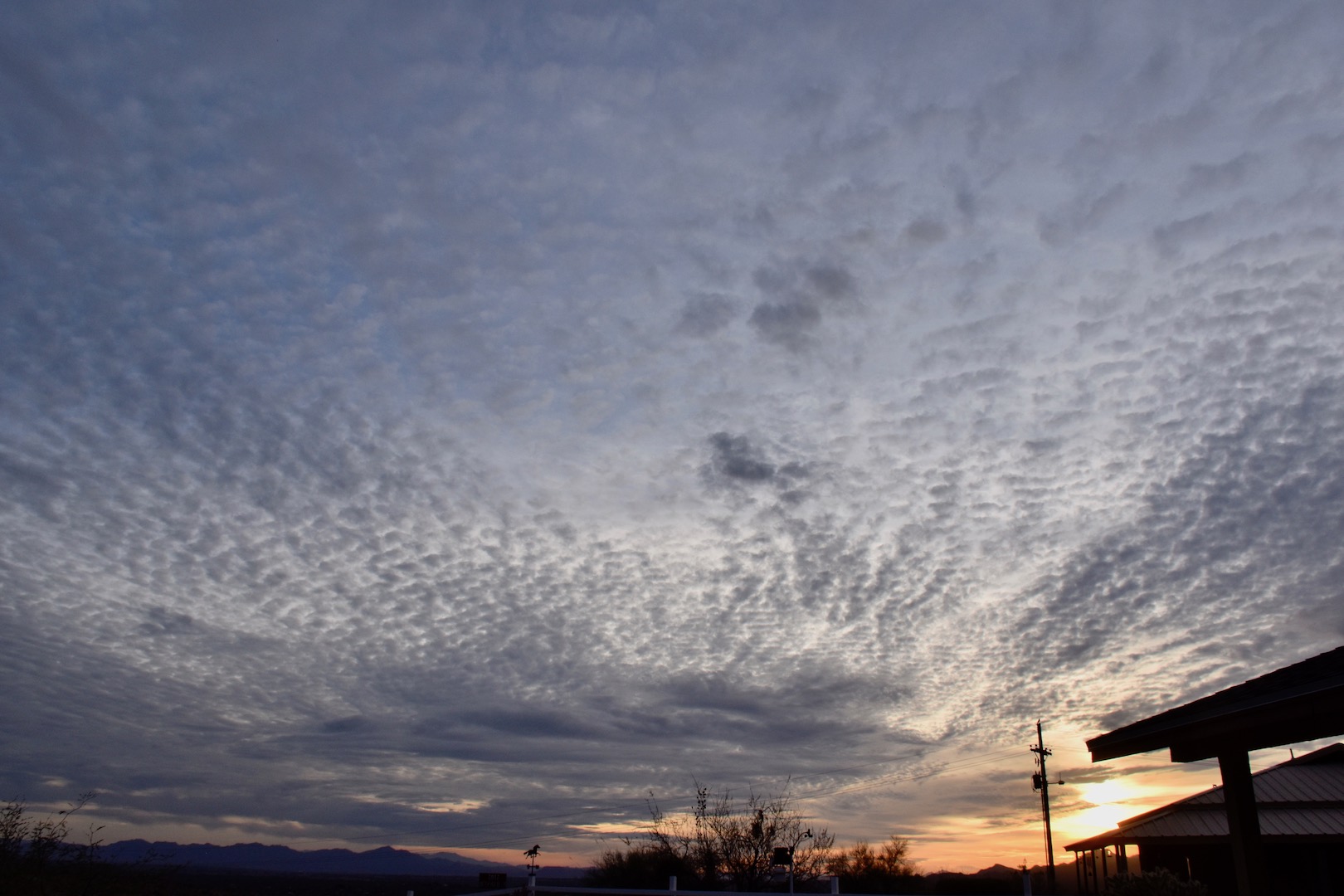
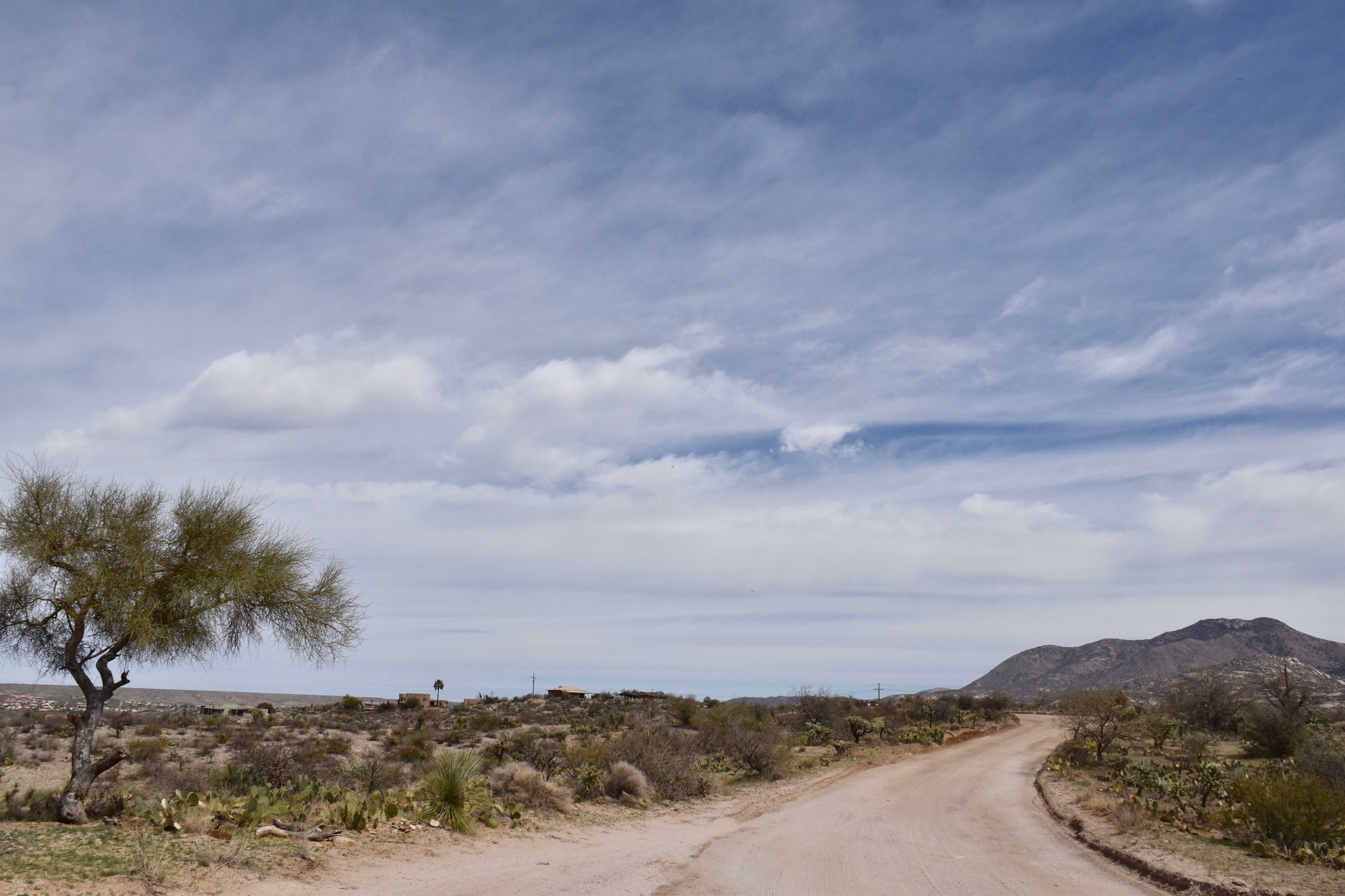
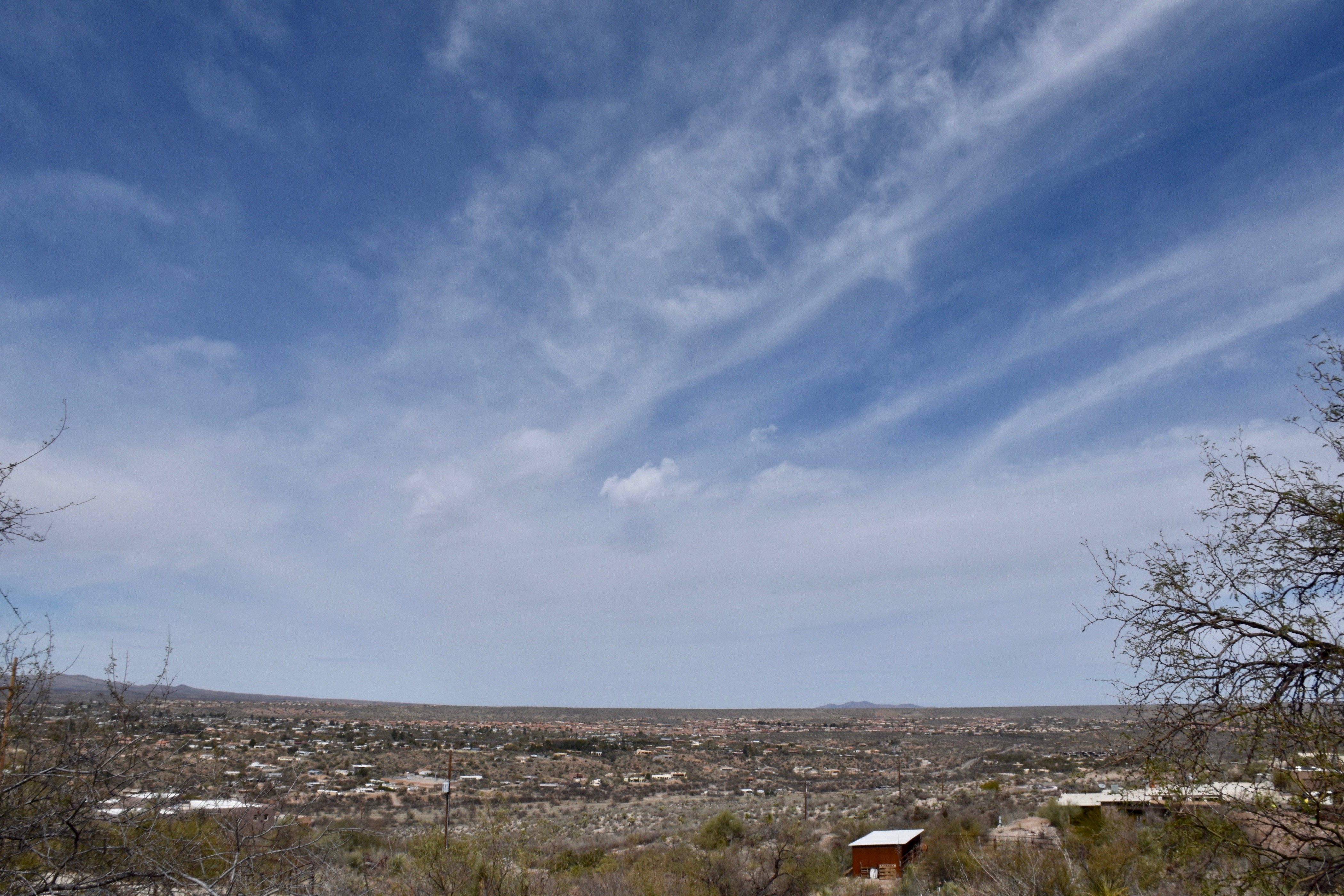
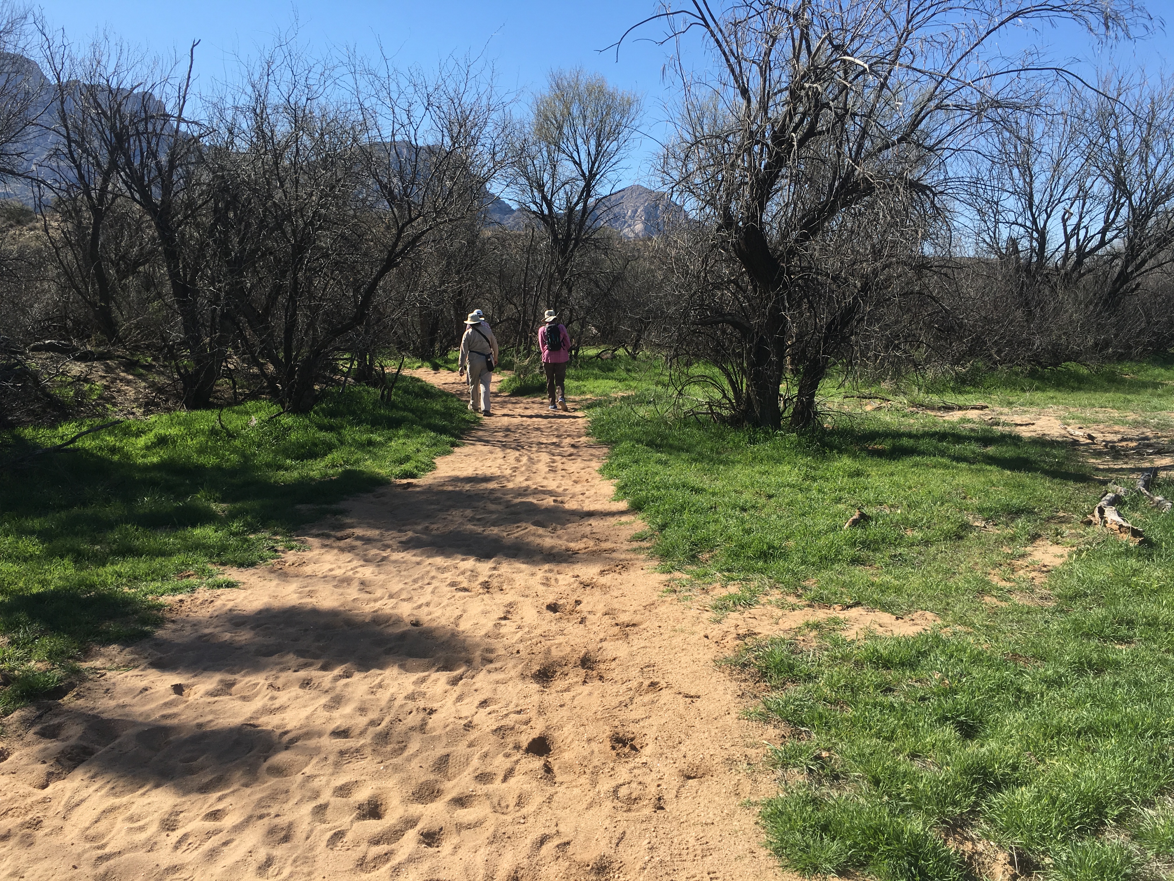
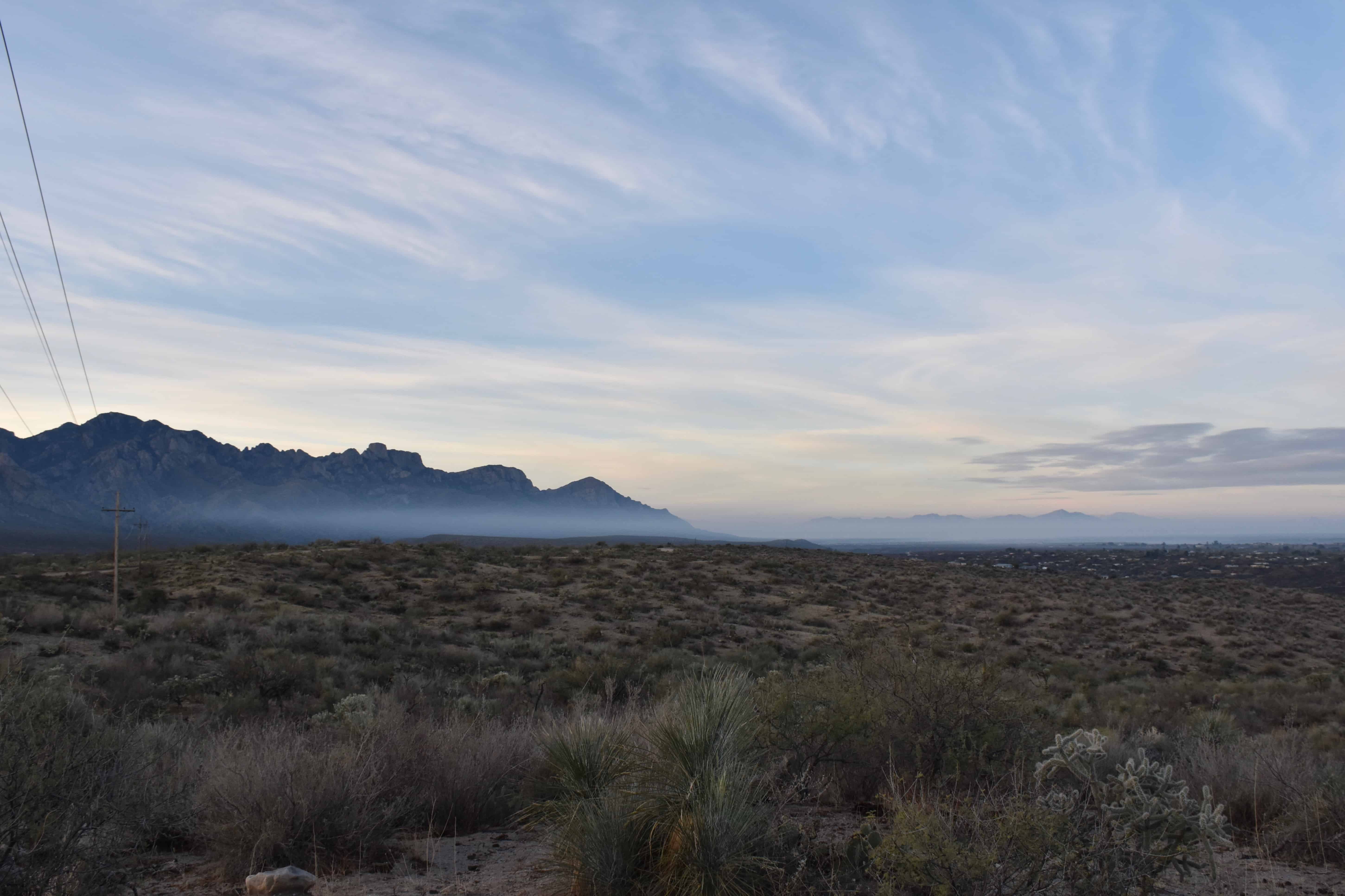
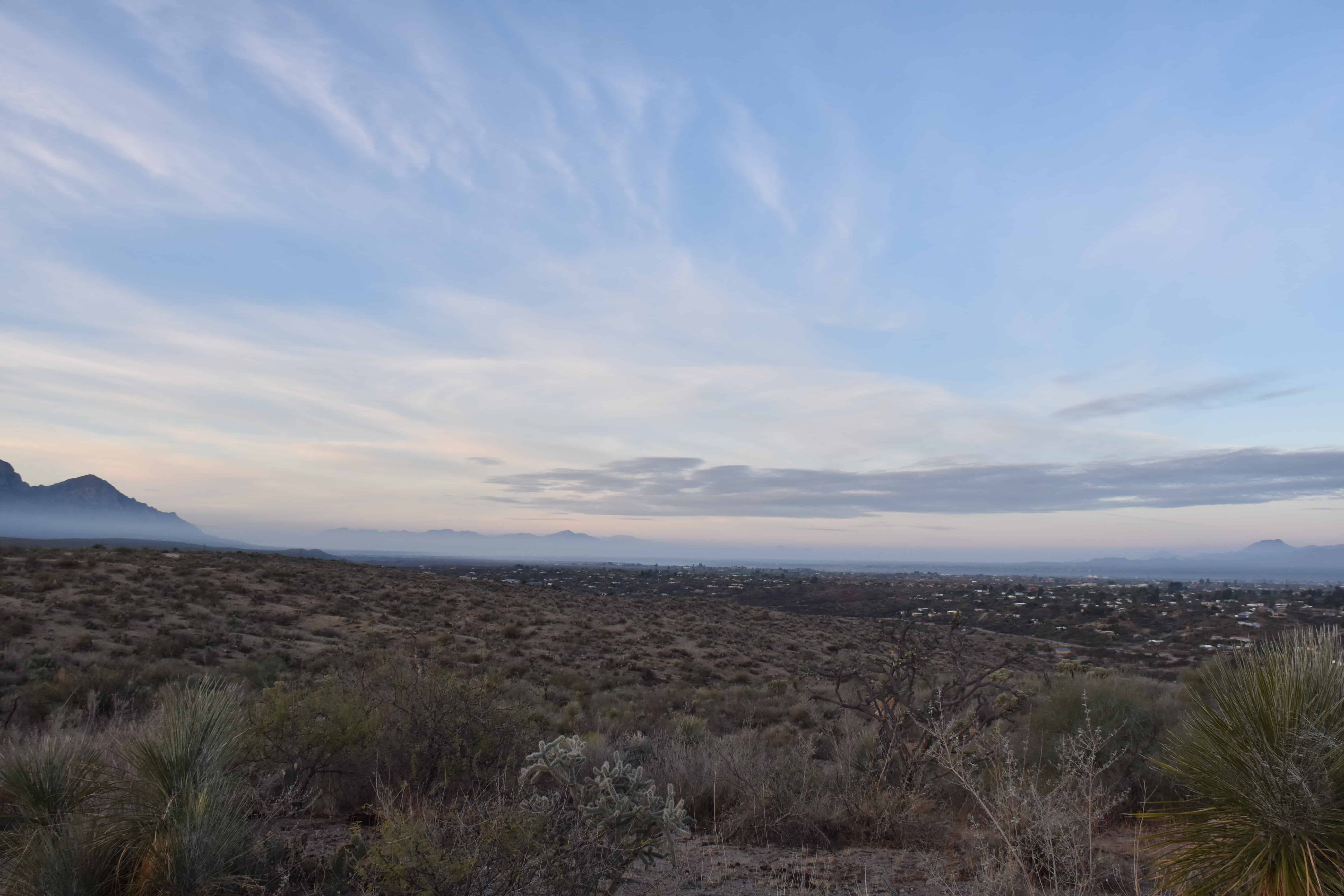
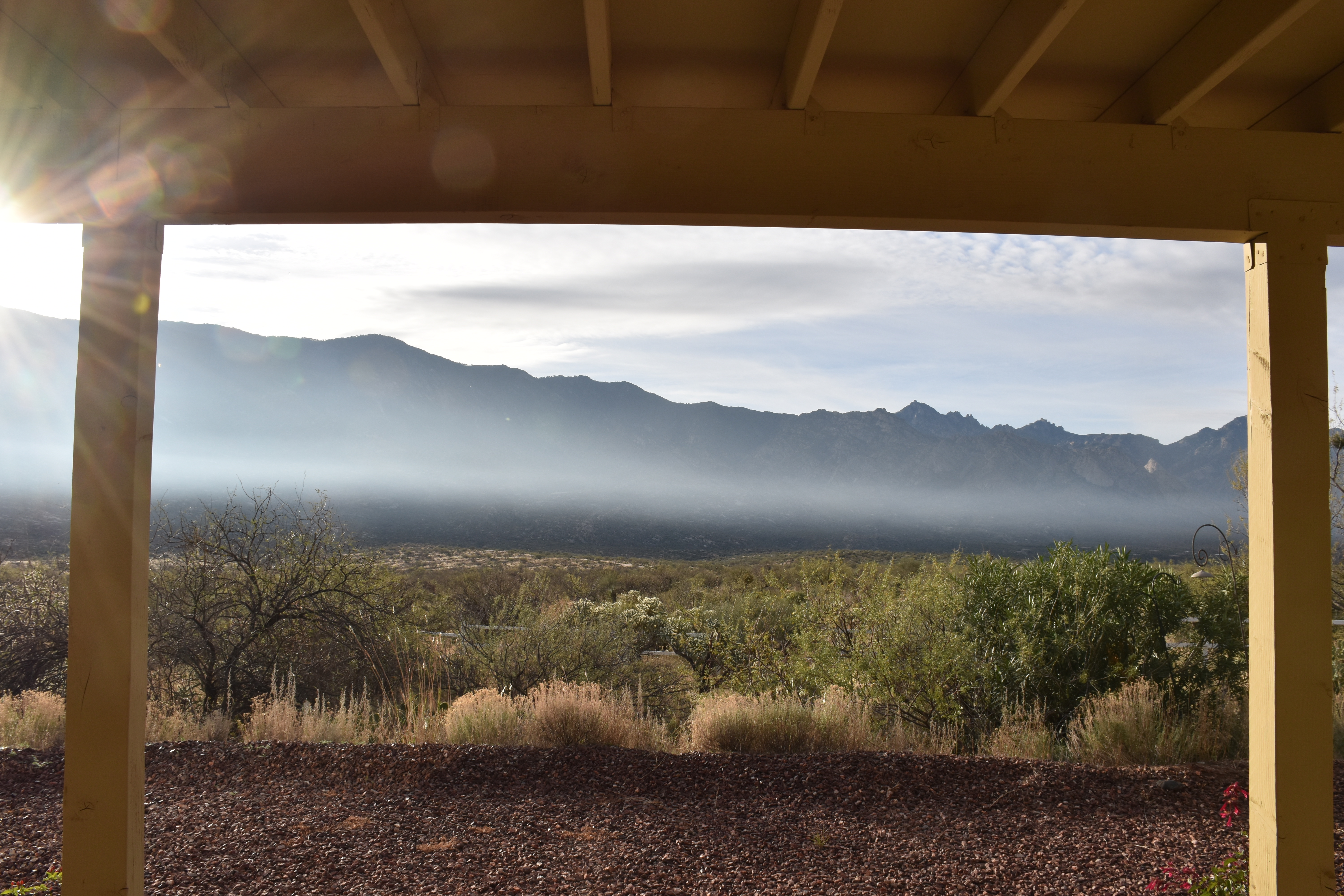
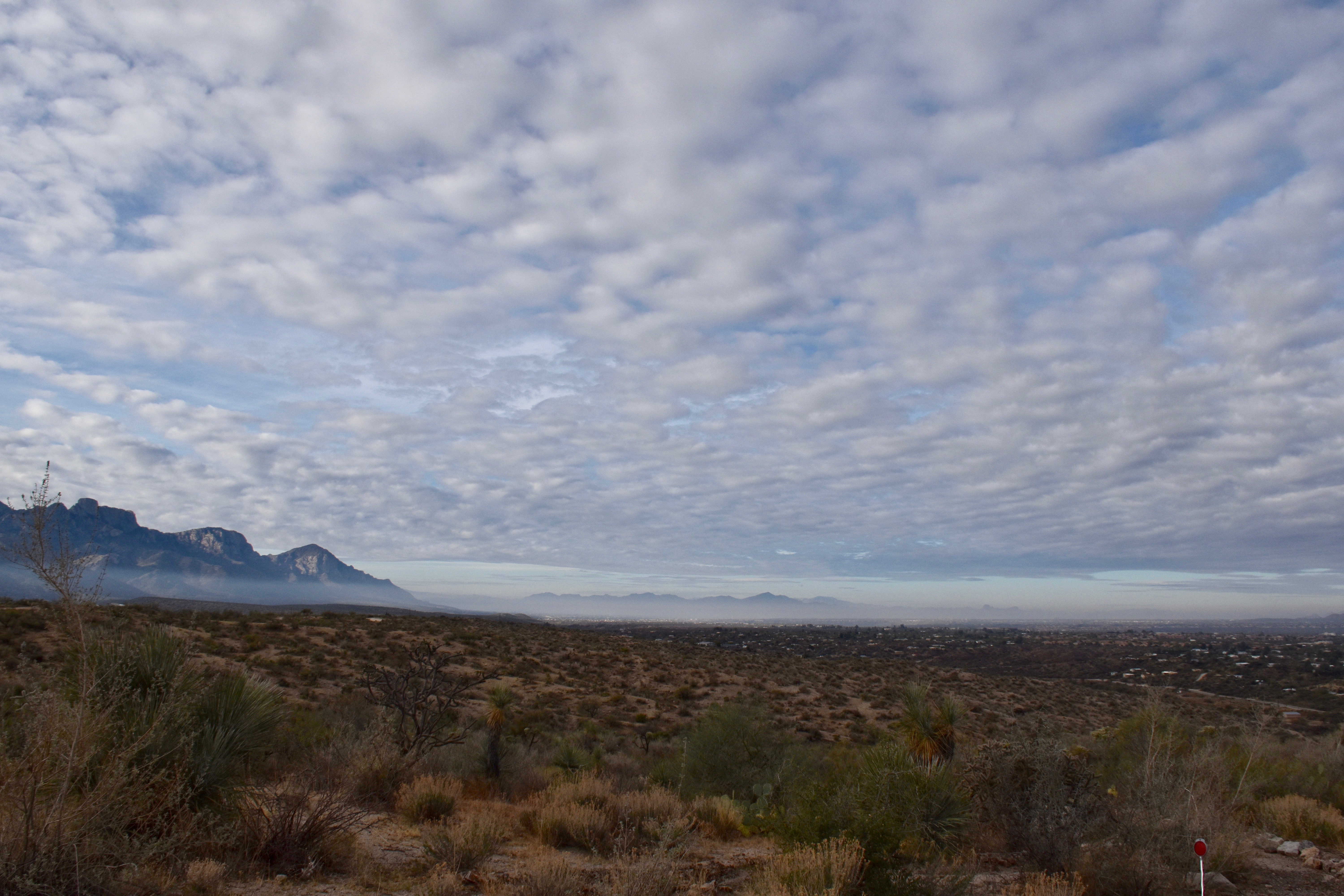
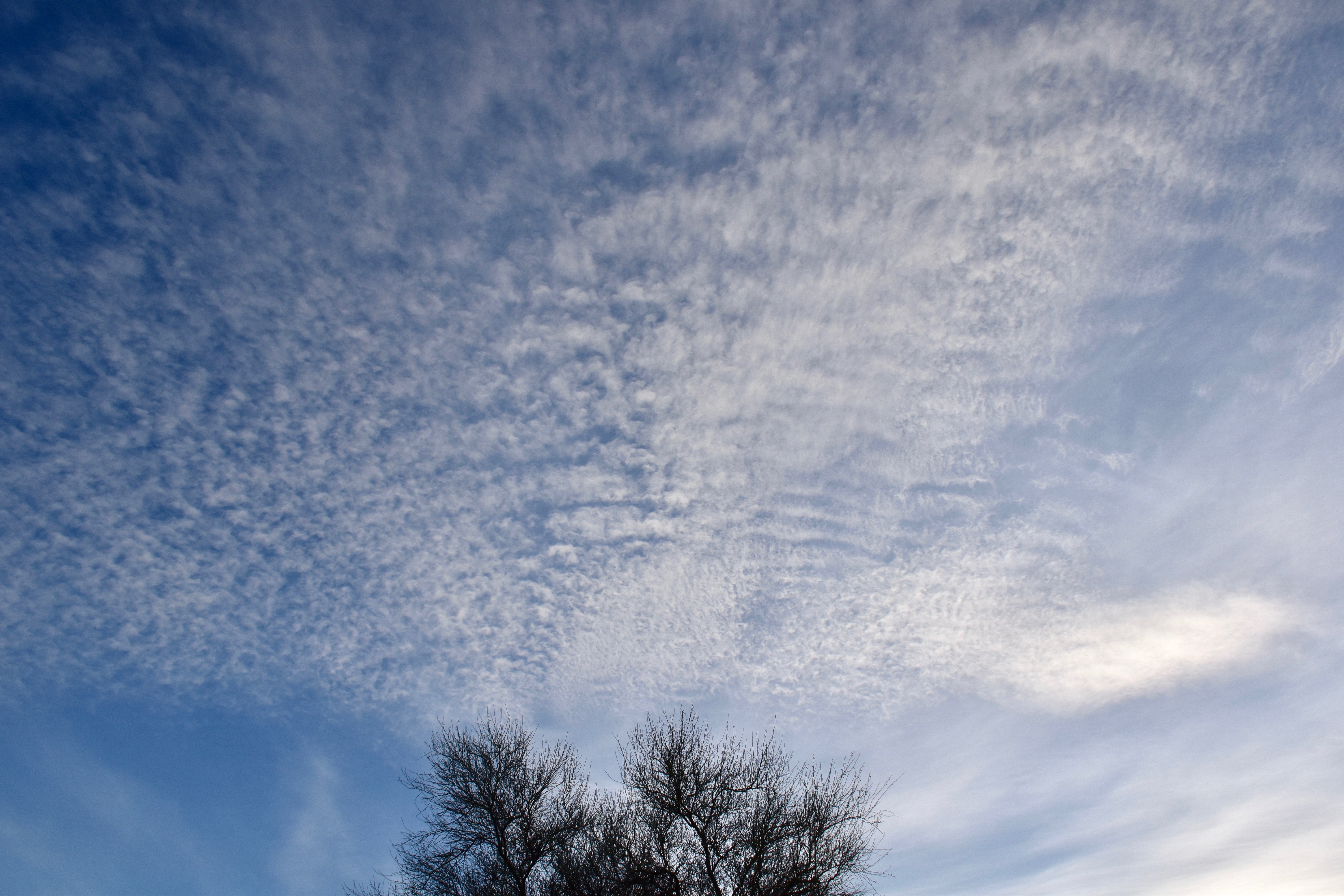
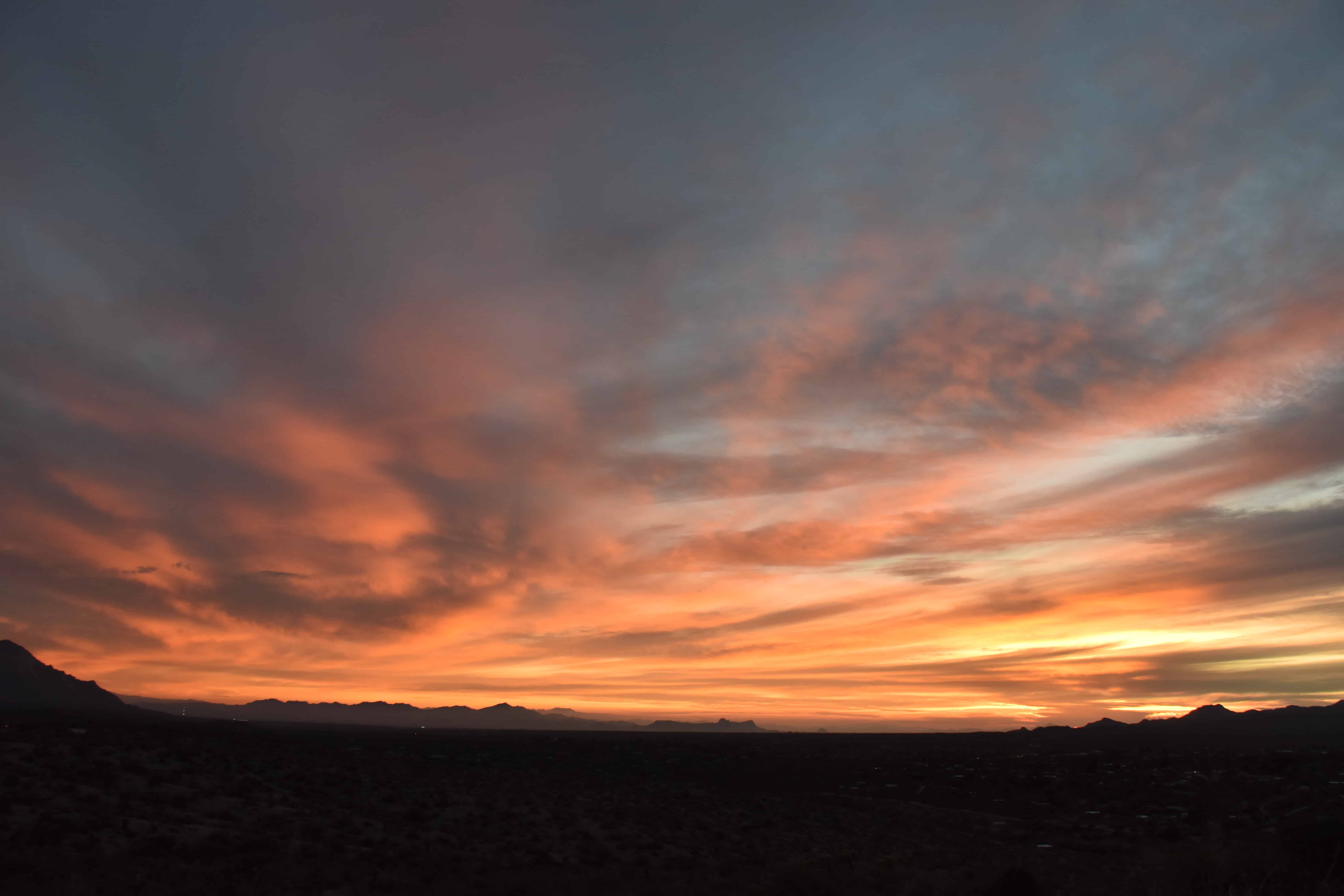
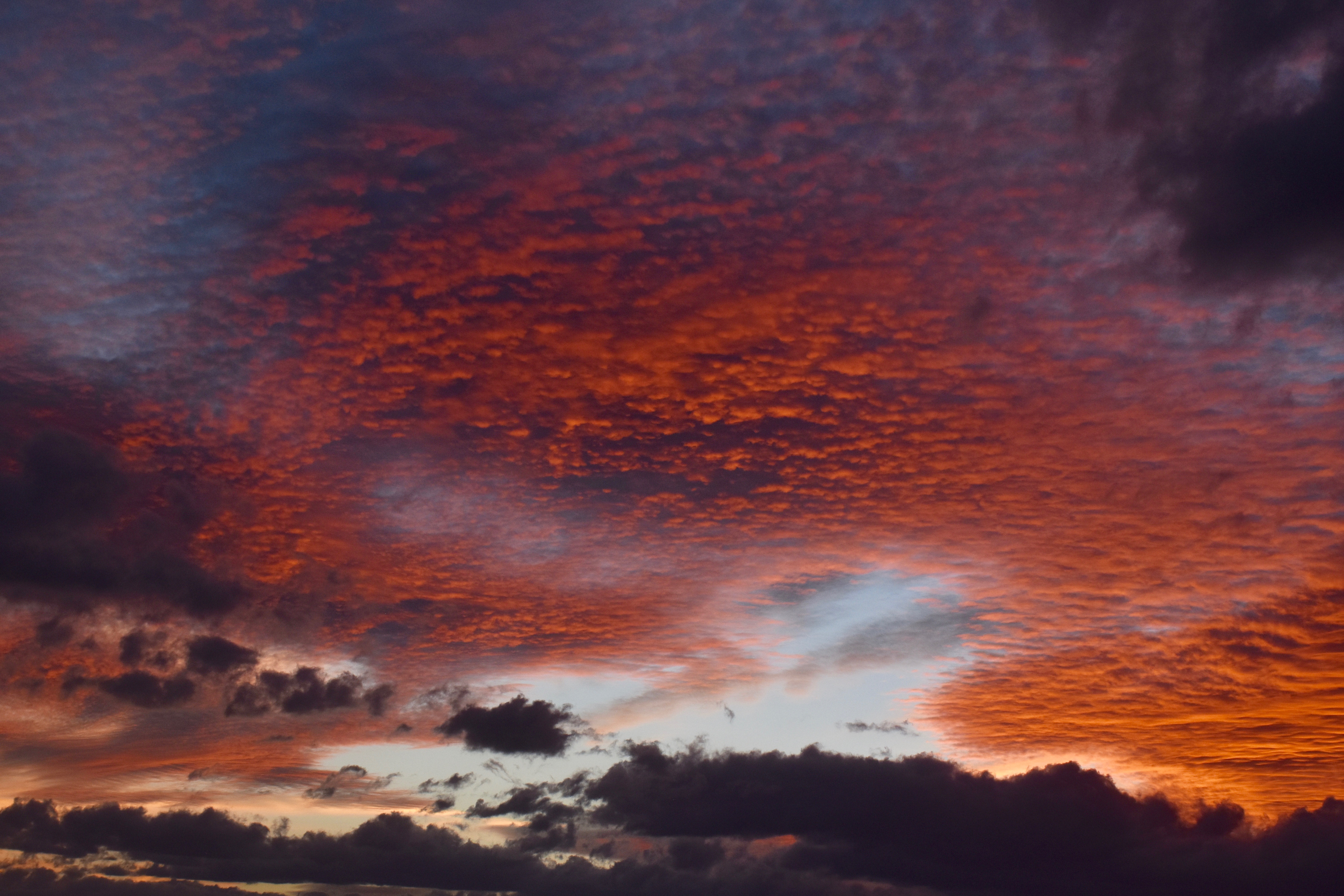
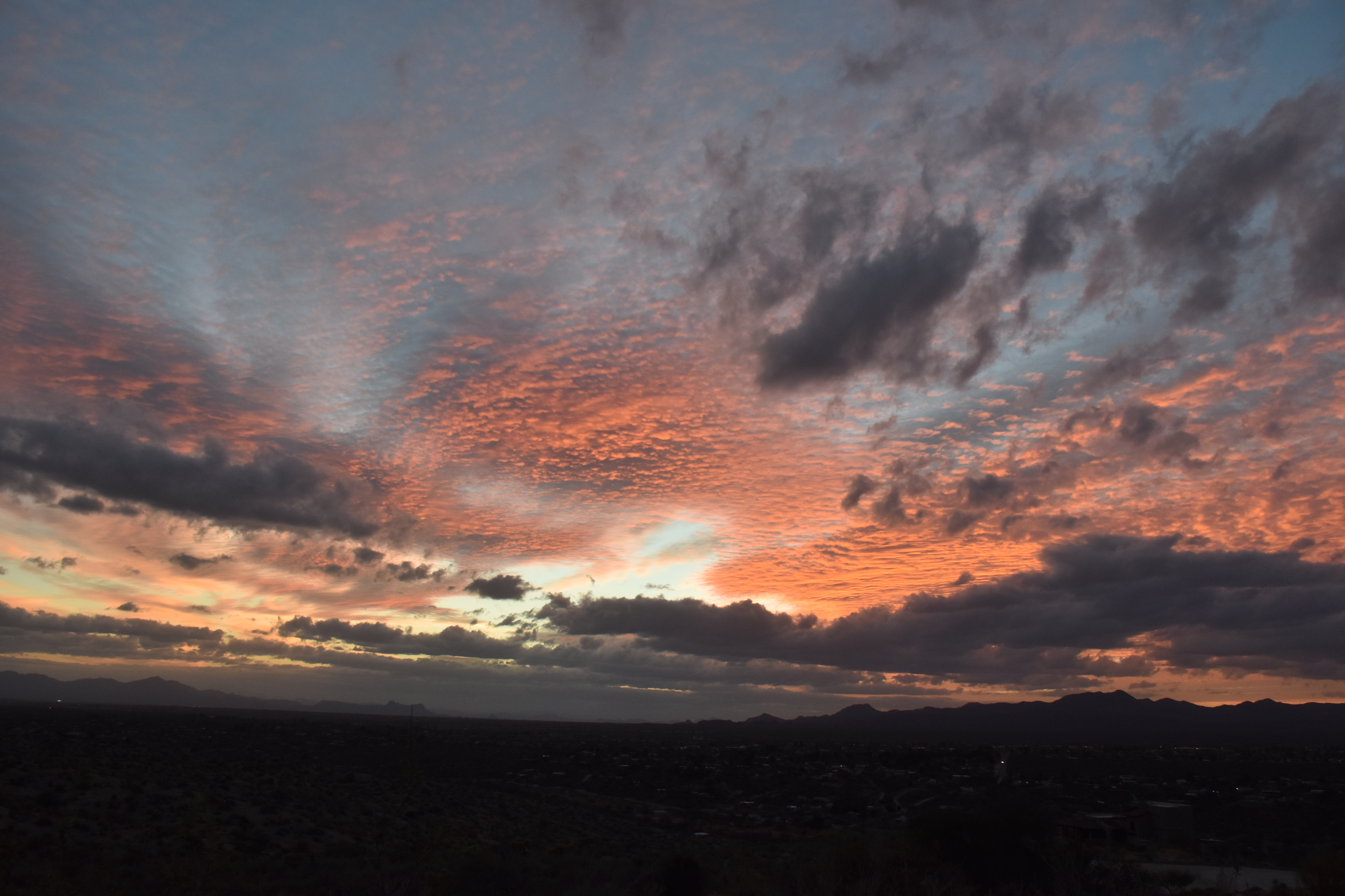
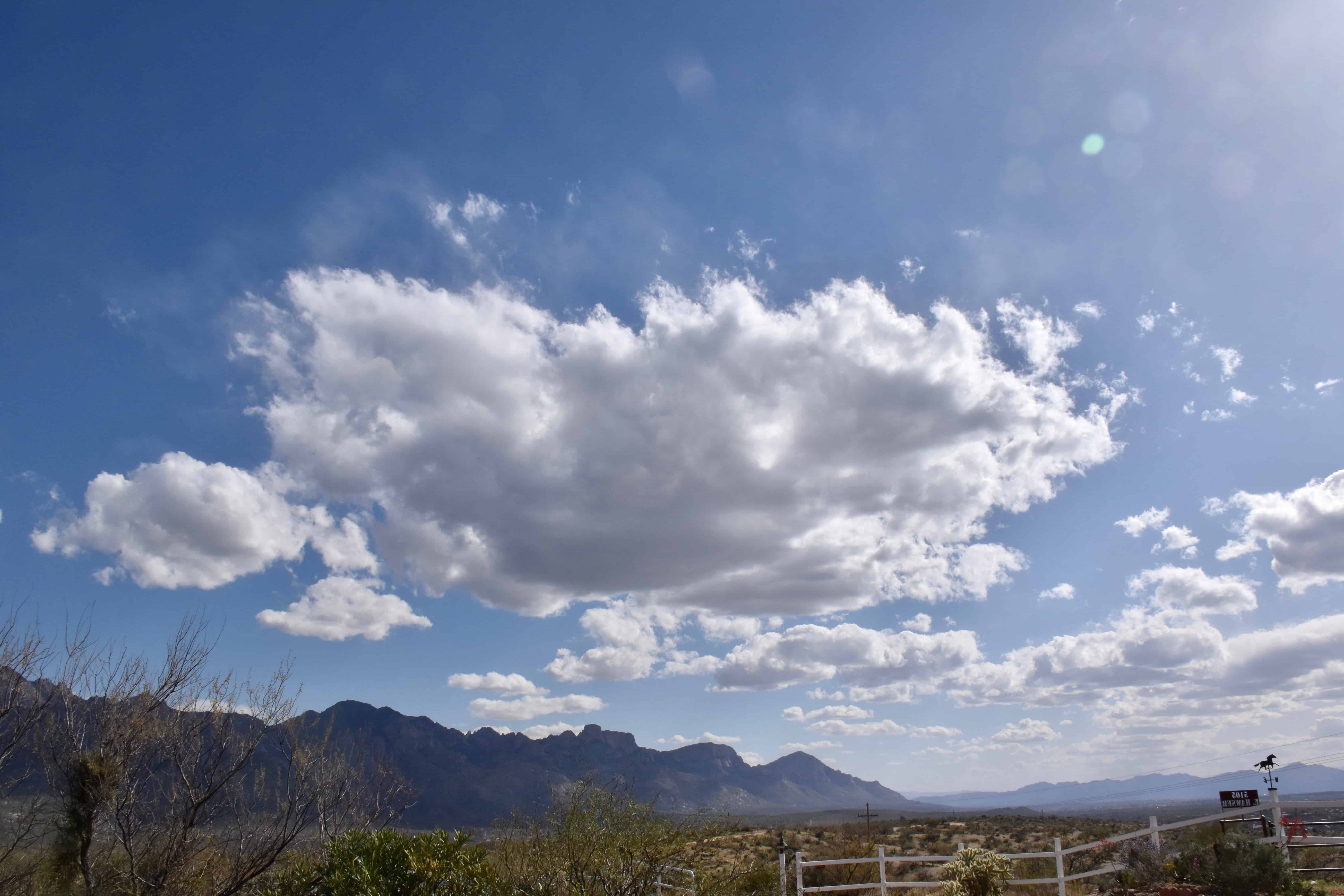
Below, some samples of Frosty the Cumulus (Cumuli, plural):


Not much ahead now. Maybe a few more frosty Cu will form today… before things dry out and heat up.
The End.